Brown's House Top
Bulunduğu yer: Dartmoor Forest, West Devon District Koordinatlar: 50°36′25″ K 3°57′35″ B
Bu yerin adı bu dilde henüz doğrulanmadı; özgün haliyle gösteriliyor.
- Rakım
- 539 m
- deniz seviyesinden
- Yerel saat
- UTC+00:00
- Europe/London · UTC+00:00
Brown's House Top hakkında
Brown's House Top bir dağdır. Konum: Dartmoor Forest, West Devon District. Rakım: 539 m.
Karşılaştırmalı bilgiler
- Yüksekliğe göre Birleşik Krallık içindeki 18223 dağdan 4160.
- 10 km içinde 38 gezilecek ve doğal yer Higher White Tor, Longaford Tor
Yakındaki turistik ve doğal yerler
Yakındaki her şey-
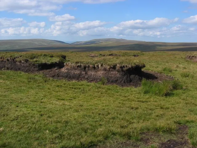 Cut Hill Dağ, Dartmoor Forest2,8 km KB
-
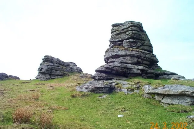 Great Links Tor Dağ, Lydford8 km KB
-
Bush Down Dağ, North Bovey7,8 km D
-
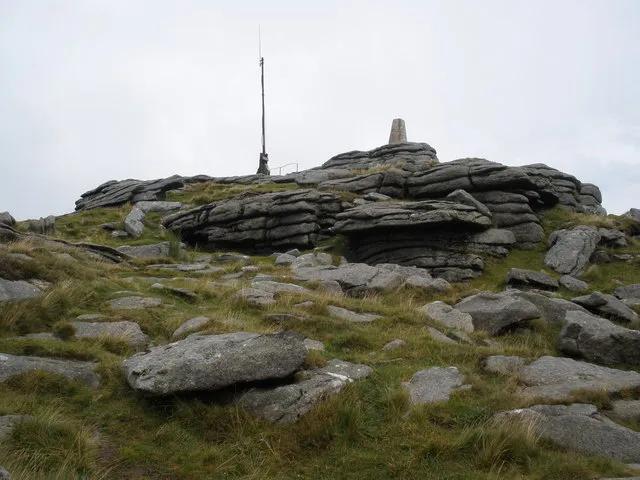 Yes Tor (Okehampton) Dağ, Okehampton Hamlets10 km K
-
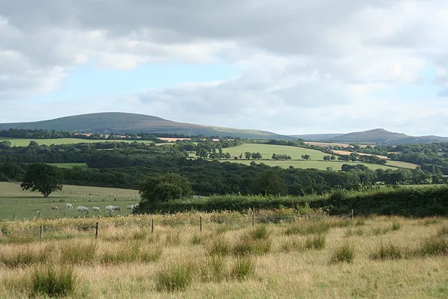 Cosdon Hill Dağ, South Tawton11 km K
Kaynaklar ve lisanslar
Verilerin son güncellenmesi: