Ribble Valley District
Bulunduğu yer: Lancashire, İngiltere Koordinatlar: 53°54′09″ K 2°24′58″ B
Bu yerin adı bu dilde henüz doğrulanmadı; özgün haliyle gösteriliyor.
- Nüfus
- 58.826
- 58,8 B
- Rakım
- 164 m
- deniz seviyesinden
- Yerel saat
- UTC+00:00
- Europe/London · UTC+00:00
- İçindeki yerler
- 49
- Ribble Valley District altında listelenen
Ribble Valley District hakkında
Ribble Valley District bir beldedir. Konum: Lancashire, İngiltere. Nüfus: 58.826. Rakım: 164 m.
Karşılaştırmalı bilgiler
- Nüfusa göre Lancashire içindeki 12 yerleşimden 12.
- Daha büyük en yakın yerleşim: Pendle District, 15 km D
- 10 km içinde 31 gezilecek ve doğal yer Waddow Hill, Waddington Fell
- Burada listelenenler: Köy / Mahalle: 49
Ribble Valley District içindeki yerler
49 yer-
Aighton, Bailey and Chaigley Köy / Mahalle
-
Balderstone Köy / Mahalle
-
Bashall Eaves Köy / Mahalle
-
Billington and Langho Köy / Mahalle
-
Bolton-by-Bowland Köy / Mahalle
-
Bowland Forest High Köy / Mahalle
-
Bowland Forest Low Köy / Mahalle
-
Bowland-with-Leagram Köy / Mahalle
-
Chatburn Köy / Mahalle
-
Chipping Köy / Mahalle
-
Clayton-le-Dale Köy / Mahalle
-
Clitheroe Köy / Mahalle
-
Dinckley Köy / Mahalle
-
Downham Köy / Mahalle
-
Dutton Köy / Mahalle
-
Easington Köy / Mahalle
-
Gisburn Köy / Mahalle
-
Gisburn Forest Köy / Mahalle
-
Great Mitton Köy / Mahalle
-
Grindleton Köy / Mahalle
-
Horton Köy / Mahalle
-
Hothersall Köy / Mahalle
-
Little Mitton Köy / Mahalle
-
Longridge Köy / Mahalle
-
Mearley Köy / Mahalle
-
Mellor Köy / Mahalle
-
Middop Köy / Mahalle
-
Newsholme Köy / Mahalle
-
Newton Köy / Mahalle
-
Osbaldeston Köy / Mahalle
-
Paythorne Köy / Mahalle
-
Pendleton Köy / Mahalle
-
Ramsgreave Köy / Mahalle
-
Read Köy / Mahalle
-
Ribchester Köy / Mahalle
-
Rimington Köy / Mahalle
-
Sabden Köy / Mahalle
-
Salesbury Köy / Mahalle
-
Sawley Köy / Mahalle
-
Simonstone Köy / Mahalle
-
Slaidburn Köy / Mahalle
-
Thornley-with-Wheatley Köy / Mahalle
-
Twiston Köy / Mahalle
-
Waddington Köy / Mahalle
-
West Bradford Köy / Mahalle
-
Whalley Köy / Mahalle
-
Wilpshire Köy / Mahalle
-
Wiswell Köy / Mahalle
-
Worston Köy / Mahalle
Yakındaki turistik ve doğal yerler
Yakındaki her şey-
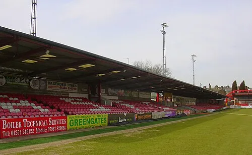 Crown Ground Önemli yapı, Altham16 km G
-
 Turf Moor Önemli yapı, Burnley District18 km GD
-
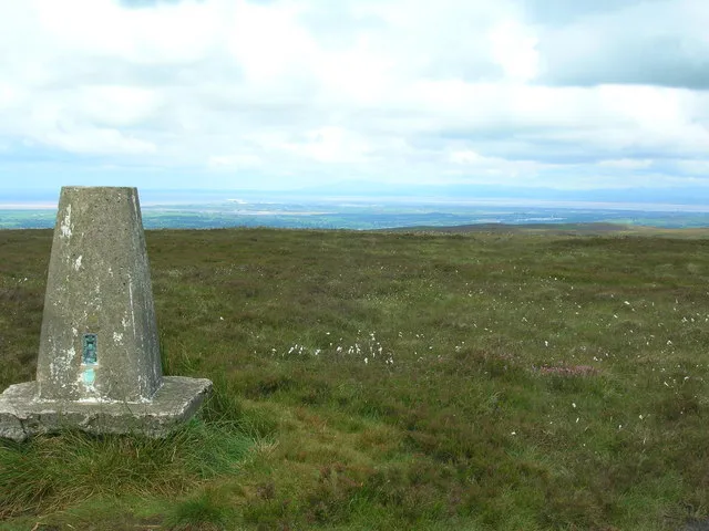 Hazelhurst Fell Dağ, Bleasdale17 km B
-
Great Hameldon Dağ, Hapton18 km GD
-
Stake House Fell Dağ, Bleasdale18 km B
Lancashire içindeki diğer şehir ve kasabalar
-
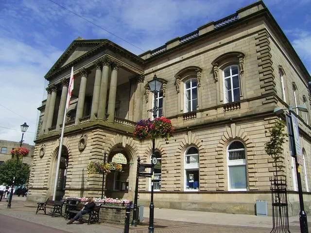 Accrington Kasaba, Hyndburn District17 km G
-
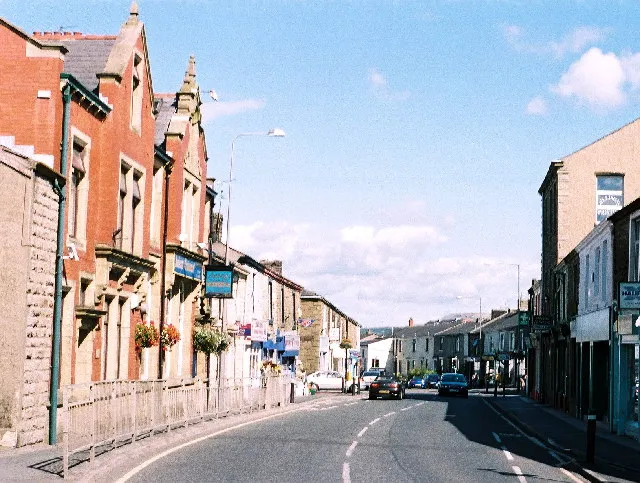 Rishton Kasaba, Hyndburn District15 km G
-
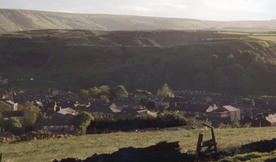 Haslingden Kasaba, Rossendale District23 km G
-
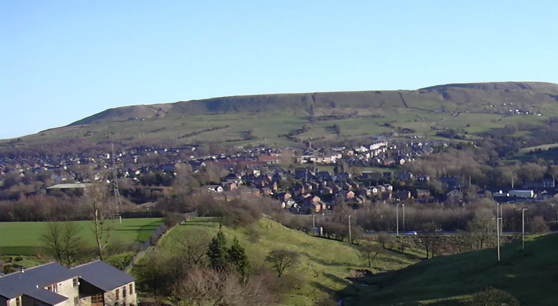 Rawtenstall Kasaba, Rossendale District24 km G
-
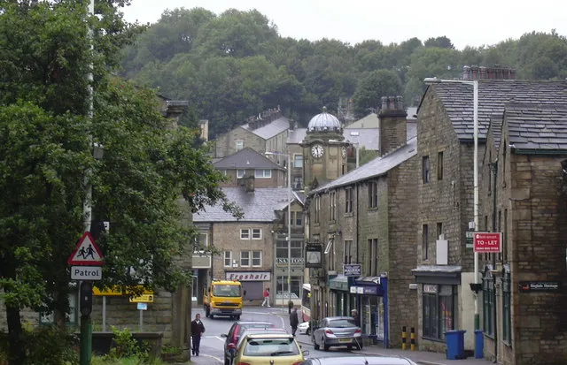 Bacup Kasaba, Rossendale District26 km GD
Kaynaklar ve lisanslar
Verilerin son güncellenmesi: