La Playa de Cococciò
Liegt in Porto Sant'Elpidio, Province of Fermo Koordinaten: 43°16′38″ N 13°45′08″ O
- Höhe
- 3 m
- über dem Meeresspiegel
- Ortszeit
- UTC+01:00
- Europe/Rome · UTC+01:00
- Flughäfen
- AOI Marche Airport49 km
- PSR Abruzzo Airport100 km
Über La Playa de Cococciò
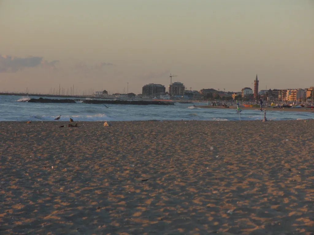
La Playa de Cococciò ist ein Strand. Lage: Porto Sant'Elpidio, Province of Fermo. Die beste Reisezeit: Mai, September–Oktober. Nächster Flughafen: Marche Airport (49 km). In der Nähe: Spiaggia Porto Sant'Elpidio und Spiaggia di Portocivitanova.
Klima in La Playa de Cococciò
Beste Monate für BesichtigungenBeste Monate für Besichtigungen: Mai, September–Oktober.
Dieser Monat · November
Außerhalb der besten Reisezeit
Tag 15° · Nacht 7° · Regen 75 mm
- Wärmster Monat
- Juli (Tag 30°)
- Kältester Monat
- Januar (Nacht 2°)
- Nassester Monat
- November (75 mm)
- Trockenster Monat
- Juli (42 mm)
Balken: mittlere Monatstiefst- und -höchsttemperatur. Darunter: Niederschlag. Monatsmittel 1970–2000 bei etwa 18 km Auflösung, höhenkorrigiert. Hervorgehobene Monate sind mild und relativ trocken. Quelle: WorldClim 2.1 (CC BY 4.0).
Werte als Tabelle anzeigen
| Monat | Jan | Feb | Mär | Apr | Mai | Jun | Jul | Aug | Sep | Okt | Nov | Dez |
|---|---|---|---|---|---|---|---|---|---|---|---|---|
| Mittleres Maximum (°C) | 10° | 11° | 14° | 18° | 23° | 27° | 30° | 30° | 26° | 21° | 15° | 11° |
| Mittleres Minimum (°C) | 2° | 3° | 5° | 7° | 12° | 16° | 18° | 18° | 15° | 11° | 7° | 4° |
| Niederschlag (mm) | 47 | 44 | 54 | 57 | 47 | 58 | 42 | 59 | 70 | 72 | 75 | 61 |
Anreise nach La Playa de Cococciò
Nächster Flughafen ist Marche Airport (AOI), Luftlinie 49 km Richtung Nordwesten. Für internationale Flüge: Abruzzo Airport (PSR) (100 km). Nächste Großstadt ist Split, 219 km Richtung Osten.
Flughäfen
- Marche Airport (AOI) Falconara Marittima (AN) 49 kmNordwesten
- Abruzzo Airport (PSR) Pescara 100 kmSüden
- Perugia San Francesco d'Assisi – Umbria International Airport (PEG) Perugia (PG) 103 kmWesten
Großstädte in der Nähe
- Split Einwohner: 149.830 219 kmOsten
- Rijeka Einwohner: 107.964 234 kmNorden
- Ljubljana Einwohner: 272.220 314 kmNorden
- Banja Luka Einwohner: 221.106 323 kmNordosten
- Mostar Einwohner: 104.518 329 kmOsten
Luftlinie; die Straßenentfernung ist länger. Flughafendaten: OurAirports.
Tagesausflüge ab La Playa de Cococciò
Im Umkreis von 100 km: 48 historische und kulturelle Stätten, 160 Naturorte, 45 Seen, Flüsse und Küsten.
0–25 km20 Orte
- Spiaggia Marina Palmense Strand 15 kmS
- Spiaggia Lido di Fermo Strand 8 kmS
- Spiaggia Porto Sant'Elpidio Strand 2 kmS
- Spiaggia Pedaso Strand 21 kmS
25–60 km74 Orte
- Giulianova Beach Strand 59 kmS
- Bersaglio Strand 49 kmNW
- Spiaggia Cupra Marittima Strand 29 kmS
- Spiaggia di Falconara Marittim Strand 48 kmNW
60–100 km159 Orte
- Appennino Umbro Berg 96 kmW
- Bagni Due Palme Strand 96 kmNW
- Miramare Beach Strand 94 kmNW
- Arzilla Strand 88 kmNW
Luftlinie.
Nächstgelegene Städte und Dörfer
-
Fonte di Mare Dorf, Porto Sant'Elpidio1,2 km NW
-
Bivio Cascinare Dorf, Sant'Elpidio a Mare2,3 km W
-
Bivio Strada Vecchia Dorf, Porto Sant'Elpidio3,2 km S
-
 Civitanova Marche Kleinstadt, Civitanova Marche4 km NW
-
Castellano Dorf, Sant'Elpidio a Mare3,1 km SW
-
Cascinare Dorf, Sant'Elpidio a Mare3,6 km SW
Sehenswertes & Natur in der Nähe
Alles in der Nähe-
Spiaggia Porto Sant'Elpidio Strand, Porto Sant'Elpidio1,9 km S
-
Spiaggia di Portocivitanova Strand, Civitanova Marche3,6 km N
-
Spiaggia San Tommaso Tre Archi Strand, Fermo5,7 km SO
-
Spiaggia di Fontespina Strand, Civitanova Marche6,5 km NW
-
Spiaggia Casabianca Strand, Fermo7,3 km S
-
Spiaggia Lido di Fermo Strand, Fermo8,4 km S
-
Spiaggia di Porto Potenza Picena Strand, Potenza Picena10 km NW
-
Spiaggia Marina Palmense Strand, Fermo15 km S
Quellen & Lizenzen
Daten zuletzt aktualisiert: · 2 unabhängige Quellen