Aspley Hall
Liegt in Nottingham, England Koordinaten: 52°58′02″ N 1°11′51″ W
Der Name dieses Ortes wurde in dieser Sprache noch nicht verifiziert und wird in der Originalform angezeigt.
- Ortszeit
- UTC+00:00
- Europe/London · UTC+00:00
- Höhe
- 52 m
- über dem Meeresspiegel
- Flughäfen
- EMA East Midlands Airport18 km
- BHX Birmingham Airport68 km
Über Aspley Hall
Aspley Hall ist ein Wahrzeichen. Lage: Nottingham, England. Die beste Reisezeit: Juni–August. Nächster Flughafen: East Midlands Airport (18 km). In der Nähe: Nottingham Castle und Meadow Lane.
Fotos: Aspley Hall
-
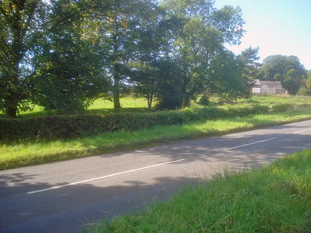
Greasley Castle Trevor Rickard · CC BY-SA 2.0 -
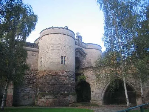
Nottingham Castle Cosmicutencil · CC0 -
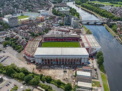
City Ground Arne Müseler · CC BY-SA 3.0 de -
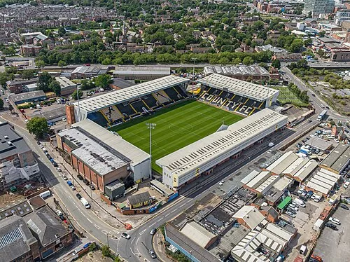
Meadow Lane Arne Müseler · CC BY-SA 3.0 de


Klima in Aspley Hall
Beste Monate für BesichtigungenBeste Monate für Besichtigungen: Juni–August.
Dieser Monat · November
Ein kalter Monat
Tag 10° · Nacht 4° · Regen 56 mm
- Wärmster Monat
- Juli (Tag 21°)
- Kältester Monat
- Februar (Nacht 1°)
- Nassester Monat
- Dezember (61 mm)
- Trockenster Monat
- Februar (44 mm)
Balken: mittlere Monatstiefst- und -höchsttemperatur. Darunter: Niederschlag. Monatsmittel 1970–2000 bei etwa 18 km Auflösung, höhenkorrigiert. Hervorgehobene Monate sind mild und relativ trocken. Quelle: WorldClim 2.1 (CC BY 4.0).
Werte als Tabelle anzeigen
| Monat | Jan | Feb | Mär | Apr | Mai | Jun | Jul | Aug | Sep | Okt | Nov | Dez |
|---|---|---|---|---|---|---|---|---|---|---|---|---|
| Mittleres Maximum (°C) | 7° | 7° | 10° | 12° | 16° | 19° | 21° | 21° | 18° | 14° | 10° | 8° |
| Mittleres Minimum (°C) | 1° | 1° | 3° | 4° | 6° | 9° | 12° | 11° | 9° | 7° | 4° | 2° |
| Niederschlag (mm) | 57 | 44 | 47 | 46 | 45 | 58 | 46 | 54 | 54 | 55 | 56 | 61 |
Anreise nach Aspley Hall
Nächster Flughafen ist East Midlands Airport (EMA), Luftlinie 18 km Richtung Südwesten. Nächste Großstadt ist Nottingham, 4 km Richtung Südosten.
Flughäfen
- East Midlands Airport (EMA) Nottingham, Leicestershire 18 kmSüdwesten
- Birmingham Airport (BHX) Birmingham, West Midlands 68 kmSüdwesten
- Manchester Airport (MAN) Manchester, Greater Manchester 84 kmNordwesten
Großstädte in der Nähe
- Nottingham Einwohner: 323.632 4 kmSüdosten
- Mansfield Einwohner: 171.958 18 kmNorden
- Derby Einwohner: 270.468 19 kmWesten
- Chesterfield Einwohner: 113.057 35 kmNordwesten
- Burton-upon-Trent Einwohner: 122.199 35 kmSüdwesten
Luftlinie; die Straßenentfernung ist länger. Flughafendaten: OurAirports.
Tagesausflüge ab Aspley Hall
Im Umkreis von 100 km: 585 historische und kulturelle Stätten, 674 Naturorte, 118 Seen, Flüsse und Küsten.
0–25 km83 Orte
- Barton Island Insel 8 kmS
- Holme Nook Insel 18 kmW
- Newtonwood Lane Berg 21 kmNW
- Bessalone Berg 20 kmNW
25–60 km444 Orte
- Newark Island Insel 28 kmNO
- Horninglow island Insel 34 kmSW
- Don Island Insel 52 kmN
- Torksey Island Insel 48 kmNO
60–100 km850 Orte
- Read's Island Insel 91 kmNO
- Whitton Island Insel 90 kmN
- Howden Dyke Island Insel 87 kmN
- Beal Island Insel 84 kmN
Luftlinie.
Sehenswertes & Natur in der Nähe
Alles in der Nähe-
Nottingham Castle Historische Stätte, Nottingham3,5 km SO
-
Meadow Lane Wahrzeichen, Nottingham4,9 km SO
-
City Ground Wahrzeichen, Rushcliffe5,3 km SO
-
Greasley Castle Historische Stätte, Greasley7,4 km NW
-
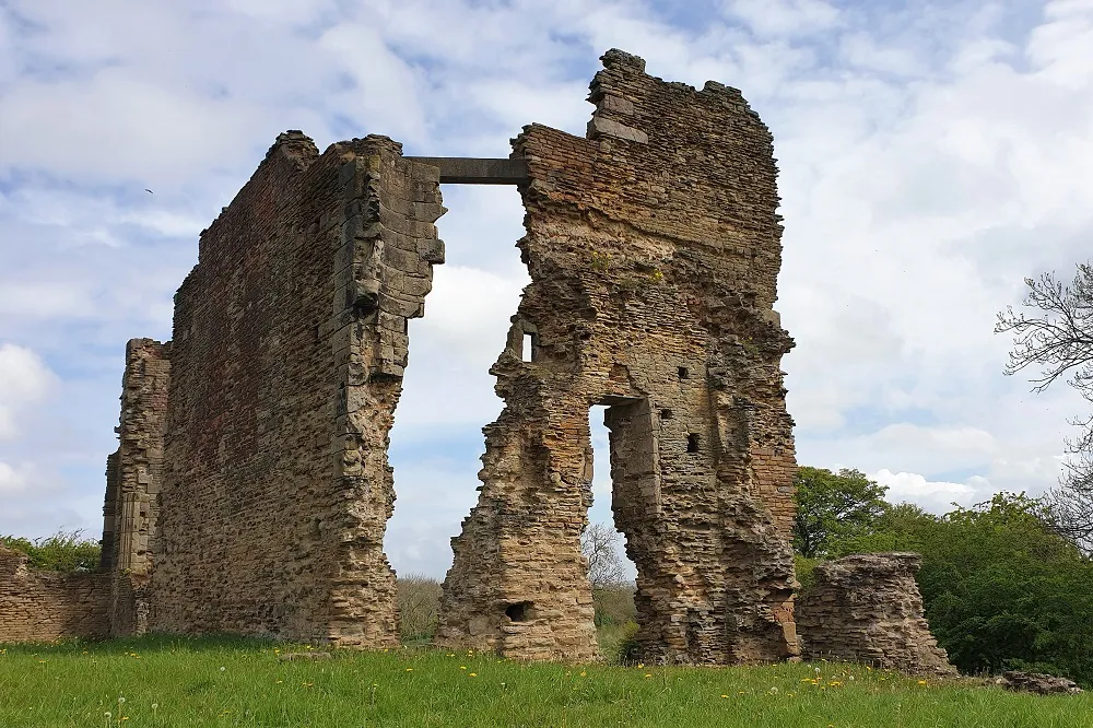 Codnor Castle Historische Stätte, Aldercar and Langley Mill14 km NW
-
Shelford Historische Stätte, Shelford and Newton12 km O
-
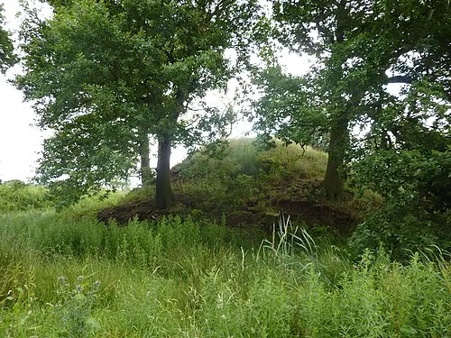 Motte south-west of Morley House Farm Historische Stätte, Morley15 km W
-
Donington Castle Historische Stätte, Castle Donington17 km SW
Nächstgelegene Städte und Dörfer
-
 Aspley Stadtteil, Nottingham0,8 km NW
-
Nottingham Stadt, Nottingham3,5 km SO
-
 Bulwell Dorf, Nottingham3,5 km N
-
Broxtowe Dorf, Nottingham1,6 km NW
Quellen & Lizenzen
Daten zuletzt aktualisiert: