Bedworth
Liegt in Nuneaton and Bedworth District, Warwickshire Koordinaten: 52°28′45″ N 1°28′09″ W
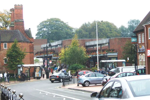
- Einwohner
- 31.090
- 31.090
- Höhe
- 112 m
- über dem Meeresspiegel
- Ortszeit
- UTC+00:00
- Europe/London · UTC+00:00
- Flughäfen
- BHX Birmingham Airport19 km
- EMA East Midlands Airport40 km
Über Bedworth
Bedworth ist eine Kleinstadt. Lage: Nuneaton and Bedworth District, Warwickshire. Einwohner: 31.090. Höhe: 112 m.
Bedworth ist eine Stadt im Distrikt Nuneaton and Bedworth in der Grafschaft Warwickshire, England. Die Stadt liegt zwischen Coventry und Nuneaton. 1991 betrug die Einwohnerzahl 32.555. Bedworth entwickelte sich als Industriestadt im 18. und 19. Jahrhundert infolge seiner Kohlenminen und der im nahen Coventry gelegenen Textilindustrie. Die letzte Zeche in Bedworth schloss 1994.
Quelle: Wikipedia · CC BY-SA 4.0
Fotos: Bedworth
-

Amanda Slater from Coventry, West Midlands, UK · CC BY-SA 2.0 -

Amanda Slater from Coventry, West Midlands, UK · CC BY-SA 2.0 -
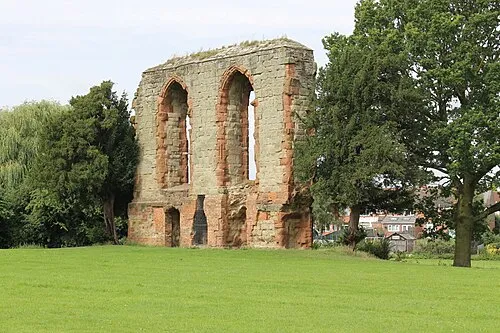
Caludon Castle Mum's taxi · CC BY-SA 3.0 -
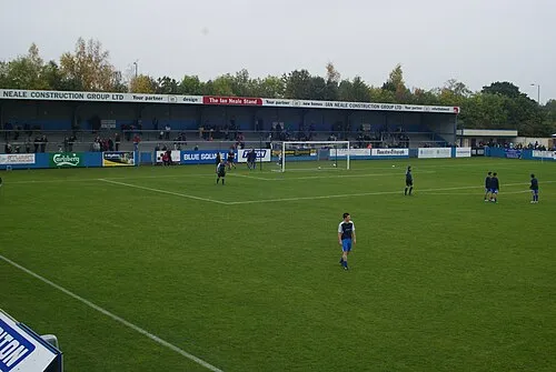
Liberty Way BruceyNBFC · CC BY-SA 3.0


Klima in Bedworth
Beste Monate für BesichtigungenBeste Monate für Besichtigungen: Juni–August.
Dieser Monat · November
Ein kalter Monat
Tag 10° · Nacht 3° · Regen 58 mm
- Wärmster Monat
- Juli (Tag 22°)
- Kältester Monat
- Februar (Nacht 1°)
- Nassester Monat
- Dezember (61 mm)
- Trockenster Monat
- Februar (43 mm)
Balken: mittlere Monatstiefst- und -höchsttemperatur. Darunter: Niederschlag. Monatsmittel 1970–2000 bei etwa 18 km Auflösung, höhenkorrigiert. Hervorgehobene Monate sind mild und relativ trocken. Quelle: WorldClim 2.1 (CC BY 4.0).
Werte als Tabelle anzeigen
| Monat | Jan | Feb | Mär | Apr | Mai | Jun | Jul | Aug | Sep | Okt | Nov | Dez |
|---|---|---|---|---|---|---|---|---|---|---|---|---|
| Mittleres Maximum (°C) | 7° | 7° | 10° | 12° | 16° | 19° | 22° | 21° | 18° | 14° | 10° | 7° |
| Mittleres Minimum (°C) | 1° | 1° | 2° | 3° | 6° | 9° | 11° | 11° | 9° | 6° | 3° | 2° |
| Niederschlag (mm) | 58 | 43 | 49 | 45 | 49 | 56 | 47 | 58 | 57 | 56 | 58 | 61 |
Anreise nach Bedworth
Nächster Flughafen ist Birmingham Airport (BHX), Luftlinie 19 km Richtung Westen. Nächste Großstadt ist Coventry, 9 km Richtung Süden.
Flughäfen
- Birmingham Airport (BHX) Birmingham, West Midlands 19 kmWesten
- East Midlands Airport (EMA) Nottingham, Leicestershire 40 kmNorden
- London Luton Airport (LTN) Luton, Luton 101 kmSüdosten
Großstädte in der Nähe
- Coventry Einwohner: 345.324 9 kmSüden
- Solihull Einwohner: 126.577 22 kmWesten
- Royal Sutton Coldfield Einwohner: 109.899 26 kmNordwesten
- Leicester Einwohner: 368.600 29 kmNordosten
- Birmingham Einwohner: 1,2 Mio. 29 kmWesten
Luftlinie; die Straßenentfernung ist länger. Flughafendaten: OurAirports.
Tagesausflüge ab Bedworth
Im Umkreis von 100 km: 724 historische und kulturelle Stätten, 851 Naturorte, 122 Seen, Flüsse und Küsten.
0–25 km98 Orte
- Crescent Wood Island Insel 17 kmW
- Lake See 17 kmSW
- Oldbury Hill Berg 10 kmNW
- South Hill Berg 22 kmN
25–60 km402 Orte
- Horninglow island Insel 38 kmN
- Glover's Island Insel 54 kmSW
- Barton Island Insel 50 kmN
- The Islands Insel 29 kmO
60–100 km1.197 Orte
- Alney Island Insel 87 kmSW
- Andersey Island Insel 92 kmS
- Newark Island Insel 79 kmNO
- Rose Isle Insel 86 kmS
Luftlinie.
Sehenswertes & Natur in der Nähe
Alles in der Nähe-
Liberty Way Wahrzeichen, Nuneaton and Bedworth District5 km N
-
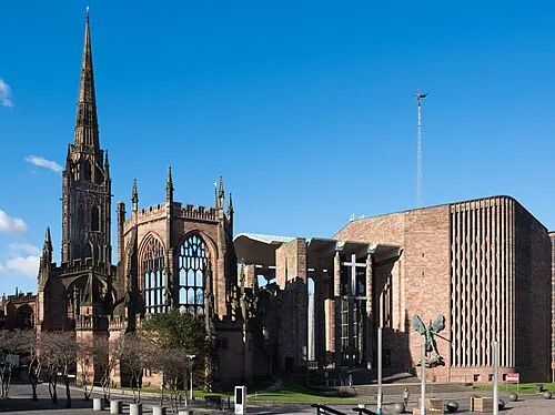 Coventry Cathedral Sehenswürdigkeit, Coventry8,3 km S
-
Caludon Castle Historische Stätte, Coventry6,9 km S
-
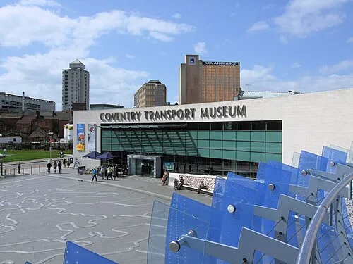 Coventry Transport Museum Museum, Coventry8,1 km S
-
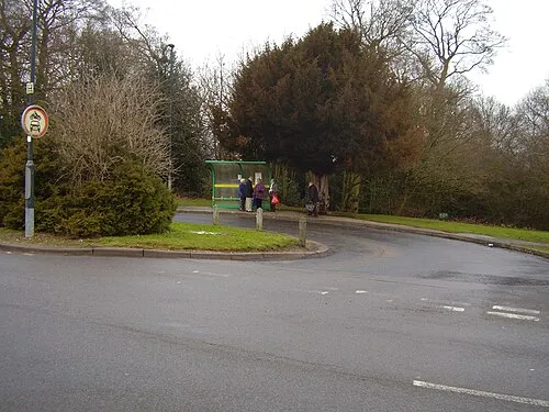 Allesley Castle Historische Stätte, Coventry9,3 km SW
-
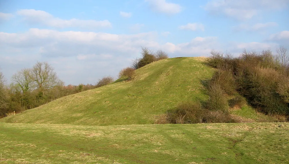 Brinklow Castle Historische Stätte, Brinklow11 km SO
-
Hinckley Castle Historische Stätte, Hinckley and Bosworth District9,6 km NO
-
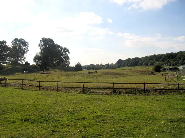 Brandon Castle Historische Stätte, Brandon and Bretford12 km S
Quellen & Lizenzen
Daten zuletzt aktualisiert: · 2 unabhängige Quellen