Northampton Castle
Liegt in Northampton, West Northamptonshire Koordinaten: 52°14′18″ N 0°54′19″ W
- Ortszeit
- UTC+00:00
- Europe/London · UTC+00:00
- Höhe
- 66 m
- über dem Meeresspiegel
- Flughäfen
- LTN London Luton Airport55 km
- BHX Birmingham Airport62 km
Über Northampton Castle
Northampton Castle ist eine historische Stätte. Lage: Northampton, West Northamptonshire.
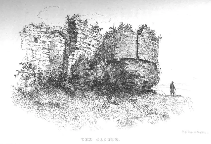
Northampton Castle war eine der bekanntesten normannischen Burgen in England. Sie wurde wahrscheinlich von Simon I. de Senlis, dem ersten Earl of Northampton, ab dem Jahr 1084 errichtet. Der Bau dauerte mehrere Jahre. Im Domesday Book von 1086 findet sie noch keine Erwähnung. Die Burganlage befand sich außerhalb des westlichen Stadttores und wurde auf drei Seiten von tiefen Gräben geschützt. Ein Zufluss der Nene bot eine natürliche Barriere auf der westlichen Seite.
Quelle: Wikipedia · CC BY-SA 4.0
Auf einen Blick
- Erbaut
- 1084
- Baustil
- Norman Style
- Schutzstatus
- scheduled ancient monument
Quelle: Wikidata
Fotos: Northampton Castle
-

Cj1340 · CC BY-SA 3.0 -

Geni · CC BY-SA 4.0


Klima in Northampton Castle
Beste Monate für BesichtigungenBeste Monate für Besichtigungen: Juni–August.
Dieser Monat · November
Ein kalter Monat
Tag 10° · Nacht 4° · Regen 55 mm
- Wärmster Monat
- Juli (Tag 22°)
- Kältester Monat
- Februar (Nacht 1°)
- Nassester Monat
- August (58 mm)
- Trockenster Monat
- Februar (38 mm)
Balken: mittlere Monatstiefst- und -höchsttemperatur. Darunter: Niederschlag. Monatsmittel 1970–2000 bei etwa 18 km Auflösung, höhenkorrigiert. Hervorgehobene Monate sind mild und relativ trocken. Quelle: WorldClim 2.1 (CC BY 4.0).
Werte als Tabelle anzeigen
| Monat | Jan | Feb | Mär | Apr | Mai | Jun | Jul | Aug | Sep | Okt | Nov | Dez |
|---|---|---|---|---|---|---|---|---|---|---|---|---|
| Mittleres Maximum (°C) | 7° | 7° | 10° | 12° | 16° | 19° | 22° | 22° | 18° | 14° | 10° | 8° |
| Mittleres Minimum (°C) | 1° | 1° | 3° | 4° | 7° | 10° | 12° | 12° | 10° | 7° | 4° | 2° |
| Niederschlag (mm) | 55 | 38 | 48 | 45 | 49 | 55 | 51 | 58 | 55 | 53 | 55 | 57 |
Anreise nach Northampton Castle
Nächster Flughafen ist London Luton Airport (LTN), Luftlinie 55 km Richtung Südosten. Nächste Großstadt ist Northampton, 2 km Richtung Nordosten.
Flughäfen
- London Luton Airport (LTN) Luton, Luton 55 kmSüdosten
- Birmingham Airport (BHX) Birmingham, West Midlands 62 kmNordwesten
- East Midlands Airport (EMA) Nottingham, Leicestershire 72 kmNordwesten
Großstädte in der Nähe
- Northampton Einwohner: 245.899 2 kmNordosten
- Milton Keynes Einwohner: 256.385 24 kmSüdosten
- Bedford Einwohner: 106.940 32 kmOsten
- Coventry Einwohner: 345.324 45 kmNordwesten
- Leicester Einwohner: 368.600 47 kmNorden
Luftlinie; die Straßenentfernung ist länger. Flughafendaten: OurAirports.
Tagesausflüge ab Northampton Castle
Im Umkreis von 100 km: 864 historische und kulturelle Stätten, 503 Naturorte, 246 Seen, Flüsse und Küsten.
0–25 km93 Orte
- Heron Island Insel 21 kmO
- Millholme Island Insel 20 kmO
- Monkey Island Insel 25 kmS
- Perch Islands Insel 24 kmO
25–60 km450 Orte
- Isle of Rhea Insel 58 kmSW
- Fiddler's Island Insel 59 kmSW
- Crescent Wood Island Insel 60 kmNW
- Apple Island Insel 28 kmO
60–100 km1.070 Orte
- White Hart Lane Wahrzeichen 91 kmSO
- The Lynch Insel 83 kmS
- Holm Island Insel 93 kmS
- Sunbury Court Insel 99 kmS
Luftlinie.
Sehenswertes & Natur in der Nähe
Alles in der Nähe-
Little Houghton Ringwork Historische Stätte, Little Houghton5,5 km O
-
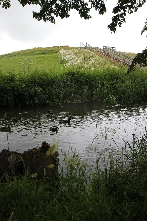 Bury Mount Historische Stätte, Towcester13 km SW
-
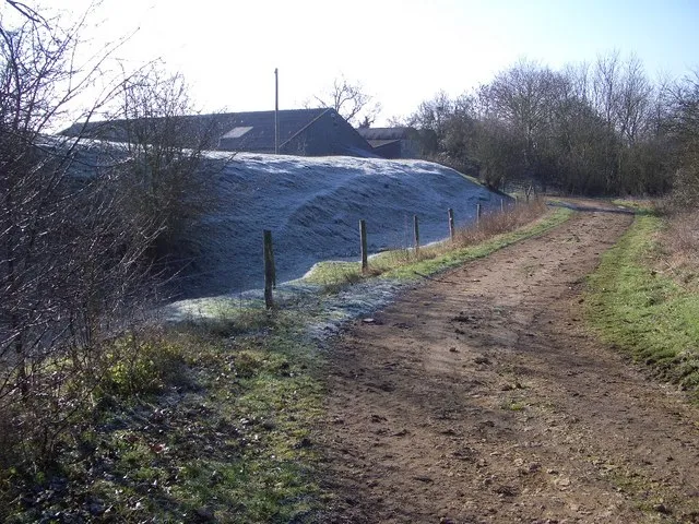 Lavendon Castle Historische Stätte, Lavendon18 km O
-
Moor End Castle Historische Stätte, Yardley Gobion16 km S
-
The Mount ringwork at Alderton Historische Stätte, Alderton14 km S
-
Farthingstone Castle Dykes Historische Stätte, Farthingstone14 km W
-
Weedon Lois Castle Mound Historische Stätte, Weston and Weedon20 km SW
-
Canons Ashby Castle Hill Historische Stätte, Canons Ashby20 km SW
Nächstgelegene Städte und Dörfer
-
Northampton Stadt, Northampton2 km NO
-
 Kingsthorpe Dorf, Northampton2,6 km N
Quellen & Lizenzen
Daten zuletzt aktualisiert: · 2 unabhängige Quellen