Stadtschlaining
Located in Oberwart District, Burgenland Coordinates: 47°19′22″ N 16°17′14″ E
- Population
- 1,988
- 2K
- Elevation
- 402 m
- above sea level
- Local time
- UTC+01:00
- Europe/Vienna · UTC+01:00
- Places inside
- 7
- listed under Stadtschlaining
About Stadtschlaining
Stadtschlaining is a municipality. Location: Oberwart District, Burgenland. Population: 1,988. Elevation: 402 m.
In comparison
- No. 7 of 32 places in Oberwart District by population
- Nearest larger town: Eisenzicken, 6 km S
- 12 sights and natural places within 10 km Kleine Plischa, Grosse Plischa
- Listed here: Village: 7
Places in Stadtschlaining
7 places-
Stadtschlaining Village668
-
Goberling Village422
-
Neumarkt im Tauchental Village384
-
Altschlaining Village272
-
Drumling Village234
-
Dornau Village
-
Schönau Village
Nearby attractions & nature
Everything nearby-
Kleine Plischa Mountain, Unterkohlstätten3.3 km NE
-
Grosse Plischa Mountain, Weiden bei Rechnitz5.2 km E
-
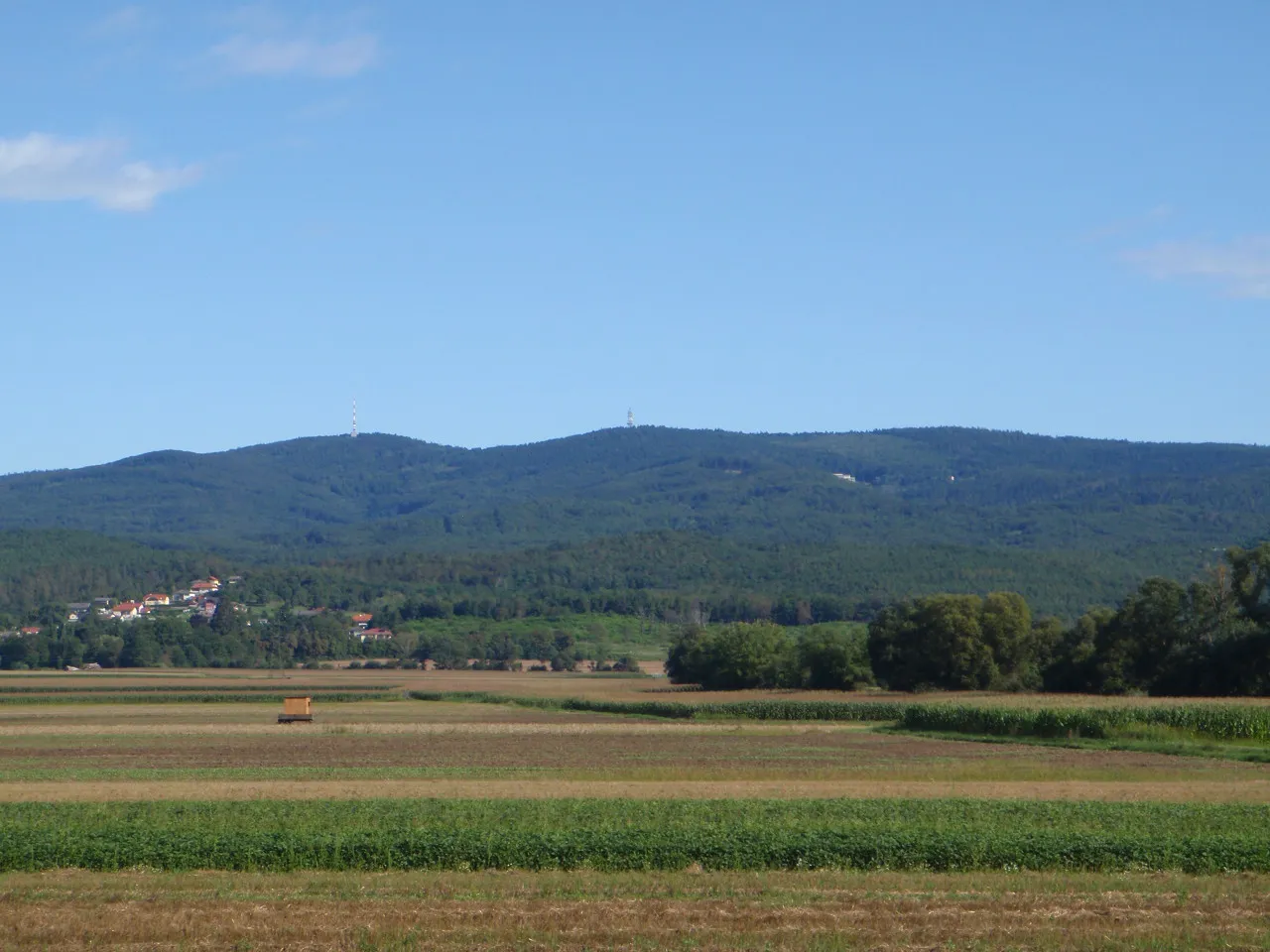 Großer Hirschenstein Mountain, Markt Neuhodis7.4 km E
-
Hirschenstein Mountain, Lockenhaus7.2 km NE
-
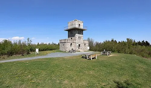 Írott-kő Mountain, Rechnitz12 km E
-
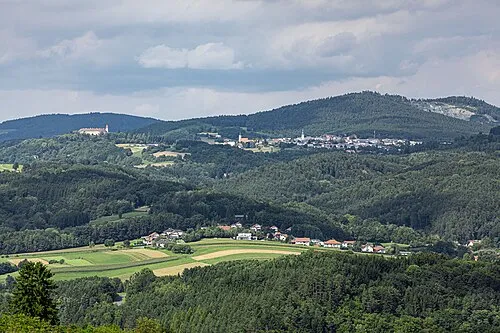 Bernsteiner Gebirge Mountain, Austria11 km N
-
ORF-Sender Hirschenstein Landmark, Markt Neuhodis7.4 km E
-
Zuberbach Mountain, Weiden bei Rechnitz7.8 km SE
Sources & licences
Data last updated: