Stadel Berg
Located in Burgenland, Austria Coordinates: 47°51′00″ N 16°02′00″ E
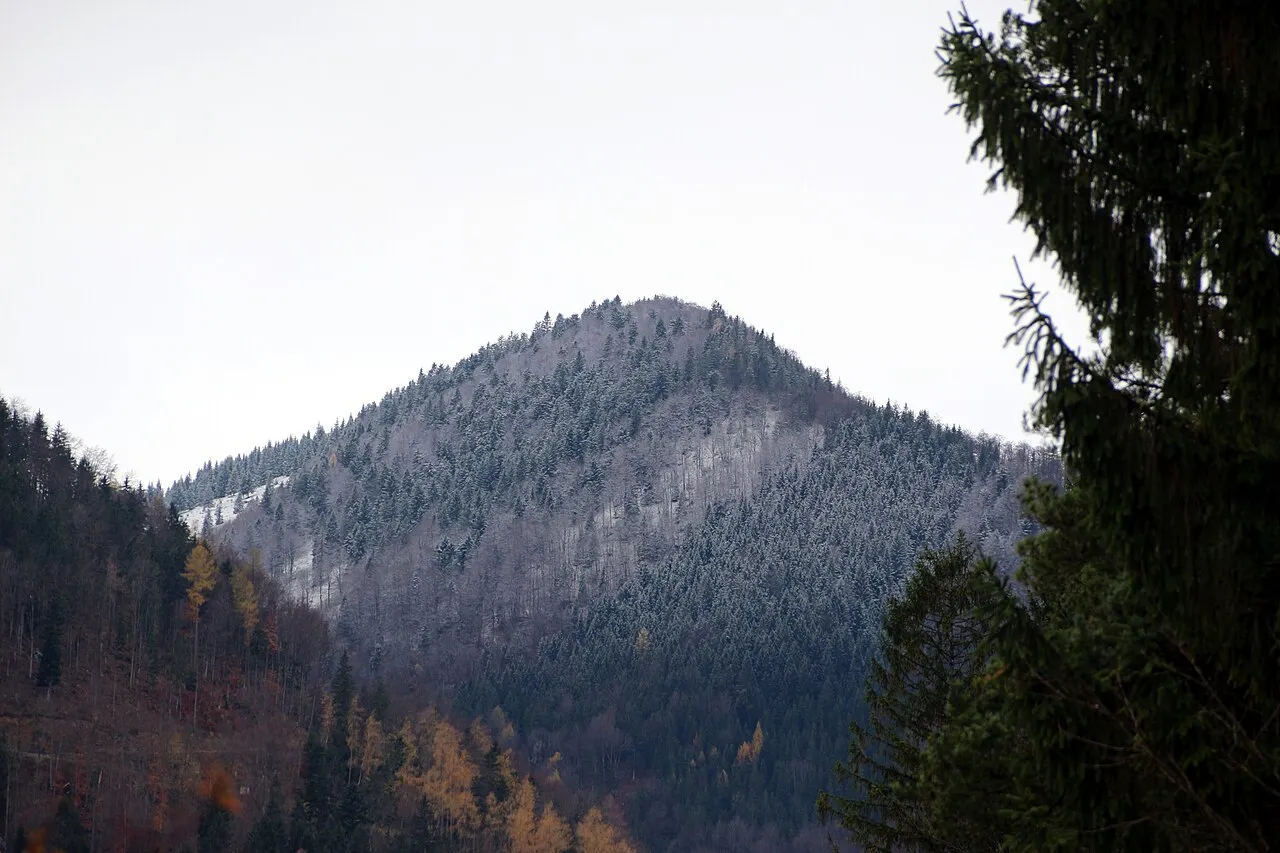
- Elevation
- 792 m
- above sea level
- Local time
- UTC+01:00
- Europe/Vienna · UTC+01:00
About Stadel Berg
Stadel Berg is a mountain. Location: Burgenland, Austria. Elevation: 792 m.
In comparison
- No. 6043 of 7537 mountains in Austria by elevation
- 24 sights and natural places within 10 km Vordere Wand, Naturpark Hohe Wand
Nearest towns and villages
Nearby attractions & nature
Everything nearby-
Vordere Wand Mountain, Markt Piesting1.8 km E
-
Naturpark Hohe Wand Natural site, Lower Austria1.8 km SE
-
Tierpark Streichelzoo Wildgehege Hohe Wand Natural site, Lower Austria2.1 km SW
-
Kressenberg Mountain, Waldegg2.2 km NW
-
Kleine Kanzel Mountain, Miesenbach2.8 km SW
-
Kleiner Plackles Mountain, Miesenbach3.6 km SW
-
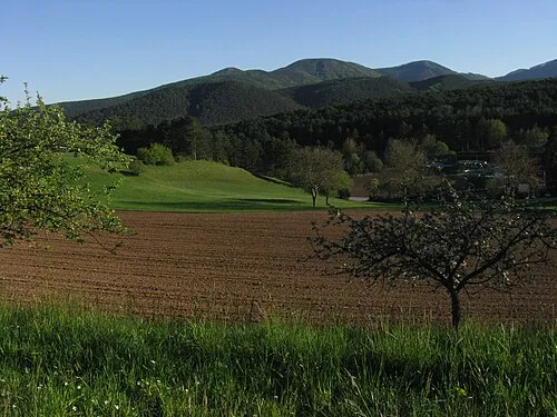 Rosenkogel Mountain, Hernstein5.6 km N
-
Plackles Mountain, Hohe Wand4.5 km SW
More nature in Austria
-
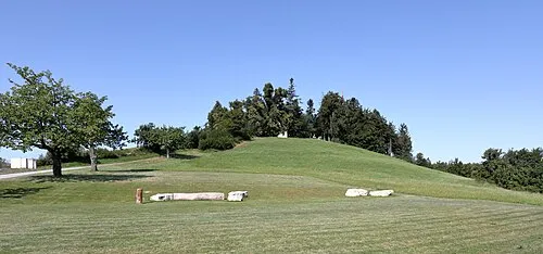 Heuberg Mountain, Forchtenstein27 km SE
-
Bihr Kogel Mountain, Wiesen24 km SE
-
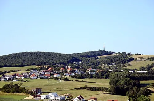 Brenntenriegel Mountain, Sieggraben34 km SE
-
Krieriegel Mountain, Wiesen24 km SE
-
Greimkogel Mountain, Mattersburg30 km SE
-
Reisnerkogel Mountain, Marz31 km SE
Sources & licences
Data last updated: · 2 independent sources