Gurktal Alps
Located in Carinthia, Austria Coordinates: 46°55′00″ N 14°00′00″ E
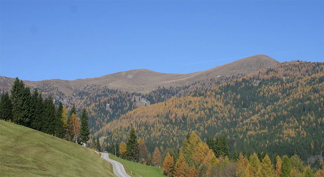
- Elevation
- 2,045 m
- above sea level
- Local time
- UTC+01:00
- Europe/Vienna · UTC+01:00
About Gurktal Alps
Gurktal Alps is a mountain. Location: Carinthia, Austria. Elevation: 2,045 m.
The Gurktal Alps (German: Gurktaler Alpen, Slovene: Krške Alpe) is a mountain range in the Central Eastern Alps in Austria which is named after the valley of the Gurk river. The range stretches west to Lake Millstatt and east to Neumarkter Sattel (north-northwest of Neumarkt in Steiermark). The highest peak is Eisenhut at 2,441m (8,009 ft).
Read more on Wikipedia Text: Wikipedia contributors · CC BY-SA 4.0 · shortened
In comparison
- No. 2841 of 7537 mountains in Austria by elevation
- 32 sights and natural places within 10 km Haidnerhöhe, Kaiser Kogel
Nearest towns and villages
Nearby attractions & nature
Everything nearby-
Haidnerhöhe Mountain, Deutsch-Griffen1.1 km W
-
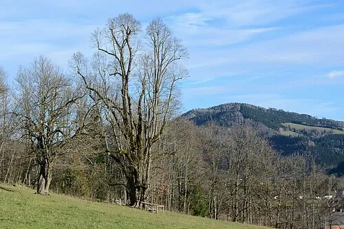 Kaiser Kogel Mountain, Upper Austria1.3 km E
-
Hirnkopf Mountain, Deutsch-Griffen1.7 km NE
-
Kuster Mountain, Glödnitz3.4 km NE
-
Beling Mountain, Deutsch-Griffen3.7 km S
-
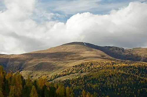 Großer Speikkofel Mountain, Albeck5.2 km SW
-
Schleichkogel Mountain, Deutsch-Griffen4.2 km SE
-
 Großer Speikkofel Mountain, Albeck5 km SW
Sources & licences
Data last updated: · 2 independent sources