Reisskofel
Located in Greifenburg, Spittal an der Drau District Coordinates: 46°41′13″ N 13°09′01″ E
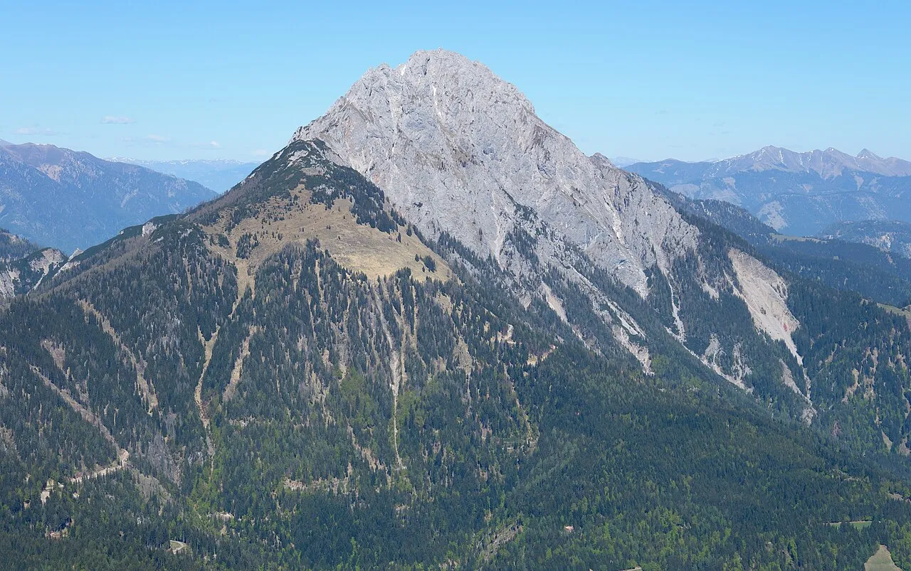
- Elevation
- 2,371 m
- above sea level
- Local time
- UTC+01:00
- Europe/Vienna · UTC+01:00
- Airports
- KLU Klagenfurt Airport91 km
- TRS Trieste Airport99 km
About Reisskofel
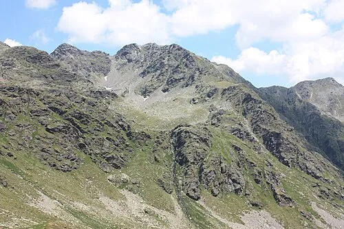
Reisskofel is a mountain. Location: Greifenburg, Spittal an der Drau District. Elevation: 2,371 m.
The Reißkofel is, at 2,371 metres above the Adriatic (7,779 ft), the highest mountain of the Gailtal Alps east of the Lienz Dolomites. It is situated in the centre of the Gailtal range, part of the Southern Limestone Alps, in the Austrian state of Carinthia. The steep massif is mainly composed of Corallian Limestone and Dolomite. It is a dominant peak, having a prominence of some 1,390 m (4,560 ft), as it is situated amongst much lower peaks.
Source: Wikipedia · CC BY-SA 4.0
At a glance
- Topographic prominence
- 1,390 m
Source: Wikidata
Photos of Reisskofel
-

Naturpuur · CC BY-SA 4.0 -

Muck · CC BY-SA 4.0 -

Rovan Klaus · CC BY-SA 3.0 at -

Mefusbren69 · Public domain -

Neithan90 · CC0


Climate of Reisskofel
This month · November
A wet month
Day -2° · Night -10° · Rain 117 mm
- Hottest month
- July (day 12°)
- Coldest month
- January (night -14°)
- Wettest month
- July (163 mm)
- Driest month
- February (62 mm)
Bars: average monthly low and high temperature. Below: precipitation. Monthly averages for 1970–2000 at about 18 km resolution, adjusted for elevation. Highlighted months are mild and relatively dry. Source: WorldClim 2.1 (CC BY 4.0).
Show values as a table
| Month | Jan | Feb | Mar | Apr | May | Jun | Jul | Aug | Sep | Oct | Nov | Dec |
|---|---|---|---|---|---|---|---|---|---|---|---|---|
| Average high (°C) | -6° | -5° | -2° | 1° | 7° | 10° | 12° | 12° | 9° | 4° | -2° | -6° |
| Average low (°C) | -14° | -14° | -11° | -8° | -3° | 0° | 3° | 2° | -1° | -5° | -10° | -13° |
| Precipitation (mm) | 69 | 62 | 86 | 109 | 129 | 155 | 163 | 147 | 132 | 129 | 117 | 85 |
How to get to Reisskofel
The nearest airport is Klagenfurt Airport (KLU), 91 km to the east as the crow flies. The nearest large city is Klagenfurt, 89 km to the east.
Airports
- Klagenfurt Airport (KLU) Klagenfurt am Wörthersee 91 kmeast
- Trieste Airport (TRS) Ronchi dei Legionari/Trieste 99 kmsouth
- Ljubljana Jože Pučnik Airport (LJU) Zgornji Brnik 113 kmsoutheast
Nearby large cities
- Klagenfurt Population: 100.3K 89 kmeast
- Salzburg Population: 157.2K 124 kmnorth
- Ljubljana Population: 272.2K 126 kmsoutheast
- Innsbruck Population: 132.5K 148 kmnorthwest
- Graz Population: 303.3K 180 kmeast
Straight-line distances; road distances are longer. Airport data: OurAirports.
Day trips from Reisskofel
Within 100 km: 173 historic and cultural sites, 3,224 natural sites, 691 lakes, rivers and coasts.
0–25 km201 places
- Wolayersee Lake 23 kmW
- Weissensee Lake 16 kmE
- Striedensee Lake 22 kmN
- Lake Pressegg Lake 23 kmE
25–60 km1,161 places
- Prestreljenik Mountain 44 kmSE
- Vršič Mountain 54 kmSE
- Planica Natural site 50 kmSE
- Sille River 56 kmW
60–100 km2,726 places
- Hoher Dachstein Mountain 94 kmN
- Lake Bohinj Lake 71 kmSE
- Lake Bled Lake 81 kmSE
- Triglav Mountain 63 kmSE
Straight-line distances.
Nearest towns and villages
-
Welzberg Village, Kirchbach2.6 km SW
-
Grafendorf Village, Kirchbach4.2 km SW
-
Kirchbach Municipality, Politischer Bezirk Hermagor5.7 km SE
-
Reisach Village, Kirchbach4.2 km S
-
Schmalzgrube Village, Kirchbach3.1 km SW
-
Lenzhof Village, Kirchbach3.3 km SW
Nearby attractions & nature
Everything nearby-
Sattelnock Mountain, Greifenburg3.2 km E
-
Hochwald Natural site, Carinthia4.2 km NE
-
Oberes Gailtal Natural site, Carinthia5.1 km S
-
Jauken Mountain, Carinthia5.3 km W
-
Torkofel Mountain, Dellach im Drautal5.5 km W
-
Kirchbachgraben Natural site, Carinthia6.5 km SE
-
Grafenwegerhöhe Mountain, Weißensee7.2 km NE
-
Hochwarter Höhe Mountain, Kirchbach6.3 km SE
More nature in Austria
-
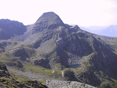 Hochtristen Mountain, Greifenburg13 km N
-
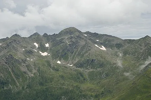 Grafische Tristen Mountain, Greifenburg14 km N
-
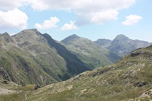 Plattachkopf Mountain, Greifenburg15 km N
-
 Rothorn Mountain, Greifenburg16 km N
-
Schanitzentörl Mountain, Greifenburg15 km N
-
Stawipfel Mountain, Greifenburg16 km N
Sources & licences
Data last updated: · 2 independent sources