Hocharn
Located in Heiligenblut, Spittal an der Drau District Coordinates: 47°04′34″ N 12°56′15″ E
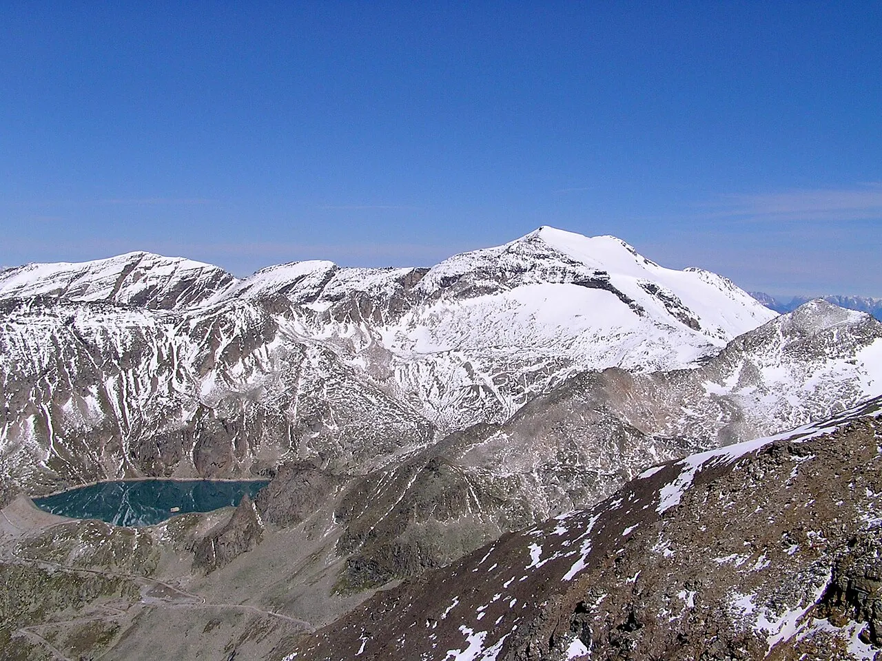
- Elevation
- 3,254 m
- above sea level
- Local time
- UTC+01:00
- Europe/Vienna · UTC+01:00
About Hocharn
Hocharn is a mountain. Location: Heiligenblut, Spittal an der Drau District. Elevation: 3,254 m.
Hocharn (3,254m) is the highest mountain of the Goldberg Group in the High Tauern range of the eastern Alps. It is located near the town of Bad Hofgastein and is situated in the Austrian state of Salzburg. The mountain has glaciers on its east, west and north sides. Climbs usually start from the Rauris valley. Although a demanding climb with about 1,700m of ascent, the climb is not technical. Another route starts at Heiligenblut.
Read more on Wikipedia Text: Wikipedia contributors · CC BY-SA 4.0 · shortened
At a glance
- Topographic prominence
- 678 m
Source: Wikidata
In comparison
- No. 125 of 7537 mountains in Austria by elevation
- 68 sights and natural places within 10 km Schwarzkopf, Krumlkeeskopf
Nearest towns and villages
-
Heiligenblut am Großglockner Village, Heiligenblut8.2 km SW
-
Rauris Municipality, Zell am See District8.2 km N
-
Apriach Village, Heiligenblut7.8 km SW
-
Schachnern Village, Heiligenblut7.8 km SW
-
Rojach Village, Heiligenblut8.5 km SW
-
Winkl Village, Heiligenblut9.6 km W
Nearby attractions & nature
Everything nearby-
Schwarzkopf Mountain, Rauris0.7 km NE
-
Krumlkeeskopf Mountain, Rauris1.7 km W
-
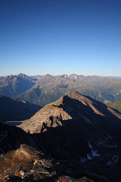 Gjaidtroghöhe Mountain, Heiligenblut2.5 km SW
-
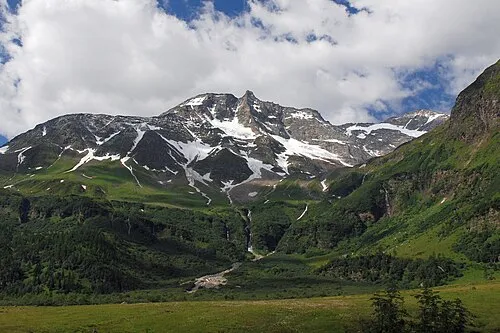 Hoher Sonnblick Mountain, Rauris2.9 km SE
-
Goldzechkopf Mountain, Rauris1.9 km S
-
Pilatusscharte Mountain, Heiligenblut2.4 km SE
-
Zirmsee Lake, Heiligenblut2.1 km SW
-
Ritterkar Natural site, Rauris2.6 km NE
More nature in Austria
-
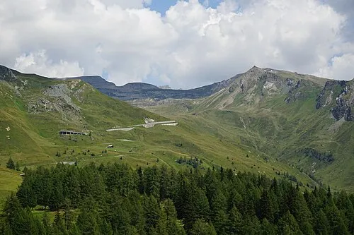 Schareck Mountain, Heiligenblut6.1 km W
-
Hinteres Modereck Mountain, Heiligenblut4.1 km W
-
Goldbergspitze Mountain, Heiligenblut3.2 km S
-
Roter Mann Mountain, Heiligenblut3.8 km S
-
Kleines Fleißtal Natural site, Heiligenblut4.9 km SW
-
Mönchsberg Mountain, Heiligenblut6.7 km SW
Sources & licences
Data last updated: · 2 independent sources