Grosser Woisgenkopf
Located in Mallnitz, Spittal an der Drau District Coordinates: 47°02′00″ N 13°09′00″ E
- Elevation
- 2,710 m
- above sea level
- Local time
- UTC+01:00
- Europe/Vienna · UTC+01:00
- Airports
- SZG Salzburg Airport85 km
- KLU Klagenfurt Airport100 km
About Grosser Woisgenkopf
Grosser Woisgenkopf is a mountain. Location: Mallnitz, Spittal an der Drau District. Elevation: 2,710 m. The nearest airport is Salzburg Airport (85 km). Nearby sights include Lisgele Spitze and Gamskarlspitze.
Photos of Grosser Woisgenkopf
-
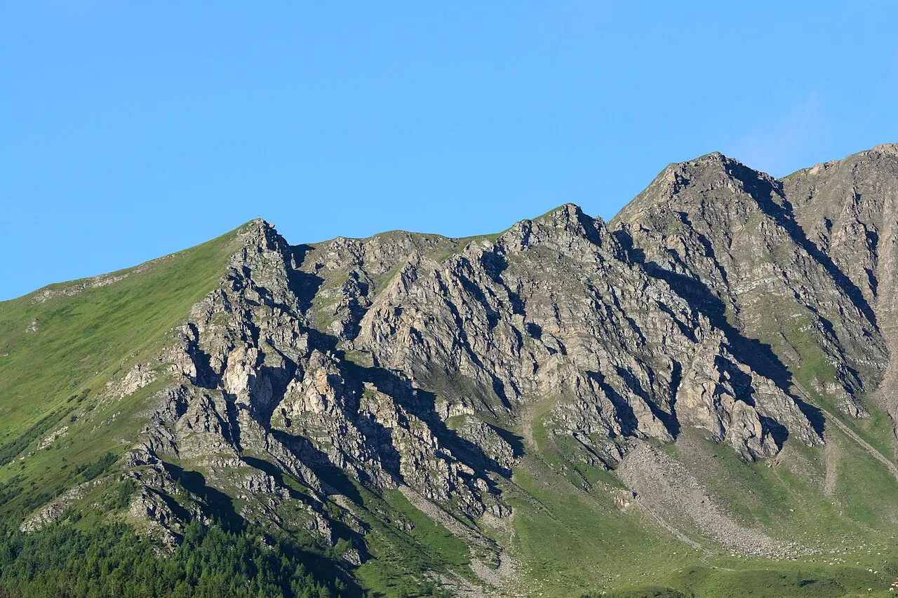
Törlkopf Uoaei1 · CC BY-SA 4.0 -
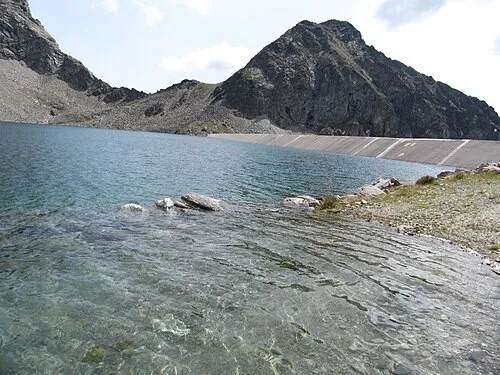
Schwanspitze Limnologus · CC BY-SA 4.0 -
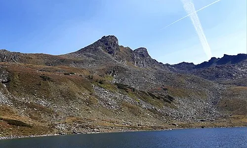
Palfnersee Kogel P.Tintoretto · CC BY 4.0 -
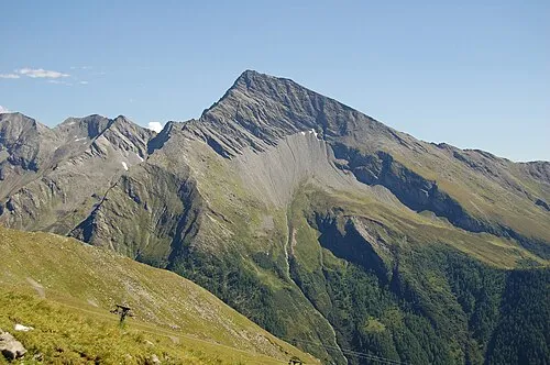
Maresenspitze Herzi Pinki · CC BY-SA 3.0 -
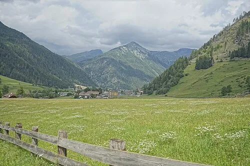
Lisgele Spitze PantheraLeo1359531 · CC BY-SA 4.0


Climate of Grosser Woisgenkopf
This month · November
A wet month
Day -4° · Night -11° · Rain 119 mm
- Hottest month
- July (day 9°)
- Coldest month
- February (night -15°)
- Wettest month
- July (183 mm)
- Driest month
- February (75 mm)
Bars: average monthly low and high temperature. Below: precipitation. Monthly averages for 1970–2000 at about 18 km resolution, adjusted for elevation. Highlighted months are mild and relatively dry. Source: WorldClim 2.1 (CC BY 4.0).
Show values as a table
| Month | Jan | Feb | Mar | Apr | May | Jun | Jul | Aug | Sep | Oct | Nov | Dec |
|---|---|---|---|---|---|---|---|---|---|---|---|---|
| Average high (°C) | -8° | -8° | -5° | -3° | 3° | 6° | 9° | 9° | 5° | 2° | -4° | -7° |
| Average low (°C) | -15° | -15° | -13° | -10° | -5° | -2° | 0° | 0° | -3° | -6° | -11° | -13° |
| Precipitation (mm) | 81 | 75 | 102 | 116 | 135 | 169 | 183 | 165 | 133 | 117 | 119 | 99 |
How to get to Grosser Woisgenkopf
The nearest airport is Salzburg Airport (SZG), 85 km to the north as the crow flies. The nearest large city is Salzburg, 86 km to the north.
Airports
- Salzburg Airport (SZG) Salzburg 85 kmnorth
- Klagenfurt Airport (KLU) Klagenfurt am Wörthersee 100 kmsoutheast
- Ljubljana Jože Pučnik Airport (LJU) Zgornji Brnik 135 kmsoutheast
Nearby large cities
- Salzburg Population: 157.2K 86 kmnorth
- Klagenfurt Population: 100.3K 99 kmsoutheast
- Innsbruck Population: 132.5K 136 kmwest
- Ljubljana Population: 272.2K 151 kmsoutheast
- Linz Population: 204.8K 165 kmnortheast
Straight-line distances; road distances are longer. Airport data: OurAirports.
Day trips from Grosser Woisgenkopf
Within 100 km: 250 historic and cultural sites, 4,050 natural sites, 1,004 lakes, rivers and coasts.
0–25 km343 places
- Brettersee Lake 25 kmW
- Zirmsee Lake 17 kmW
- Weisssee Lake 11 kmW
- Unterer Zwenberger See Lake 16 kmSE
25–60 km2,042 places
- Fürlegsee Lake 42 kmW
- Vorderer Langtalsee Lake 28 kmW
- Seeriessee Lake 58 kmNE
- Untersee Lake 49 kmNE
60–100 km2,919 places
- Hoher Dachstein Mountain 60 kmNE
- Lake Bohinj Lake 99 kmSE
- Triglav Mountain 90 kmSE
- Rjavina Mountain 91 kmSE
Straight-line distances.
Nearest towns and villages

Nearby attractions & nature
Everything nearby-
Lisgele Spitze Mountain, Mallnitz1.9 km S
-
Gamskarlspitze Mountain, Mallnitz1.3 km E
-
Rosskarkopf Mountain, Bad Gastein1.9 km N
-
Romatespitze Mountain, Mallnitz2 km W
-
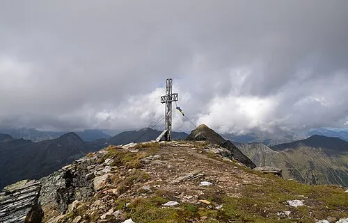 Kreuzkogel Mountain, Bad Gastein4.5 km NW
-
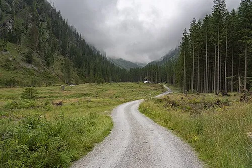 Anlauftal Natural site, State of Salzburg3.9 km N
-
Mallnitz Riegel Mountain, Bad Gastein3.1 km NW
-
Palfnersee Kogel Mountain, Bad Gastein5.7 km N
More nature in Austria
-
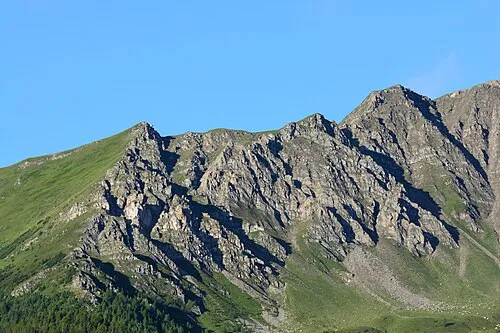 Törlkopf Mountain, Mallnitz6.1 km S
-
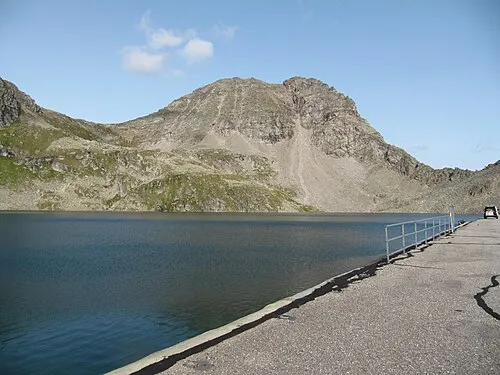 Böseck Mountain, Mallnitz6.4 km SW
-
Maresenspitze Mountain, Mallnitz6.5 km SE
-
Astromspitze Mountain, Mallnitz6.3 km SW
-
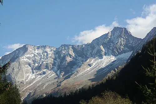 Säuleck Mountain, Mallnitz11 km E
-
Schafeleck Mountain, Mallnitz8.5 km SE
Sources & licences
Data last updated: · 2 independent sources