Wirnsberg
Located in Rennweg am Katschberg, Spittal an der Drau District Coordinates: 47°00′40″ N 13°36′19″ E
- Population
- 39
- 39
- Elevation
- 1,406 m
- above sea level
- Local time
- UTC+01:00
- Europe/Vienna · UTC+01:00
- Airports
- KLU Klagenfurt Airport69 km
- SZG Salzburg Airport98 km
About Wirnsberg
Wirnsberg is a village. Location: Rennweg am Katschberg, Spittal an der Drau District. Population: 39. Elevation: 1,406 m. The nearest airport is Klagenfurt Airport (69 km). Nearby sights include Laussnitzbach and Sabotin.
Photos of Wirnsberg
-
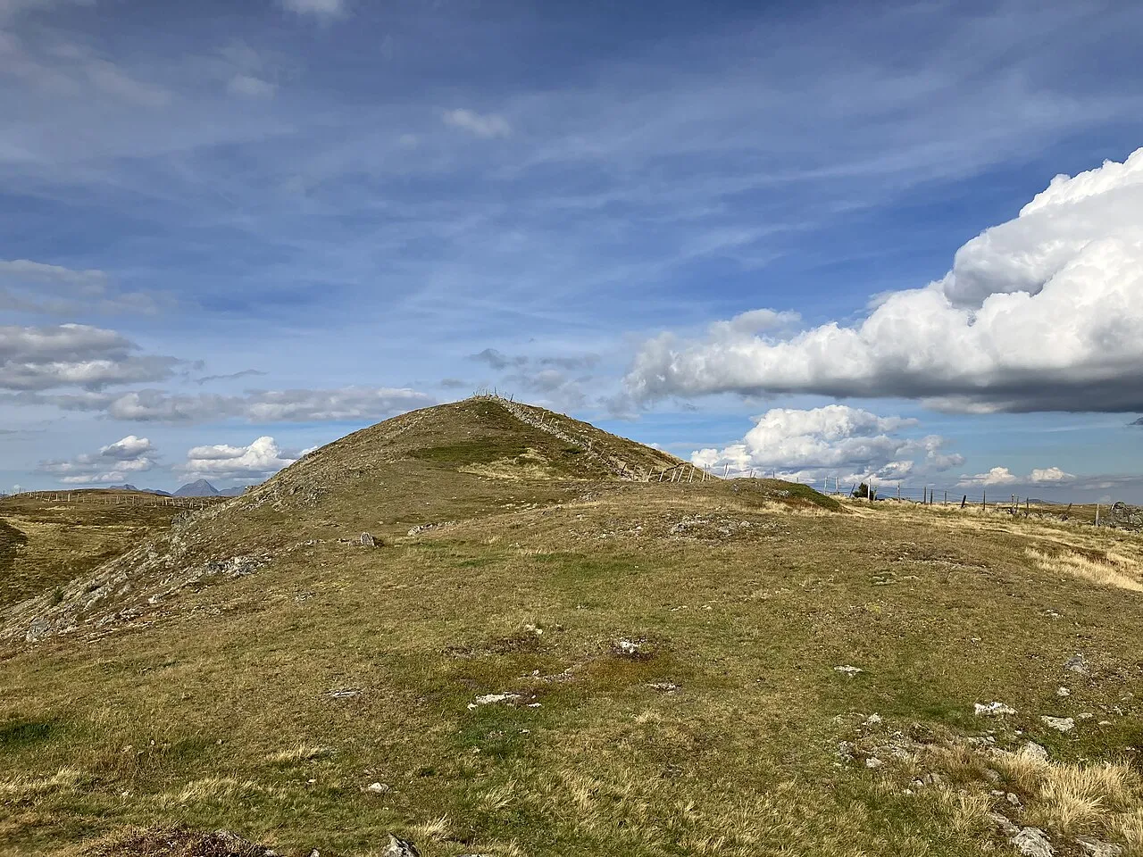
Theuerlnock Michael Burgholzer · CC BY-SA 4.0 -
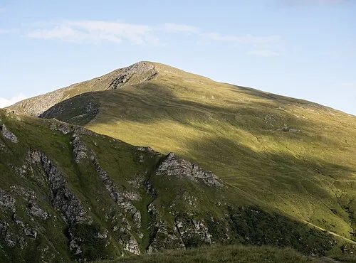
Stubeck Hermann Hammer · CC BY-SA 4.0 -
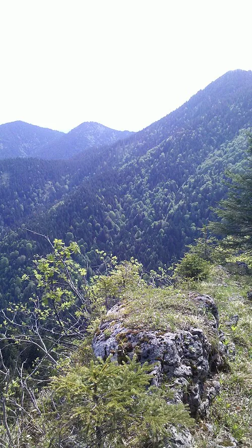
Schwarzwand Wasquewhat · CC BY-SA 4.0 -
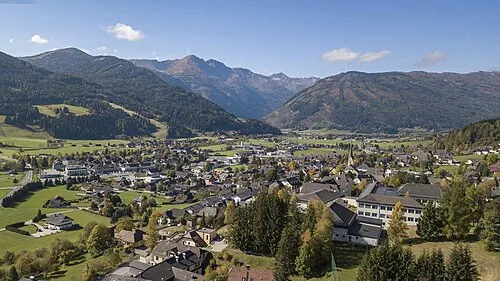
Kareck Arne Müseler · CC BY-SA 3.0 de -
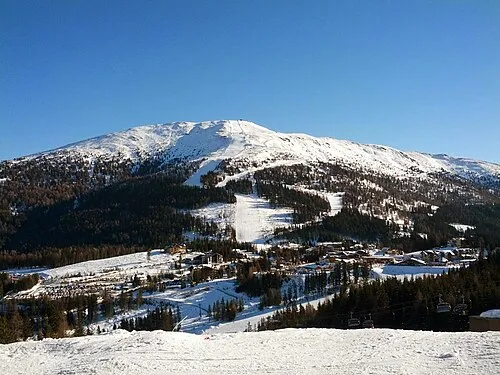
Aineck Gabriel Marchionni · CC BY-SA 3.0


Climate of Wirnsberg
This month · November
A wet month
Day 4° · Night -3° · Rain 126 mm
- Hottest month
- July (day 17°)
- Coldest month
- February (night -8°)
- Wettest month
- July (190 mm)
- Driest month
- February (74 mm)
Bars: average monthly low and high temperature. Below: precipitation. Monthly averages for 1970–2000 at about 18 km resolution, adjusted for elevation. Highlighted months are mild and relatively dry. Source: WorldClim 2.1 (CC BY 4.0).
Show values as a table
| Month | Jan | Feb | Mar | Apr | May | Jun | Jul | Aug | Sep | Oct | Nov | Dec |
|---|---|---|---|---|---|---|---|---|---|---|---|---|
| Average high (°C) | 0° | 1° | 3° | 6° | 12° | 15° | 17° | 17° | 14° | 10° | 4° | 1° |
| Average low (°C) | -7° | -8° | -5° | -2° | 2° | 6° | 8° | 8° | 5° | 1° | -3° | -6° |
| Precipitation (mm) | 81 | 74 | 103 | 122 | 137 | 180 | 190 | 167 | 145 | 126 | 126 | 104 |
How to get to Wirnsberg
The nearest airport is Klagenfurt Airport (KLU), 69 km to the southeast as the crow flies. The nearest large city is Klagenfurt, 69 km to the southeast.
Airports
- Klagenfurt Airport (KLU) Klagenfurt am Wörthersee 69 kmsoutheast
- Salzburg Airport (SZG) Salzburg 98 kmnorthwest
- Ljubljana Jože Pučnik Airport (LJU) Zgornji Brnik 109 kmsoutheast
Nearby large cities
- Klagenfurt Population: 100.3K 69 kmsoutheast
- Salzburg Population: 157.2K 97 kmnorthwest
- Ljubljana Population: 272.2K 127 kmsoutheast
- Graz Population: 303.3K 140 kmeast
- Linz Population: 204.8K 153 kmnorth
Straight-line distances; road distances are longer. Airport data: OurAirports.
Day trips from Wirnsberg
Within 100 km: 311 historic and cultural sites, 3,841 natural sites, 1,103 lakes, rivers and coasts.
0–25 km273 places
- Unterer Zwenberger See Lake 24 kmW
- Unterer Schwarzsee Lake 22 kmNW
- Unterer Schönalmsee Lake 25 kmN
- Rotgüldensee Lake 18 kmNW
25–60 km1,566 places
- Hoher Dachstein Mountain 52 kmN
- Seeriessee Lake 39 kmN
- Untersee Lake 38 kmN
- Wildsee Lake 27 kmN
60–100 km3,416 places
- Lake Bohinj Lake 83 kmS
- Lake Bled Lake 81 kmSE
- Triglav Mountain 73 kmS
- Rjavina Mountain 72 kmS
Straight-line distances.
Nearby attractions & nature
Everything nearby-
Laussnitzbach River, Carinthia1.1 km NE
-
Sabotin Mountain, Rennweg am Katschberg3.4 km SE
-
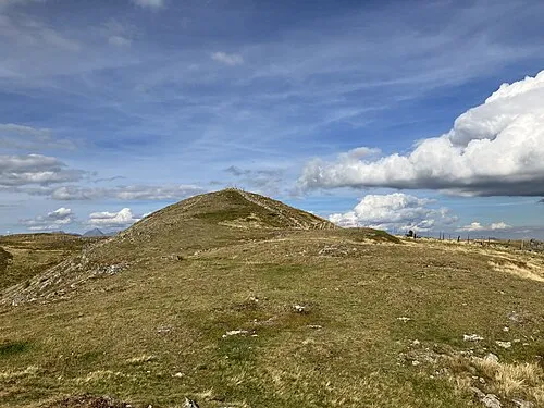 Theuerlnock Mountain, Rennweg am Katschberg4.6 km NE
-
Katschtal Natural site, Carinthia2.9 km SE
-
Wolfs Bach River, Carinthia2.5 km N
-
Sternspitze Mountain, Rennweg am Katschberg4.9 km NW
Sources & licences
Data last updated: