Möschacher Wipfel
Located in Weißensee, Spittal an der Drau District Coordinates: 46°40′00″ N 13°24′00″ E
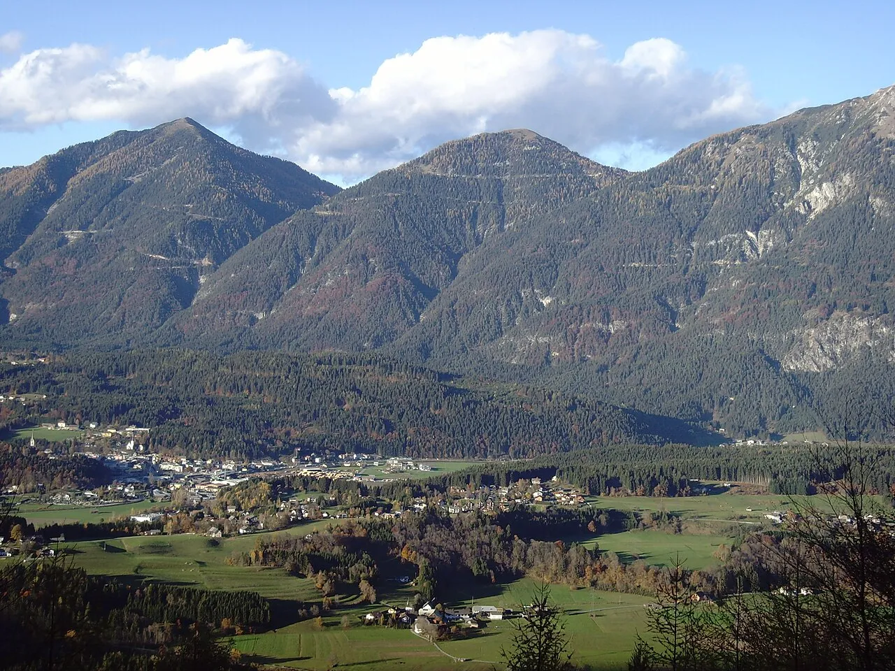
- Elevation
- 1,547 m
- above sea level
- Local time
- UTC+01:00
- Europe/Vienna · UTC+01:00
- Airports
- KLU Klagenfurt Airport72 km
- TRS Trieste Airport93 km
About Möschacher Wipfel
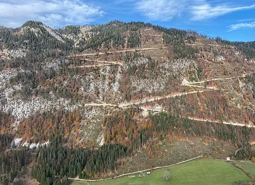
Möschacher Wipfel is a mountain. Location: Weißensee, Spittal an der Drau District. Elevation: 1,547 m. The nearest airport is Klagenfurt Airport (72 km). Nearby sights include Spitzegel and Laka.
Photos of Möschacher Wipfel
-
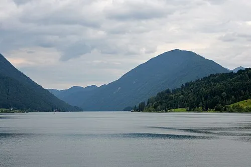
Laka Johann Jaritz · CC BY-SA 3.0 at -
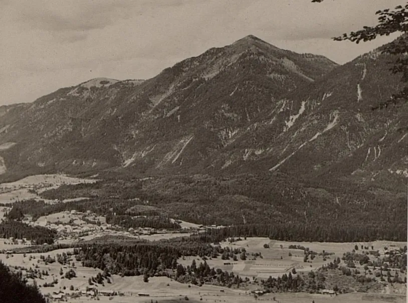
Golz K.u.k. Kriegspressequartier, Lichtbildstelle - Wien · Public domain -
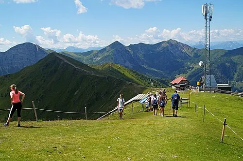
Eckwand TheRunnerUp · CC BY-SA 4.0


Climate of Möschacher Wipfel
This month · November
A wet month
Day 2° · Night -6° · Rain 124 mm
- Hottest month
- July (day 18°)
- Coldest month
- January (night -10°)
- Wettest month
- July (164 mm)
- Driest month
- February (61 mm)
Bars: average monthly low and high temperature. Below: precipitation. Monthly averages for 1970–2000 at about 18 km resolution, adjusted for elevation. Highlighted months are mild and relatively dry. Source: WorldClim 2.1 (CC BY 4.0).
Show values as a table
| Month | Jan | Feb | Mar | Apr | May | Jun | Jul | Aug | Sep | Oct | Nov | Dec |
|---|---|---|---|---|---|---|---|---|---|---|---|---|
| Average high (°C) | -2° | 0° | 3° | 7° | 12° | 15° | 18° | 17° | 14° | 9° | 2° | -2° |
| Average low (°C) | -10° | -9° | -6° | -3° | 2° | 5° | 7° | 7° | 4° | -1° | -6° | -9° |
| Precipitation (mm) | 71 | 61 | 85 | 111 | 131 | 161 | 164 | 147 | 141 | 136 | 124 | 90 |
How to get to Möschacher Wipfel
The nearest airport is Klagenfurt Airport (KLU), 72 km to the east as the crow flies. The nearest large city is Klagenfurt, 69 km to the east.
Airports
- Klagenfurt Airport (KLU) Klagenfurt am Wörthersee 72 kmeast
- Trieste Airport (TRS) Ronchi dei Legionari/Trieste 93 kmsouth
- Ljubljana Jože Pučnik Airport (LJU) Zgornji Brnik 95 kmsoutheast
Nearby large cities
- Klagenfurt Population: 100.3K 69 kmeast
- Ljubljana Population: 272.2K 109 kmsoutheast
- Salzburg Population: 157.2K 129 kmnorth
- Graz Population: 303.3K 162 kmeast
- Innsbruck Population: 132.5K 166 kmnorthwest
Straight-line distances; road distances are longer. Airport data: OurAirports.
Day trips from Möschacher Wipfel
Within 100 km: 201 historic and cultural sites, 2,913 natural sites, 731 lakes, rivers and coasts.
0–25 km186 places
- Weissensee Lake 6 kmNW
- Lake Pressegg Lake 6 kmSE
- Millstätter See Lake 20 kmNE
- Farchtensee Lake 5 kmE
25–60 km940 places
- Lake Bohinj Lake 55 kmSE
- Triglav Mountain 46 kmSE
- Rjavina Mountain 48 kmSE
- Prestreljenik Mountain 34 kmS
60–100 km2,719 places
- Hoher Dachstein Mountain 91 kmN
- Lake Bled Lake 63 kmSE
- Porezen Mountain 70 kmSE
- Mrzla Gora Mountain 97 kmE
Straight-line distances.
Nearest towns and villages
-
Obervellach Village, Hermagor-Pressegger See3.7 km S
-
Khünburg Village, Hermagor-Pressegger See3.8 km S
-
Hermagor City, Hermagor-Pressegger See5.1 km SW
-
Fritzendorf Village, Hermagor-Pressegger See3.7 km S
-
Radnig Village, Hermagor-Pressegger See4.2 km SW
-
Kühweg Village, Hermagor-Pressegger See4.5 km SW
Nearby attractions & nature
Everything nearby-
Spitzegel Mountain, Weißensee1.4 km SE
-
Laka Mountain, Weißensee2.5 km N
-
Golz Mountain, Hermagor-Pressegger See2.5 km W
-
Peloschen Mountain, Weißensee5.6 km N
-
Großboden Mountain, Gitschtal4.8 km W
-
Graslitzen Mountain, St. Stefan im Gailtal5.7 km E
-
Zlannock Mountain, Stockenboi5.3 km NE
-
Eckwand Mountain, Kleblach-Lind7.5 km N
More nature in Austria
-
 Mittagsnock Mountain, Weißensee9.7 km NW
-
Hochtraten Mountain, Weißensee11 km NW
-
Grafenwegerhöhe Mountain, Weißensee14 km NW
Sources & licences
Data last updated: · 2 independent sources