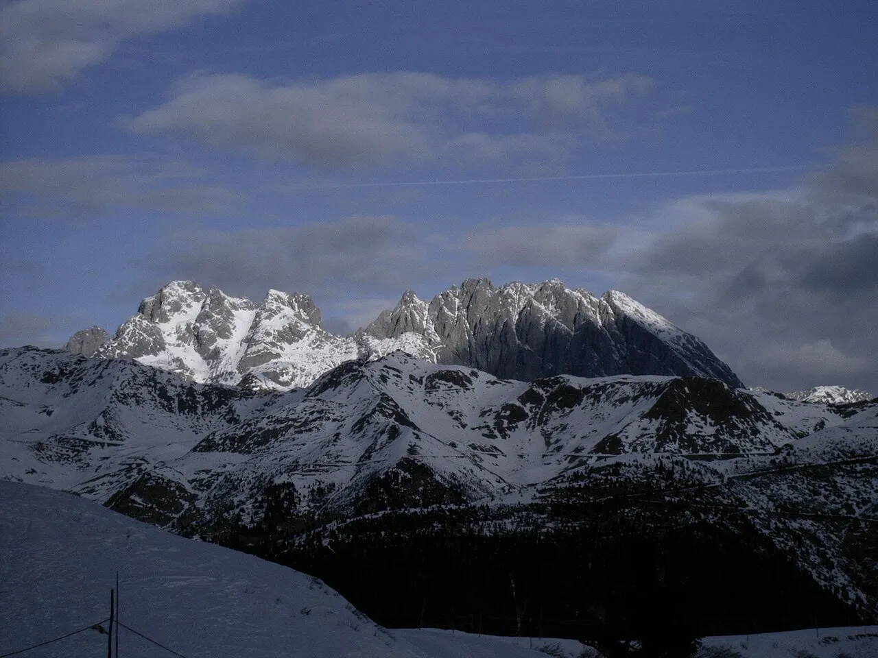
Creta della Cianevate
Located in Austria Coordinates: 46°36′35″ N 12°54′01″ E
- Elevation
- 2,657 m
- above sea level
- Local time
- UTC+01:00
- Europe/Vienna · UTC+01:00
About Creta della Cianevate
Creta della Cianevate is a mountain. Location: Austria. Elevation: 2,657 m.
The twin peaks of the Kellerspitzen (Italian: Creta delle Chianevate) form the second highest mountain (2,774 m (AA)) in the Carnic Alps, a mountain range in the Southern Limestone Alps within both Austria and Italy. The two summits rise in the middle of the east-west oriented Kellerwandgrat, an arête that forms the main chain of the Carnic Alps here. The border between the Austrian state of Carinthia and the Italian Province of Udine runs along this ridge.
Read more on Wikipedia Text: Wikipedia contributors · CC BY-SA 4.0 · shortened
In comparison
- No. 935 of 7537 mountains in Austria by elevation
- 35 sights and natural places within 10 km Eiskar, Pic Chiadin
Nearest towns and villages
Nearby attractions & nature
Everything nearby-
Eiskar Natural site, Carinthia0.8 km N
-
Rauchkofel Mountain, Lesachtal1.7 km NW
-
Pic Chiadin Mountain, Paluzza1.4 km S
-
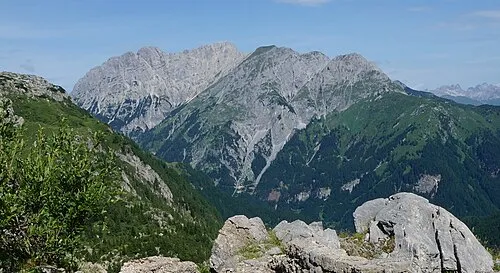 Gamskofel Mountain, Kötschach-Mauthen2.4 km N
-
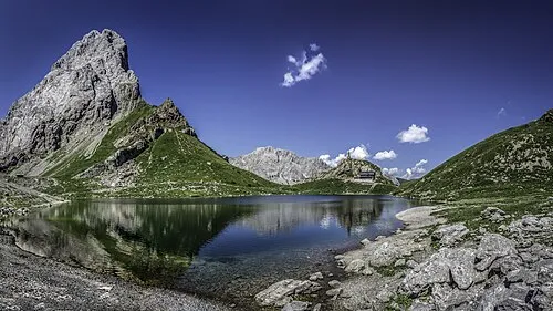 Seekopf Mountain, Lesachtal2.7 km W
-
 Hinterer Mooskofel Mountain, Kötschach-Mauthen2.8 km N
-
Mahderkopf Mountain, Lesachtal2.7 km W
-
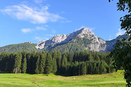 Plenge Mountain, Lesachtal5 km N
More nature in Austria
-
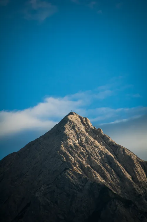 Polinik Mountain, Kötschach-Mauthen6.6 km E
-
Wadecken Mountain, Lesachtal4.7 km NW
-
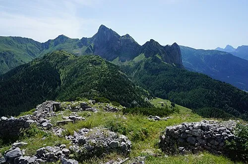 Großer Pal Mountain, Styria6.5 km E
-
Säbelspitz Mountain, Lesachtal5.8 km NW
-
Mauthner Alpe Mountain, Kötschach-Mauthen5.9 km NE
-
Stallonkofel Mountain, Lesachtal6.1 km NW
Sources & licences
Data last updated: · 2 independent sources