St. Valentin
Located in Politischer Bezirk Amstetten, Lower Austria Coordinates: 48°10′11″ N 14°32′08″ E
- Population
- 9,319
- 9.3K
- Elevation
- 265 m
- above sea level
- Local time
- UTC+01:00
- Europe/Vienna · UTC+01:00
- Places inside
- 20
- listed under St. Valentin
About St. Valentin
St. Valentin is a municipality. Location: Politischer Bezirk Amstetten, Lower Austria. Population: 9,319. Elevation: 265 m.
In comparison
- No. 2 of 34 places in Politischer Bezirk Amstetten by population
- Nearest larger town: Sankt Valentin, 1 km W
- 8 sights and natural places within 10 km St. Valentin Concentration Camp, Erlabach
- Listed here: Neighbourhood: 10, Village: 8, Historic site: 1, Town: 1
Places in St. Valentin
20 places-
Sankt Valentin Town9.3K
-
Aichberg Village
-
Altenhofen Neighbourhood
-
Dollberg Neighbourhood
-
Gaibling Neighbourhood
-
Gollnsdorf Village
-
Gutenhofen Neighbourhood
-
Kirchdorf Village
-
Kötting Neighbourhood
-
Laach Village
-
Langenhart Neighbourhood
-
Pesendorf Village
-
Radt Village
-
Rems Neighbourhood
-
Ströbitz Neighbourhood
-
St. Valentin Concentration Camp Historic site
-
Thurnsdorf Neighbourhood
-
Viehdorf Village
-
Walling Neighbourhood
-
Windberg Village
Nearby attractions & nature
Everything nearby-
Basilika St. Laurentius Attraction, Enns7.5 km NW
-
Erlabach River, Lower Austria6.9 km NE
-
Rabenberg Mountain, Enns8.3 km NW
-
Der Kirchhof zu Mauthausen. Historic site, Mauthausen8.1 km N
-
Enns River, Austria7.6 km N
-
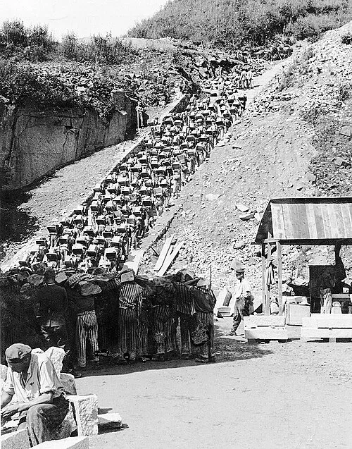 Mauthausen Concentration Camp Historic site, Mauthausen10 km N
-
Rosenberg Mountain, Hargelsberg9.7 km SW
-
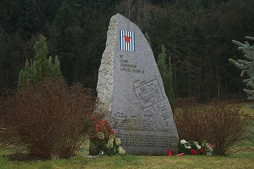 Gusen I Concentration Camp Historic site, Langenstein11 km NW
Sources & licences
Data last updated: