Aggsbach
Located in Politischer Bezirk Krems, Lower Austria Coordinates: 48°17′50″ N 15°24′07″ E
- Population
- 639
- 639
- Elevation
- 226 m
- above sea level
- Local time
- UTC+01:00
- Europe/Vienna · UTC+01:00
- Places inside
- 4
- listed under Aggsbach
About Aggsbach
Aggsbach is a municipality. Location: Politischer Bezirk Krems, Lower Austria. Population: 639. Elevation: 226 m.
In comparison
- No. 30 of 30 places in Politischer Bezirk Krems by population
- Nearest larger town: Schönbühel-Aggsbach, 2 km S
- 17 sights and natural places within 10 km Hohenwartberg, Ruine Aggstein
- Listed here: Village: 4
Places in Aggsbach
4 places-
Aggsbach Village391
-
Willendorf in der Wachau Village153
-
Groisbach Village74
-
Köfering Village25
Nearby attractions & nature
Everything nearby-
Hohenwartberg Mountain, Schönbühel-Aggsbach1.9 km SE
-
Ruine Aggstein Historic site, Schönbühel-Aggsbach2.3 km NE
-
Unterer Gansbach River, Austria4.8 km E
-
Sendeturm Jauerling Landmark, Maria Laach am Jauerling6.3 km NW
-
Tyregg Mountain, Mühldorf7.8 km NW
-
Jauerling Gipfelkreuz Mountain, Maria Laach am Jauerling6.7 km NW
-
Mühlberg Mountain, Rossatz-Arnsdorf6.9 km NE
-
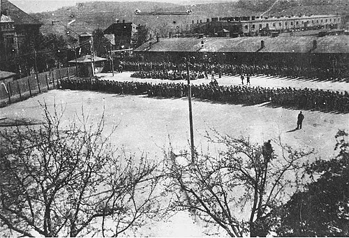 Melk Concentration Camp Historic site, Melk8.8 km SW
Sources & licences
Data last updated: