Thallern
Located in Gumpoldskirchen, Politischer Bezirk Mödling Coordinates: 48°03′09″ N 16°17′32″ E
- Elevation
- 218 m
- above sea level
- Local time
- UTC+01:00
- Europe/Vienna · UTC+01:00
About Thallern
Thallern is a village. Location: Gumpoldskirchen, Politischer Bezirk Mödling. Elevation: 218 m.
In comparison
- Nearest larger town: Gumpoldskirchen, 1 km SW
- 124 sights and natural places within 10 km Eichkogel, Naturschutzgebiet Eichkogel
Airports nearest to Thallern
- Vienna International Airport (VIE) Vienna 22 km
- M. R. Štefánik Airport (BTS) Bratislava 70 km
- Brno-Tuřany Airport (BRQ) Brno 126 km
Straight-line distance; airports with scheduled flights only. Source: OurAirports (public domain).
Nearby attractions & nature
Everything nearby-
Harlehner Brunnen Natural site, Lower Austria1.9 km W
-
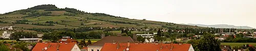 Eichkogel Mountain, Guntramsdorf1.1 km N
-
Beital Natural site, Lower Austria2.9 km W
-
Naturschutzgebiet Eichkogel Natural site, Lower Austria1.1 km N
-
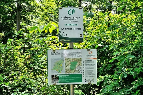 Tieftal Natural site, Lower Austria3.7 km W
-
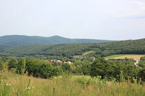 Buchkogel Mountain, Gaaden4.3 km W
Sources & licences
Data last updated: