Hinterbrühl
Located in Politischer Bezirk Mödling, Lower Austria Coordinates: 48°04′52″ N 16°12′59″ E
- Population
- 4,039
- 4K
- Elevation
- 306 m
- above sea level
- Local time
- UTC+01:00
- Europe/Vienna · UTC+01:00
- Places inside
- 19
- listed under Hinterbrühl
About Hinterbrühl
Hinterbrühl is a municipality. Location: Politischer Bezirk Mödling, Lower Austria. Population: 4,039. Elevation: 306 m.
In comparison
- No. 8 of 19 places in Politischer Bezirk Mödling by population
- Nearest larger town: Mödling, 5 km E
- 184 sights and natural places within 10 km Mödlinger Kirchwald, Weißenbach
- Listed here: Mountain: 9, Village: 4, Historic site: 3, Neighbourhood: 2
Places in Hinterbrühl
19 places-
Hinterbrühl Village3.5K
-
Weissenbach bei Mödling Village284
-
Sparbach Village256
-
Wassergspreng Village23
-
Brenntenberg Mountain
-
Eichkogel Mountain
-
Einödenberg Mountain
-
Galgenbühel Mountain
-
Hubertuskapelle Attraction
-
Kleiner Anninger Mountain
-
Ruine Dianatempel Historic site
-
Ruine Johannstein Historic site
-
Ruine Köhlerhütte Historic site
-
Schanzkogel Mountain
-
Schwarzkogel Mountain
-
Schweinzerberg Mountain
-
Seegrotte Neighbourhood
-
SOS-Kinderdorf Hinterbrühl Neighbourhood
-
Vorderer Otter Mountain
Nearby attractions & nature
Everything nearby-
Mödlinger Kirchwald Natural site, Lower Austria0.6 km W
-
Weißenbach River, Lower Austria0.8 km SE
-
Eichberg Mountain, Gießhübl1.2 km NE
-
Schwarzkopf Mountain, Gaaden1.6 km S
-
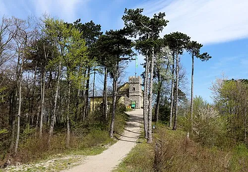 Höllensteinberg Mountain, Kaltenleutgeben2.7 km NW
-
Finsterer Gang Natural site, Lower Austria2.1 km N
-
Mittlerer Otter Mountain, Gaaden1.7 km S
-
Naturpark Sparbach Natural site, Lower Austria1.9 km W
Sources & licences
Data last updated: