Enzenreith
Located in Politischer Bezirk Neunkirchen, Lower Austria Coordinates: 47°40′02″ N 15°58′21″ E
- Population
- 1,942
- 1.9K
- Elevation
- 513 m
- above sea level
- Local time
- UTC+01:00
- Europe/Vienna · UTC+01:00
- Places inside
- 6
- listed under Enzenreith
About Enzenreith
Enzenreith is a municipality. Location: Politischer Bezirk Neunkirchen, Lower Austria. Population: 1,942. Elevation: 513 m.
In comparison
- No. 10 of 44 places in Politischer Bezirk Neunkirchen by population
- Nearest larger town: Gloggnitz, 3 km W
- 18 sights and natural places within 10 km Auebach, Wartenstein
- Listed here: Village: 6
Airports nearest to Enzenreith
- Vienna International Airport (VIE) Vienna 67 km
- Graz Airport (GRZ) Feldkirchen bei Graz 85 km
- M. R. Štefánik Airport (BTS) Bratislava 108 km
Straight-line distance; airports with scheduled flights only. Source: OurAirports (public domain).
Places in Enzenreith
6 places-
Enzenreith Village760
-
Köttlach Village402
-
Wörth Village378
-
Hart Village337
-
Hilzmannsdorf Village52
-
Thürmannsdorf Village17
Nearby attractions & nature
Everything nearby-
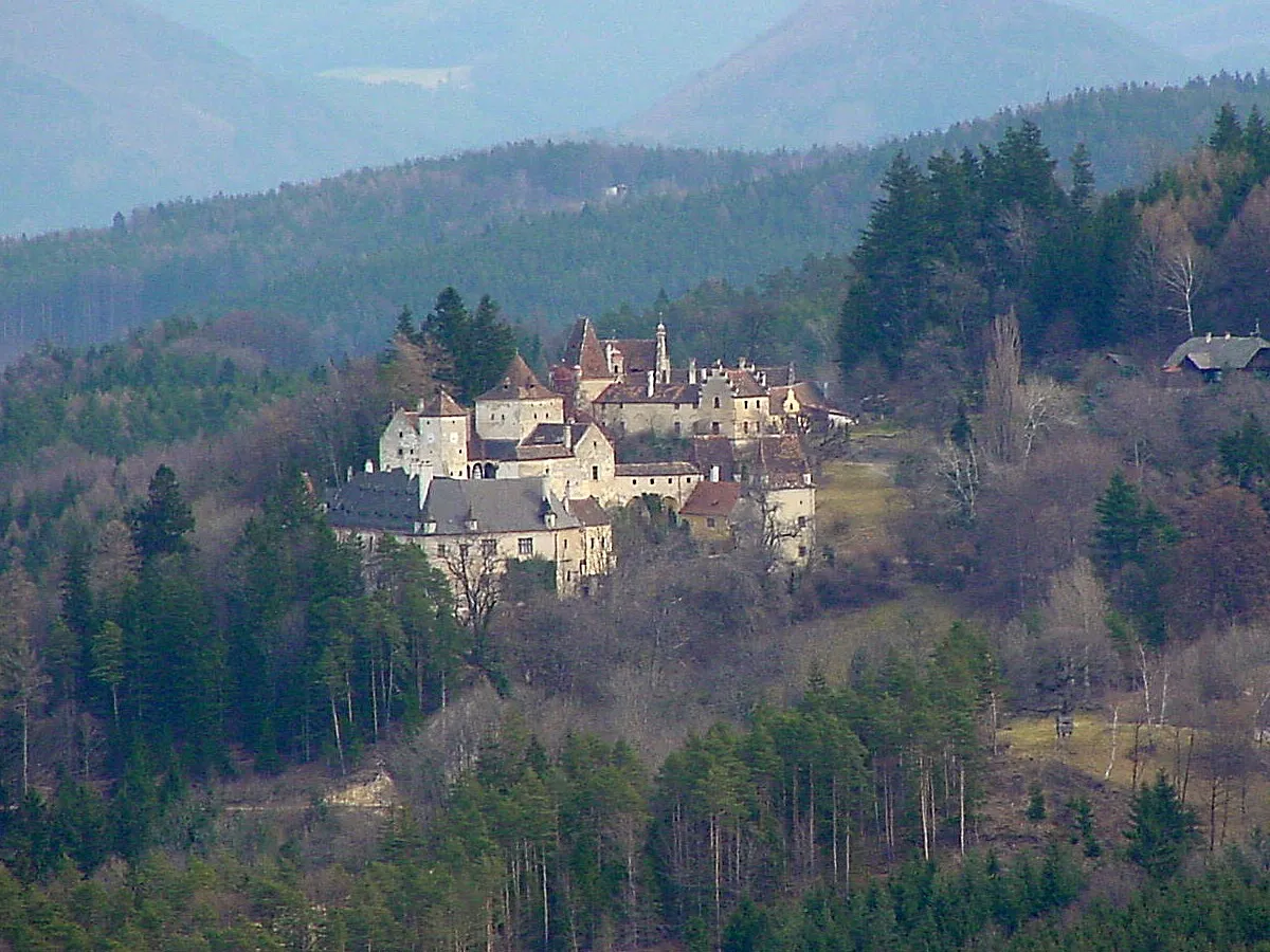 Schloss Steyersberg Historic site, Warth5 km SE
-
Auebach River, Lower Austria3.4 km NW
-
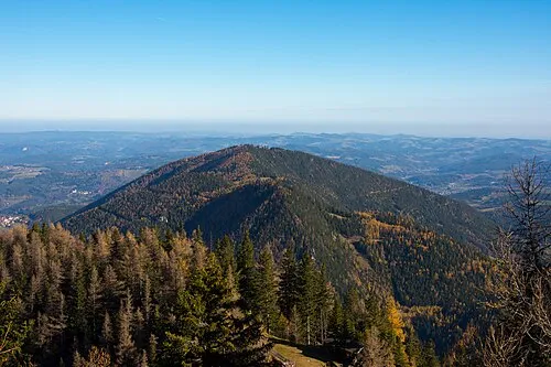 Großer Otter Mountain, Raach am Hochgebirge6.1 km SW
-
Wartenstein Historic site, Raach am Hochgebirge4.6 km SW
-
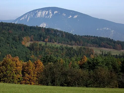 Gösing Mountain, Ternitz7.6 km N
-
Eselsberg Mountain, Feistritz am Wechsel6 km S
-
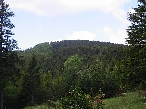 Schwarzenberg Mountain, Bürg-Vöstenhof8.7 km NW
-
Molz Bach River, Lower Austria6 km S
Sources & licences
Data last updated: