Dürrenstein
Located in Göstling an der Ybbs, Politischer Bezirk Scheibbs Coordinates: 47°47′00″ N 15°03′00″ E
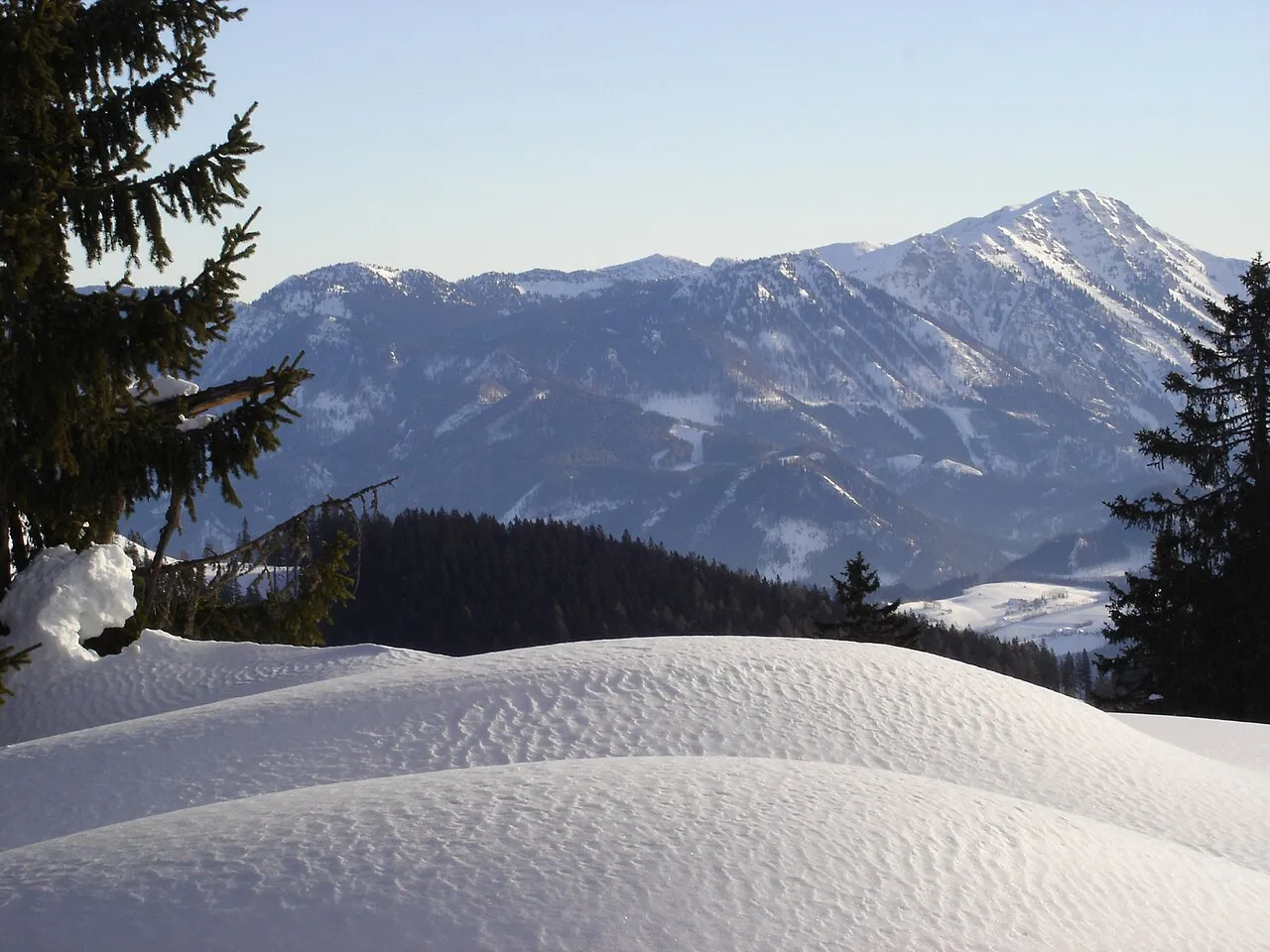
- Elevation
- 1,878 m
- above sea level
- Local time
- UTC+01:00
- Europe/Vienna · UTC+01:00
- Airports
- LNZ Linz-Hörsching Airport82 km
- GRZ Graz Airport93 km
About Dürrenstein
Dürrenstein is a mountain. Location: Göstling an der Ybbs, Politischer Bezirk Scheibbs. Elevation: 1,878 m.
Dürrenstein is a mountain in Lower Austria (Niederösterreich), part of the Ybbstal Alps in the Northern Limestone Alps. Its elevation is about 1,878 m (6,160 ft), making it one of the higher peaks in the area. The mountain is located near the municipality of Lunz am See, south of the beautiful turquoise Lake Lunz.
Source: Wikipedia · CC BY-SA 4.0
At a glance
- Topographic prominence
- 809 m
Source: Wikidata
Photos of Dürrenstein
-

Dionysos1970 · CC BY-SA 4.0 -

Schreckgespenst · CC BY-SA 4.0 -

Kuhni74 · CC BY-SA 4.0 -

Herzi Pinki · CC BY-SA 3.0 -

GT1976 · CC BY-SA 4.0


Climate of Dürrenstein
This month · November
A cold month
Day -1° · Night -8° · Rain 77 mm
- Hottest month
- July (day 14°)
- Coldest month
- January (night -12°)
- Wettest month
- July (166 mm)
- Driest month
- February (63 mm)
Bars: average monthly low and high temperature. Below: precipitation. Monthly averages for 1970–2000 at about 18 km resolution, adjusted for elevation. Highlighted months are mild and relatively dry. Source: WorldClim 2.1 (CC BY 4.0).
Show values as a table
| Month | Jan | Feb | Mar | Apr | May | Jun | Jul | Aug | Sep | Oct | Nov | Dec |
|---|---|---|---|---|---|---|---|---|---|---|---|---|
| Average high (°C) | -5° | -4° | -1° | 3° | 10° | 12° | 14° | 14° | 10° | 6° | -1° | -4° |
| Average low (°C) | -12° | -12° | -9° | -6° | -1° | 2° | 4° | 4° | 1° | -3° | -8° | -11° |
| Precipitation (mm) | 65 | 63 | 87 | 88 | 113 | 142 | 166 | 134 | 111 | 78 | 77 | 77 |
How to get to Dürrenstein
The nearest airport is Linz-Hörsching Airport (LNZ), 82 km to the northwest as the crow flies. The nearest large city is Linz, 81 km to the northwest.
Airports
- Linz-Hörsching Airport (LNZ) Linz 82 kmnorthwest
- Graz Airport (GRZ) Feldkirchen bei Graz 93 kmsouth
- Vienna International Airport (VIE) Vienna 119 kmeast
Nearby large cities
- Linz Population: 204.8K 81 kmnorthwest
- Graz Population: 303.3K 85 kmsouth
- Klagenfurt Population: 100.3K 141 kmsouthwest
- Salzburg Population: 157.2K 150 kmwest
- Bratislava Population: 423.7K 159 kmeast
Straight-line distances; road distances are longer. Airport data: OurAirports.
Day trips from Dürrenstein
Within 100 km: 328 historic and cultural sites, 2,247 natural sites, 626 lakes, rivers and coasts.
0–25 km186 places
- Türnsee Lake 14 kmSE
- Teufelssee Lake 20 kmS
- Sackwiesensee Lake 21 kmS
- Obersee Lake 2 kmNE
25–60 km992 places
- Gassner Camel Riding School Natural site 56 kmN
- Treffnersee Lake 47 kmSW
- Eberlsee Lake 58 kmSW
- Zwirtner See Lake 59 kmW
60–100 km2,023 places
- Klamm Natural site 63 kmSW
- Gusen I Concentration Camp Historic site 68 kmNW
- Wildsee Lake 91 kmSW
- Waldsee Lake 98 kmNE
Straight-line distances.
Nearest towns and villages
-
Steinbach Village, Göstling an der Ybbs4.2 km W
-
Lunz am See Municipality, Politischer Bezirk Scheibbs8 km N
-
Rothwald Village, Gaming4.5 km SE
-
Göstling an der Ybbs Village, Göstling an der Ybbs8.8 km W
-
Stixenlehen Village, Göstling an der Ybbs8.9 km W
-
Lunz am See Village, Lunz am See8.8 km N
Nearby attractions & nature
Everything nearby-
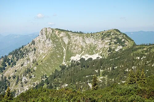 Notten Mountain, Göstling an der Ybbs2.2 km NW
-
Edelwies Mountain, Gaming2.2 km SE
-
Eisenstatt Mountain, Göstling an der Ybbs1.9 km N
-
Rothwald Natural site, Lower Austria1.9 km S
-
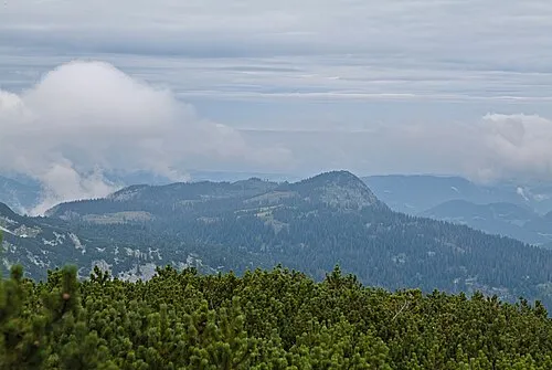 Grosser Hetzkogel Mountain, Lunz am See3.9 km N
-
Obersee Lake, Lower Austria2.2 km NE
-
Hochkirchen Mountain, Wildalpen3.9 km S
-
Kreuzkogel Mountain, Göstling an der Ybbs4.2 km NW
More nature in Austria
-
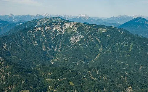 Ringkogel Mountain, Göstling an der Ybbs6.2 km SW
-
Kösslberg Mountain, Göstling an der Ybbs7.3 km SW
-
Lickerplanhöhe Mountain, Göstling an der Ybbs10 km SW
-
Scheiben Berg Mountain, Göstling an der Ybbs14 km W
-
Eignerkogel Mountain, Göstling an der Ybbs13 km W
-
Schwölleck Berg Mountain, Göstling an der Ybbs11 km W
Sources & licences
Data last updated: · 2 independent sources