Agnesbründl
Located in State of Vienna, Austria Coordinates: 48°16′24″ N 16°17′53″ E
- Elevation
- 449 m
- above sea level
- Local time
- UTC+01:00
- Europe/Vienna · UTC+01:00
About Agnesbründl
Agnesbründl is a natural site. Location: State of Vienna, Austria.
In comparison
- 294 sights and natural places within 10 km Hermannskogel, Vogelsangberg
Nearest towns and villages
-
Klosterneuburg Municipality, Politischer Bezirk Tulln2.9 km NW
-
Gemeindebezirk Döbling Municipality, Vienna3.7 km SE
-
Weidling Village, Klosterneuburg2.1 km N
-
Döbling Neighbourhood, Gemeindebezirk Döbling3.7 km SE
-
Gemeindebezirk Währing Municipality, Vienna4.7 km S
-
Klosterneuburg Town, Klosterneuburg4.1 km NE
Nearby attractions & nature
Everything nearby-
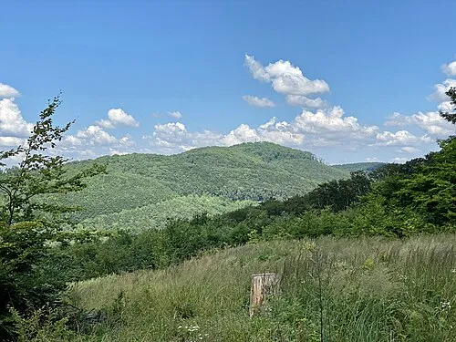 Hermannskogel Mountain, Gemeindebezirk Döbling0.5 km SW
-
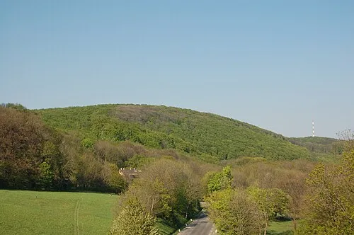 Vogelsangberg Mountain, Gemeindebezirk Döbling1 km E
-
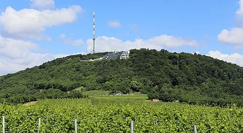 Kahlenberg Mountain, Gemeindebezirk Döbling2.6 km E
-
Latisberg Mountain, Gemeindebezirk Döbling1.4 km SE
-
Am Himmel Mountain, Gemeindebezirk Döbling1.5 km SE
-
Beital Natural site, Lower Austria2.4 km W
-
Krapfenwaldl Mountain, Gemeindebezirk Döbling2.4 km E
-
Ramberg Mountain, Klosterneuburg2.4 km W
More nature in Austria
-
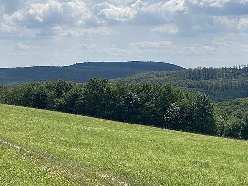 Schutzengelberg Mountain, Gemeindebezirk Penzing6.6 km SW
-
Simonsberg Mountain, State of Vienna2.5 km SW
-
Krapfenwald Natural site, State of Vienna2.5 km E
-
Hameau Mountain, Gemeindebezirk Hernals3.2 km SW
-
Michaelerberg Mountain, Gemeindebezirk Hernals3.2 km S
-
Leopoldsberg Mountain, Gemeindebezirk Döbling3.6 km E
Sources & licences
Data last updated: