Augarten
Located in State of Vienna, Austria Coordinates: 48°13′33″ N 16°22′40″ E
- Elevation
- 164 m
- above sea level
- Local time
- UTC+01:00
- Europe/Vienna · UTC+01:00
About Augarten
Augarten is a natural site. Location: State of Vienna, Austria.
In comparison
- 280 sights and natural places within 10 km St. Leopold, Friedensbrücke
Nearest towns and villages
-
Gemeindebezirk Brigittenau Municipality, Vienna1 km N
-
Gemeindebezirk Alsergrund Municipality, Vienna1.6 km W
-
Leopoldstadt Municipality, Vienna1.9 km SE
-
Brigittenau Neighbourhood, Gemeindebezirk Brigittenau1.9 km N
-
Inner city Municipality, Vienna2.1 km S
-
Alsergrund Neighbourhood, Gemeindebezirk Alsergrund1.7 km W
Nearby attractions & nature
Everything nearby-
 Augartenbrücke Landmark, Leopoldstadt1 km SW
-
 Liechtenstein Museum Museum, Gemeindebezirk Alsergrund1.4 km W
-
St. Leopold Historic site, Leopoldstadt0.8 km S
-
 Verbindungsbahnbrücke Landmark, Leopoldstadt1.8 km SE
-
Friedensbrücke Landmark, Gemeindebezirk Brigittenau0.9 km W
-
Zum Schwarzen Bären Historic site, Leopoldstadt1 km S
-
Karmeliterkirche Attraction, Leopoldstadt1.1 km S
-
Kirche Rossau Historic site, Gemeindebezirk Alsergrund1.2 km SW
More nature in Austria
-
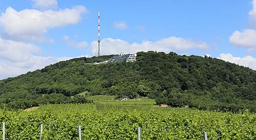 Kahlenberg Mountain, Gemeindebezirk Döbling6.5 km NW
-
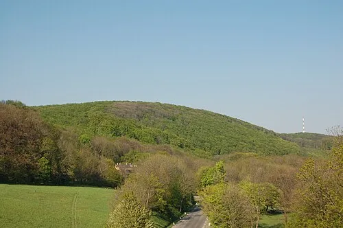 Vogelsangberg Mountain, Gemeindebezirk Döbling7.2 km NW
-
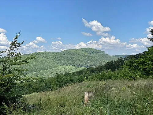 Hermannskogel Mountain, Gemeindebezirk Döbling8 km NW
-
Rathauspark Natural site, State of Vienna2.1 km SW
-
Währinger Park Natural site, Gemeindebezirk Währing2.3 km W
-
Volksgarten Natural site, Inner city2.3 km SW
Sources & licences
Data last updated: