Gemeindebezirk Hernals
Located in Vienna, State of Vienna Coordinates: 48°13′37″ N 16°18′36″ E
- Population
- 56,342
- 56.3K
- Elevation
- 224 m
- above sea level
- Local time
- UTC+01:00
- Europe/Vienna · UTC+01:00
- Places inside
- 8
- listed under Gemeindebezirk Hernals
About Gemeindebezirk Hernals
Gemeindebezirk Hernals is a municipality. Location: Vienna, State of Vienna. Population: 56,342. Elevation: 224 m.
In comparison
- No. 14 of 23 places in Vienna by population
- Nearest larger town: Hernals, 0 km SW
- 326 sights and natural places within 10 km Pötzleinsdorfer Schlosspark, Geymüllerschlössl
- Listed here: Mountain: 3, Neighbourhood: 3, Historic site: 1, Landmark: 1
Places in Gemeindebezirk Hernals
8 places-
Hernals Neighbourhood57.5K
-
Dornbach Neighbourhood
-
Hameau Mountain
-
Heuberg Mountain
-
Kalvarienbergkirche Historic site
-
Lacygrab Landmark
-
Michaelerberg Mountain
-
Neuwaldegg Neighbourhood
Nearby attractions & nature
Everything nearby-
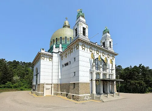 Otto Wagner Kirche Attraction, Gemeindebezirk Penzing3 km SW
-
Pötzleinsdorfer Schlosspark Natural site, Gemeindebezirk Währing1.6 km N
-
Schafberg Mountain, Gemeindebezirk Währing1.9 km NW
-
Geymüllerschlössl Museum, Gemeindebezirk Währing1.9 km N
-
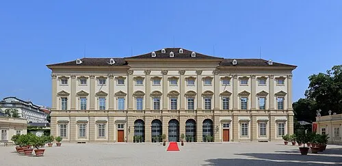 Liechtenstein Museum Museum, Gemeindebezirk Alsergrund3.7 km E
-
Schloß Wilhelminenberg Historic site, Gemeindebezirk Ottakring2.3 km SW
-
Eckbach River, State of Vienna2.1 km W
-
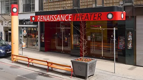 Renaissancetheater Attraction, Gemeindebezirk Neubau4.1 km SE
Sources & licences
Data last updated: