Wien
Located in State of Vienna, Austria Coordinates: 48°12′32″ N 16°23′03″ E
- Elevation
- 172 m
- above sea level
- Local time
- UTC+01:00
- Europe/Vienna · UTC+01:00
About Wien
Wien is a river. Location: State of Vienna, Austria.
At a glance
- Length
- 34 km
Source: Wikidata
In comparison
- 270 sights and natural places within 10 km MAK - Museum of Applied Arts, Neues Johannes-Nepomuk-Spital
Nearest towns and villages
-
Leopoldstadt Municipality, Vienna1.5 km NE
-
Gemeindebezirk Landstrasse Municipality, Vienna1.4 km SE
-
Landstraße Neighbourhood, Gemeindebezirk Landstrasse0.8 km S
-
Inner city Municipality, Vienna1 km W
-
Innere Stadt Neighbourhood, Inner city0.9 km W
-
Gemeindebezirk Wieden Municipality, Vienna2.3 km SW
Nearby attractions & nature
Everything nearby-
Stadtpark Natural site, State of Vienna0.6 km SW
-
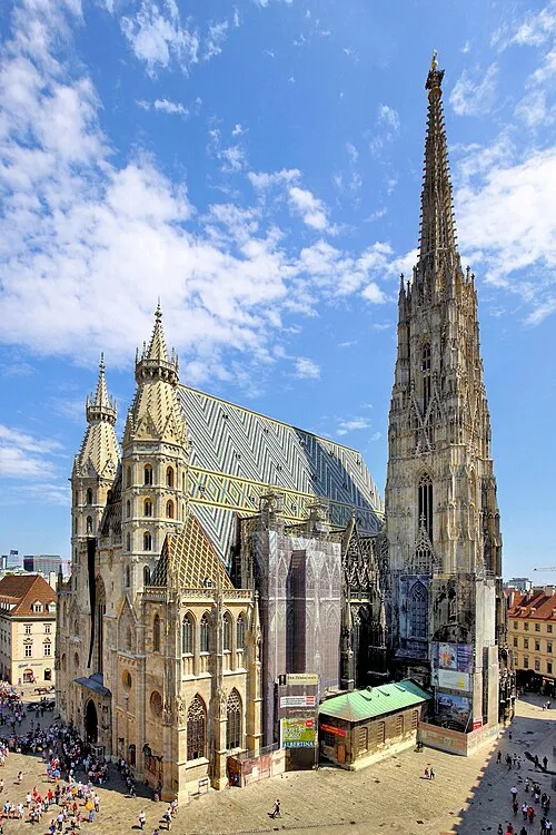 St. Stephen's Cathedral Attraction, Inner city0.8 km W
-
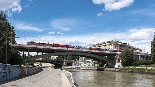 Verbindungsbahnbrücke Landmark, Leopoldstadt0.8 km NE
-
MAK - Museum of Applied Arts Museum, Inner city0.2 km SW
-
Neues Johannes-Nepomuk-Spital Historic site, Gemeindebezirk Landstrasse0.3 km SE
-
Urania Attraction, Inner city0.3 km N
-
Aspernbrücke Landmark, Leopoldstadt0.4 km N
-
Kunstsalon Pisko 1895-1906 Museum, Inner city0.4 km SW
More lakes, rivers and coasts in Austria
-
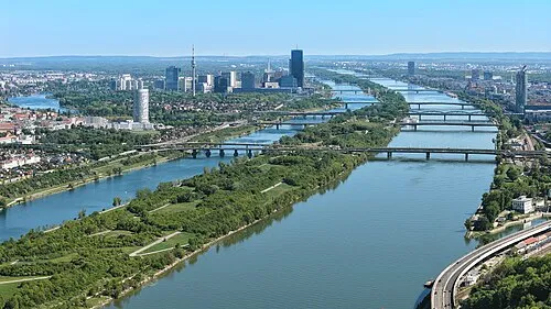 Donauinsel Island, State of Vienna6.6 km N
-
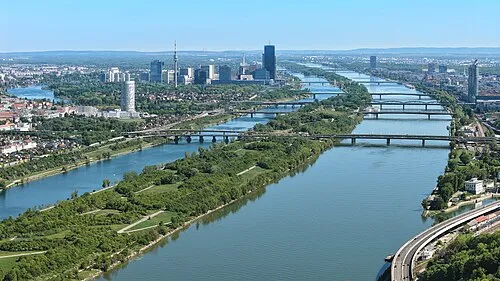 Donauinsel Island, State of Vienna8 km SE
-
Schreiberbach River, State of Vienna6 km N
-
Steinsee Lake, State of Vienna7.7 km SW
-
Eckbach River, State of Vienna8 km W
-
Dornbach River, State of Vienna9.7 km W
Sources & licences
Data last updated: · 2 independent sources