Gfäll
Located in Thörl, Bruck-Mürzzuschlag District Coordinates: 47°31′00″ N 15°07′00″ E
- Elevation
- 1,450 m
- above sea level
- Local time
- UTC+01:00
- Europe/Vienna · UTC+01:00
About Gfäll
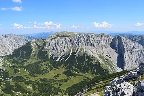
Gfäll is a mountain. Location: Thörl, Bruck-Mürzzuschlag District. Elevation: 1,450 m.
In comparison
- No. 4692 of 7537 mountains in Austria by elevation
- 34 sights and natural places within 10 km Wohntal Hocheck, Oisching Graben
Nearest towns and villages
-
Oisching Village, Thörl1.6 km E
-
Tragöß-Sankt Katharein Municipality, Bruck-Mürzzuschlag District3.4 km W
-
Pichl-Großdorf Village, Tragöß-Sankt Katharein3.2 km W
-
Etmißl Village, Thörl4.4 km E
-
Lonschitz Village, Thörl4.1 km E
-
Tal Village, Tragöß-Sankt Katharein2.9 km W
Nearby attractions & nature
Everything nearby-
Wohntal Hocheck Mountain, Tragöß-Sankt Katharein2.2 km NW
-
Lonschitz Graben Natural site, Styria3.8 km E
-
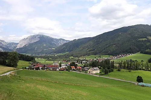 Tragöss Tal Natural site, Styria4.2 km SW
-
Ilgner Hockeck Mountain, Thörl4.5 km NE
-
Grubeck Mountain, Thörl3.9 km N
-
Oisching Graben Natural site, Styria3.8 km E
-
Lercheck Mountain, Tragöß-Sankt Katharein5.3 km SE
-
Sankt Ilgner Tal Natural site, Styria5.3 km NE
More nature in Austria
-
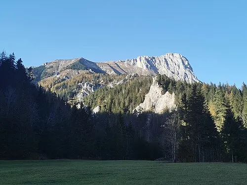 Fölzstein Mountain, Thörl10 km N
-
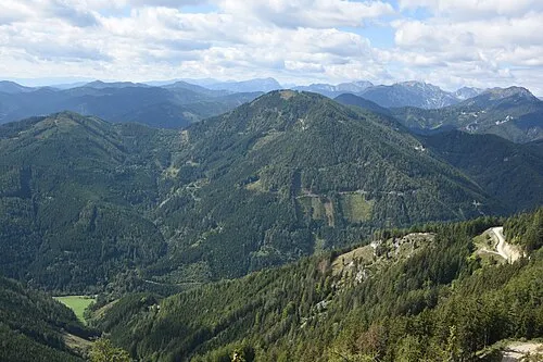 Ilgner Alpel Mountain, Thörl8.4 km NE
-
Meßnerin Mountain, Thörl5.5 km NW
-
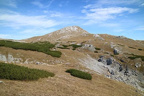 Karl Hochkogel Mountain, Thörl12 km N
-
Himmel Mountain, Thörl6.3 km E
-
 Mitteralpe Mountain, Thörl13 km NE
Sources & licences
Data last updated: