Sankt Josef (Weststeiermark)
Located in Deutschlandsberg District, Styria Coordinates: 46°54′25″ N 15°19′31″ E
- Population
- 1,560
- 1.6K
- Elevation
- 357 m
- above sea level
- Local time
- UTC+01:00
- Europe/Vienna · UTC+01:00
- Places inside
- 4
- listed under Sankt Josef (Weststeiermark)
About Sankt Josef (Weststeiermark)
Sankt Josef (Weststeiermark) is a municipality. Location: Deutschlandsberg District, Styria. Population: 1,560. Elevation: 357 m.
In comparison
- No. 14 of 15 places in Deutschlandsberg District by population
- Nearest larger town: Lannach, 4 km N
- 21 sights and natural places within 10 km Lemsitz Bach, Zirknitz
- Listed here: Village: 4
Places in Sankt Josef (Weststeiermark)
4 places-
Sankt Josef (Weststeiermark) Village727
-
Tobisegg Village469
-
Oisnitz Village405
-
Petzendorf Village
Nearby attractions & nature
Everything nearby-
Schloss Lannach Concentration Camp Historic site, Lannach4.3 km N
-
Lemsitz Bach River, Styria3.3 km SW
-
Zirknitz River, Styria3.5 km S
-
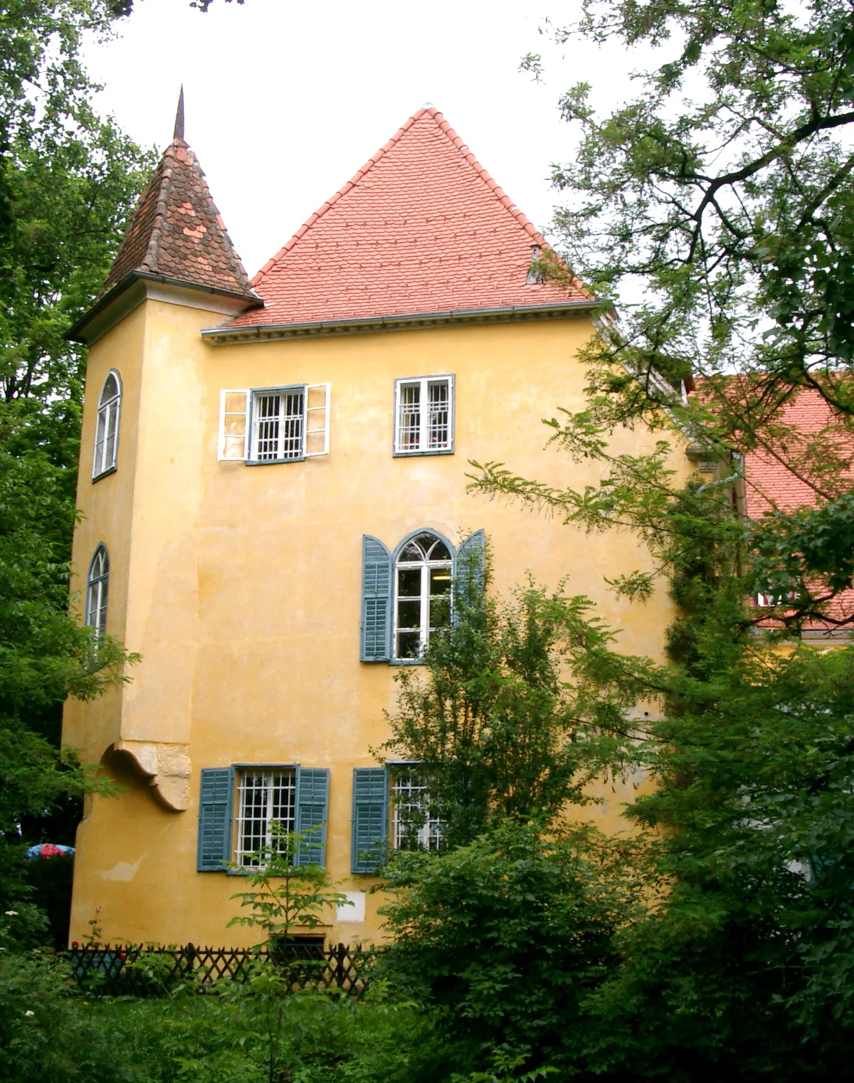 Schloss Gjaidhof Historic site, Dobl-Zwaring6.5 km NE
-
Höll Berg Mountain, Dobl-Zwaring6.3 km SE
-
Sendemast Dobl Landmark, Dobl-Zwaring6.3 km NE
-
Kaiser Wald Natural site, Styria6.4 km NE
-
Tobel Bach River, Styria6.2 km E
Sources & licences
Data last updated: