Sattental Alm
Located in Michaelerberg-Pruggern, Liezen District Coordinates: 47°21′00″ N 13°51′00″ E
- Elevation
- 1,576 m
- above sea level
- Local time
- UTC+01:00
- Europe/Vienna · UTC+01:00
- Airports
- SZG Salzburg Airport80 km
- KLU Klagenfurt Airport87 km
About Sattental Alm
Sattental Alm is a village. Location: Michaelerberg-Pruggern, Liezen District. Elevation: 1,576 m. The nearest airport is Salzburg Airport (80 km). Nearby sights include Schober and Gamskarspitz.
Photos of Sattental Alm
-
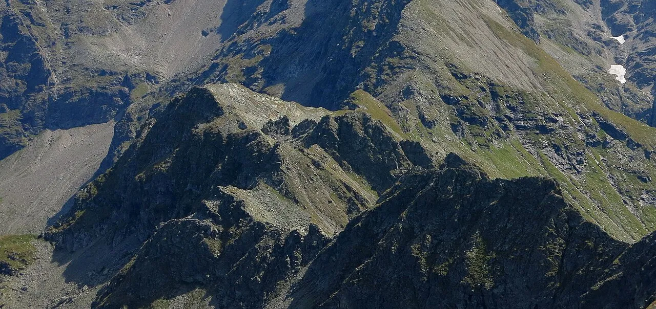
Gruberberg Jörg Braukmann · CC BY-SA 4.0 -
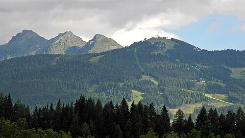
Rauhenberg SchiDD · CC BY-SA 4.0 -
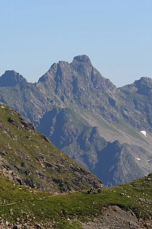
Pulverturm Ewald Gabardi · CC BY-SA 3.0 -
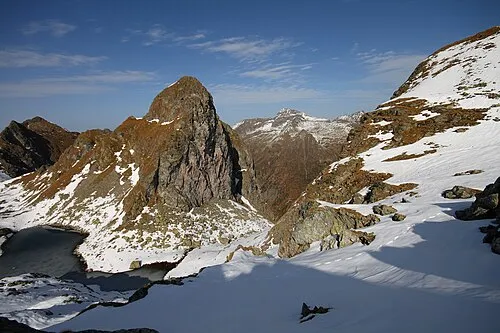
Greifenstein Ewald Gabardi · CC BY-SA 3.0 -
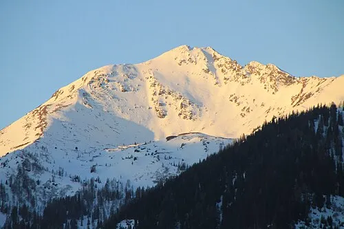
Spateck Manfred Brandner · CC BY-SA 4.0


Climate of Sattental Alm
This month · November
A cold month
Day 1° · Night -6° · Rain 97 mm
- Hottest month
- July (day 16°)
- Coldest month
- January (night -10°)
- Wettest month
- July (179 mm)
- Driest month
- February (68 mm)
Bars: average monthly low and high temperature. Below: precipitation. Monthly averages for 1970–2000 at about 18 km resolution, adjusted for elevation. Highlighted months are mild and relatively dry. Source: WorldClim 2.1 (CC BY 4.0).
Show values as a table
| Month | Jan | Feb | Mar | Apr | May | Jun | Jul | Aug | Sep | Oct | Nov | Dec |
|---|---|---|---|---|---|---|---|---|---|---|---|---|
| Average high (°C) | -3° | -2° | 2° | 5° | 11° | 14° | 16° | 16° | 12° | 8° | 1° | -2° |
| Average low (°C) | -10° | -10° | -7° | -4° | 1° | 4° | 6° | 6° | 3° | -1° | -6° | -9° |
| Precipitation (mm) | 74 | 68 | 96 | 96 | 115 | 164 | 179 | 153 | 123 | 94 | 97 | 94 |
How to get to Sattental Alm
The nearest airport is Salzburg Airport (SZG), 80 km to the northwest as the crow flies. The nearest large city is Salzburg, 79 km to the northwest.
Airports
- Salzburg Airport (SZG) Salzburg 80 kmnorthwest
- Klagenfurt Airport (KLU) Klagenfurt am Wörthersee 87 kmsoutheast
- Linz-Hörsching Airport (LNZ) Linz 102 kmnorth
Nearby large cities
- Salzburg Population: 157.2K 79 kmnorthwest
- Klagenfurt Population: 100.3K 88 kmsoutheast
- Linz Population: 204.8K 111 kmnorth
- Graz Population: 303.3K 125 kmeast
- Ljubljana Population: 272.2K 153 kmsouth
Straight-line distances; road distances are longer. Airport data: OurAirports.
Day trips from Sattental Alm
Within 100 km: 330 historic and cultural sites, 3,603 natural sites, 1,072 lakes, rivers and coasts.
0–25 km582 places
- Hoher Dachstein Mountain 23 kmNW
- Seeriessee Lake 8 kmW
- Untersee Lake 19 kmW
- Wildsee Lake 18 kmSW
25–60 km1,908 places
- Klamm Natural site 40 kmNE
- Treffnersee Lake 57 kmE
- Glohbuckensee Lake 42 kmE
- Gemeinsee Lake 43 kmE
60–100 km2,515 places
- Planica Natural site 98 kmS
- Fürlegsee Lake 96 kmW
- Vorderer Langtalsee Lake 90 kmSW
- Wildsee Lake 66 kmSE
Straight-line distances.
Nearby attractions & nature
Everything nearby-
Schober Mountain, Michaelerberg-Pruggern1 km W
-
Gamskarspitz Mountain, Michaelerberg-Pruggern1 km W
-
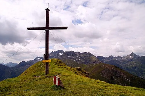 Pleschnitzzinken Mountain, Aich1.9 km N
-
Vockentalspitze Mountain, Aich1.3 km W
-
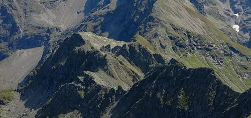 Gruberberg Mountain, Aich2.5 km W
-
Himmelreich Mountain, Schladming2.2 km SW
Sources & licences
Data last updated: