Hintere Waschlkarspitze
Located in Schladming, Liezen District Coordinates: 47°19′00″ N 13°43′00″ E
- Elevation
- 2,132 m
- above sea level
- Local time
- UTC+01:00
- Europe/Vienna · UTC+01:00
About Hintere Waschlkarspitze
Hintere Waschlkarspitze is a mountain. Location: Schladming, Liezen District. Elevation: 2,132 m.
In comparison
- No. 2545 of 7537 mountains in Austria by elevation
- 206 sights and natural places within 10 km Mittlere Waschlkarspitze, Birkkuppen
Airports nearest to Hintere Waschlkarspitze
- Salzburg Airport (SZG) Salzburg 75 km
- Klagenfurt Airport (KLU) Klagenfurt am Wörthersee 89 km
- Linz-Hörsching Airport (LNZ) Linz 108 km
Straight-line distance; airports with scheduled flights only. Source: OurAirports (public domain).
Nearest towns and villages
-
Postlehen Village, Schladming3.1 km NW
-
Untertal Village, Schladming6 km NW
-
Schladming Village, Schladming8.8 km N
-
Rohrmoos Village, Schladming8.2 km NW
-
Fastenberg Neighbourhood, Schladming7.5 km N
-
Obere Klaus Village, Schladming9.8 km NW
Nearby attractions & nature
Everything nearby-
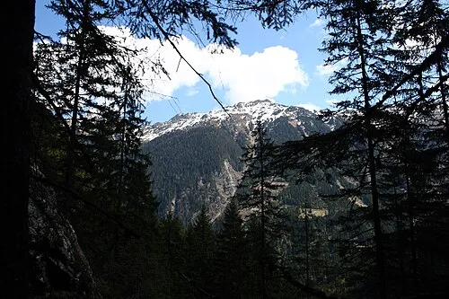 Sonntagkarzinken Mountain, Schladming<0.1 km N
-
Brechelspitze Mountain, Schladming<0.1 km N
-
Mittlere Waschlkarspitze Mountain, Schladming<0.1 km N
-
Birkkuppen Mountain, Schladming<0.1 km N
-
Vordere Waschlkarspitze Mountain, Schladming<0.1 km N
-
Vorderer Wildkarstein Mountain, Schladming1.3 km E
-
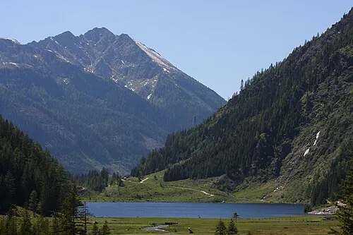 Steinkarzinken Mountain, Schladming1.9 km N
-
Farmrieseck Mountain, Schladming1.3 km E
More nature in Austria
-
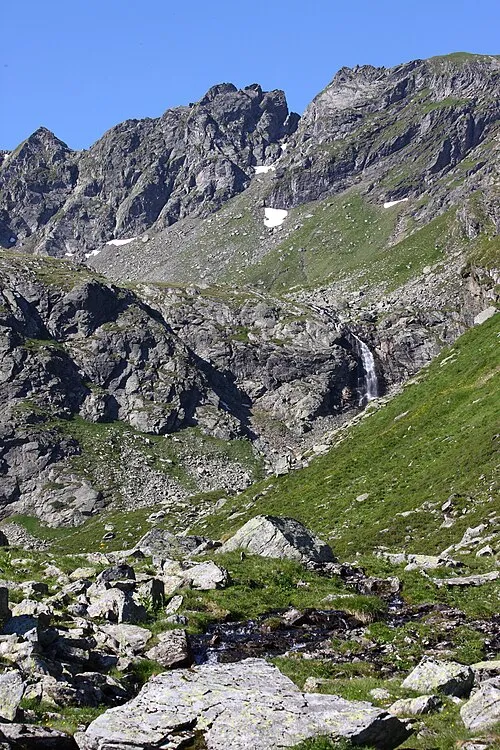 Hinterer Wildkarstein Mountain, Schladming2.2 km SE
-
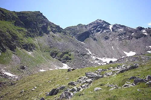 Wasserfallspitze Mountain, Schladming2.2 km SE
-
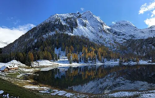 Duisitzer Hahnkamp Mountain, Schladming3.9 km S
-
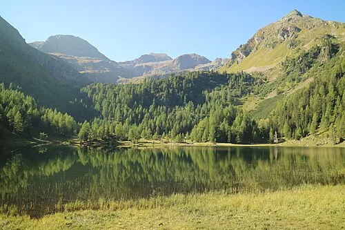 Murspitzen Mountain, Schladming4.2 km SW
-
Bärnriesenberg Mountain, Schladming3.1 km NW
-
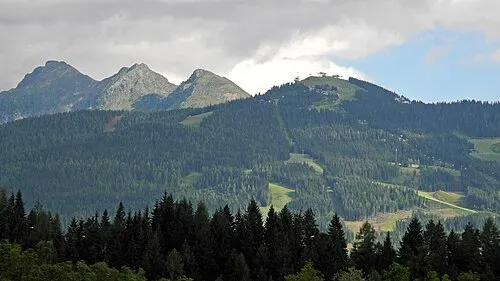 Rauhenberg Mountain, Schladming4.5 km NE
Sources & licences
Data last updated: