Roßkogel
Located in Stainach-Pürgg, Liezen District Coordinates: 47°35′53″ N 14°03′52″ E
- Elevation
- 1,890 m
- above sea level
- Local time
- UTC+01:00
- Europe/Vienna · UTC+01:00
About Roßkogel
Roßkogel is a mountain. Location: Stainach-Pürgg, Liezen District. Elevation: 1,890 m.
In comparison
- No. 3401 of 7537 mountains in Austria by elevation
- 92 sights and natural places within 10 km Schwarzen See, Gams Spitze
Nearest towns and villages
Nearby attractions & nature
Everything nearby-
Kleiner Brieglers Berg Mountain, Bad Mitterndorf2.3 km NW
-
Schwarzen See Lake, Styria1.1 km W
-
Gams Spitze Mountain, Stainach-Pürgg2 km N
-
Feldl Mountain, Stainach-Pürgg3.1 km SE
-
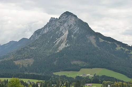 Hechelstein Mountain, Stainach-Pürgg3.5 km S
-
Steileck Mountain, Stainach-Pürgg2.7 km E
-
Stubenbach River, Styria2.2 km SE
-
Kleine Tragl Mountain, Bad Mitterndorf3.1 km NW
More nature in Austria
-
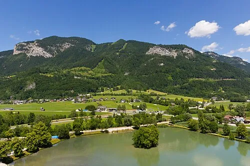 Brandangerkogel Mountain, Stainach-Pürgg6.1 km S
-
Leistenstein Mountain, Stainach-Pürgg5.7 km S
-
Hochtor Mountain, Stainach-Pürgg3.1 km SE
-
Gwöhnlistein Mountain, Stainach-Pürgg3.2 km S
-
Dürrneck Mountain, Stainach-Pürgg4.3 km SE
-
Gindlhorn Mountain, Stainach-Pürgg5.9 km S
Sources & licences
Data last updated: