Gamsleiteck
Located in Krakau, Politischer Bezirk Murau Coordinates: 47°14′12″ N 13°55′25″ E
- Elevation
- 2,419 m
- above sea level
- Local time
- UTC+01:00
- Europe/Vienna · UTC+01:00
- Airports
- KLU Klagenfurt Airport73 km
- SZG Salzburg Airport93 km
About Gamsleiteck
Gamsleiteck is a mountain. Location: Krakau, Politischer Bezirk Murau. Elevation: 2,419 m. The nearest airport is Klagenfurt Airport (73 km). Nearby sights include Lahneck and Mitterkarsee.
Photos of Gamsleiteck
-
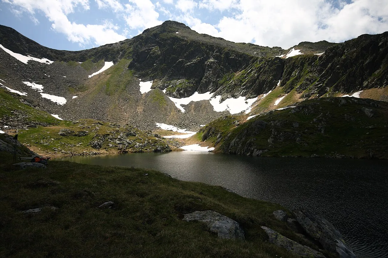
Wiegeneck Ewald Gabardi · CC BY-SA 3.0 -
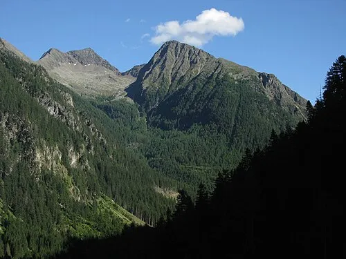
Somspitze Kuhni74 · CC BY-SA 4.0 -
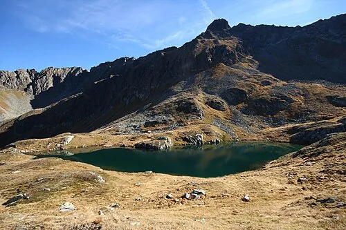
Predigtstuhl Ewald Gabardi · CC BY-SA 3.0 -
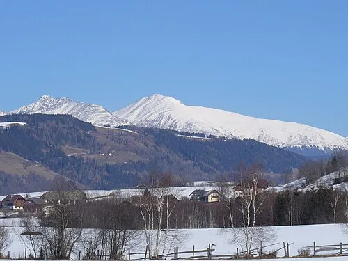
Preber Sennah78 at German Wikipedia · Public domain -
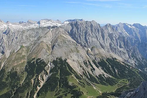
Gamskarspitze Luidger · CC BY 3.0


Climate of Gamsleiteck
This month · November
A wet month
Day -3° · Night -9° · Rain 137 mm
- Hottest month
- July (day 10°)
- Coldest month
- February (night -14°)
- Wettest month
- July (204 mm)
- Driest month
- February (85 mm)
Bars: average monthly low and high temperature. Below: precipitation. Monthly averages for 1970–2000 at about 18 km resolution, adjusted for elevation. Highlighted months are mild and relatively dry. Source: WorldClim 2.1 (CC BY 4.0).
Show values as a table
| Month | Jan | Feb | Mar | Apr | May | Jun | Jul | Aug | Sep | Oct | Nov | Dec |
|---|---|---|---|---|---|---|---|---|---|---|---|---|
| Average high (°C) | -6° | -6° | -4° | -1° | 4° | 8° | 10° | 10° | 7° | 3° | -3° | -6° |
| Average low (°C) | -14° | -14° | -12° | -9° | -4° | -1° | 1° | 2° | -2° | -5° | -9° | -12° |
| Precipitation (mm) | 92 | 85 | 121 | 138 | 148 | 192 | 204 | 176 | 154 | 132 | 137 | 121 |
How to get to Gamsleiteck
The nearest airport is Klagenfurt Airport (KLU), 73 km to the southeast as the crow flies. The nearest large city is Klagenfurt, 74 km to the southeast.
Airports
- Klagenfurt Airport (KLU) Klagenfurt am Wörthersee 73 kmsoutheast
- Salzburg Airport (SZG) Salzburg 93 kmnorthwest
- Linz-Hörsching Airport (LNZ) Linz 113 kmnorth
Nearby large cities
- Klagenfurt Population: 100.3K 74 kmsoutheast
- Salzburg Population: 157.2K 91 kmnorthwest
- Graz Population: 303.3K 117 kmeast
- Linz Population: 204.8K 122 kmnorth
- Ljubljana Population: 272.2K 139 kmsouth
Straight-line distances; road distances are longer. Airport data: OurAirports.
Day trips from Gamsleiteck
Within 100 km: 336 historic and cultural sites, 3,642 natural sites, 1,021 lakes, rivers and coasts.
0–25 km395 places
- Seeriessee Lake 18 kmNW
- Wildsee Lake 20 kmW
- Schwarze Lacke Lake 22 kmNW
- Salleitnerteich Lake 22 kmNW
25–60 km1,926 places
- Hoher Dachstein Mountain 36 kmNW
- Klamm Natural site 43 kmNE
- Untersee Lake 28 kmNW
- Wildsee Lake 55 kmSE
60–100 km2,678 places
- Lake Bled Lake 98 kmS
- Triglav Mountain 96 kmS
- Rjavina Mountain 94 kmS
- Vršič Mountain 90 kmS
Straight-line distances.
Nearest towns and villages
-
Krakauschatten Village, Krakau6.8 km SE
-
Krakauhintermühlen Village, Krakau7.5 km SE
-
Fiegler Village, Krakau6 km S
-
Krakaudorf Village, Krakau9.6 km SE
-
Klausen Village, Krakau6.3 km S
-
Krakauebene Village, Krakau6.8 km SE
Nearby attractions & nature
Everything nearby-
Lahneck Mountain, Krakau0.6 km SW
-
Mitterkarsee Lake, Krakau1 km NW
-
Kircheleck Mountain, Krakau1.6 km N
-
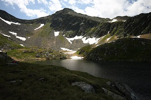 Wiegeneck Mountain, Krakau2.3 km NW
-
Hemmerfeldeck Mountain, Krakau2.3 km S
-
Predigtstuhl Mountain, Sölk3.8 km NW
-
Rantensee Lake, Krakau2.5 km NW
-
Tockner Alpe Mountain, State of Salzburg3 km SE
More nature in Austria
-
Gamskarspitze Mountain, Krakau4 km NW
-
Süßleiteck Mountain, Krakau6.7 km NE
-
Bauleiteck Mountain, Krakau4.7 km NE
-
Rupprechtseck Mountain, Krakau5.8 km E
-
Brennerfeldeck Mountain, Krakau7.1 km E
-
Schöderkogel Mountain, Krakau7.2 km E
Sources & licences
Data last updated: