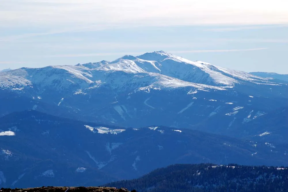
Seetaler Alpen
Located in Styria, Austria Coordinates: 47°05′00″ N 14°33′00″ E
- Elevation
- 2,092 m
- above sea level
- Local time
- UTC+01:00
- Europe/Vienna · UTC+01:00
About Seetaler Alpen
Seetaler Alpen is a mountain. Location: Styria, Austria. Elevation: 2,092 m.
The Seetal Alps (German: Seetaler Alpen) are a mountain range in the Lavanttal or Noric Alps in Austria south of the River Mur between Scheifling and Zeltweg. Their highest peak is the Zirbitzkogel (2,396 m).
Read more on Wikipedia Text: Wikipedia contributors · CC BY-SA 4.0 · shortened
At a glance
- Length
- 26 km
Source: Wikidata
In comparison
- No. 2693 of 7537 mountains in Austria by elevation
- 30 sights and natural places within 10 km Großer Winterleitensee, Kreiskogel
Nearest towns and villages
-
Obdach Municipality, Murtal District6.8 km E
-
Mühlen Municipality, Politischer Bezirk Murau6.6 km SW
-
Kulm am Zirbitz Village, Neumarkt in der Steiermark5.5 km SW
-
Jakobsberg Village, Mühlen5.5 km SW
-
Mönchegg Village, Obdach6.3 km E
-
Mühlen Village, Mühlen6.6 km SW
Nearby attractions & nature
Everything nearby-
Großer Winterleitensee Lake, Styria<0.1 km N
-
Kleiner Winterleitensee Lake, Styria1.3 km E
-
Kreiskogel Mountain, Neumarkt in der Steiermark0.3 km N
-
Frauenlacke Lake, Styria1.9 km N
-
Lindersee Lake, Styria2.1 km SE
-
Haarlacke Lake, Styria2.2 km NW
-
Wenzelalpe Mountain, Neumarkt in der Steiermark2.2 km NW
-
Lavantsee Lake, Styria3.9 km S
Sources & licences
Data last updated: · 2 independent sources