Gleichenberger Kogeln
Located in Bad Gleichenberg, Südoststeiermark District Coordinates: 46°53′31″ N 15°54′29″ E
- Elevation
- 596 m
- above sea level
- Local time
- UTC+01:00
- Europe/Vienna · UTC+01:00
About Gleichenberger Kogeln
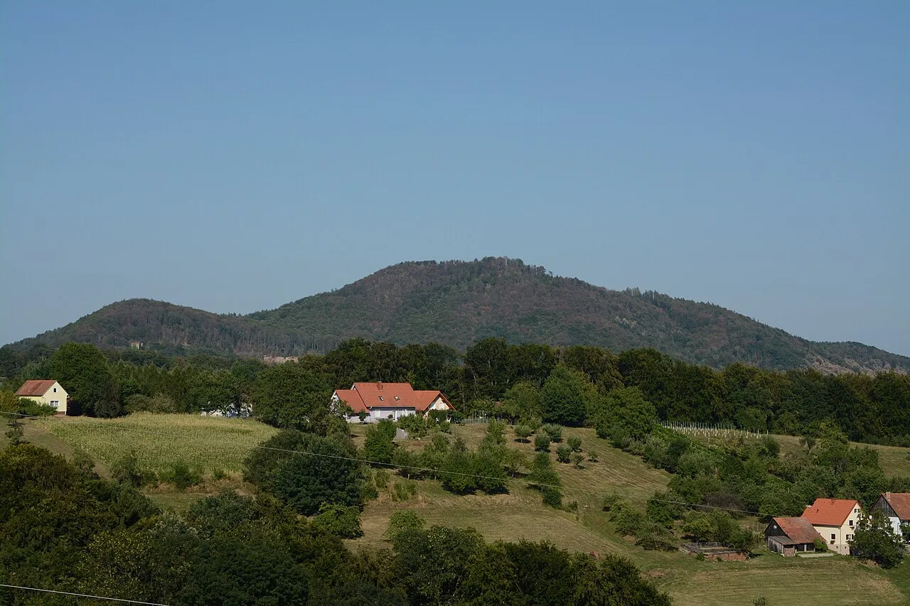
Gleichenberger Kogeln is a mountain. Location: Bad Gleichenberg, Südoststeiermark District. Elevation: 596 m.
Gleichenberger Kögel or Gleichenberge are two extinct volcanos in southern Styria, Austria. The Volcano is made up of two peaks, Gleichenberger Kogel (598 metres [1,962 ft]) and its secondary peak the Bschaidkogel (563 metres [1,847 ft]), at the same time it gives its name to the homonymous village of Bad Gleichenberg.
Read more on Wikipedia Text: Wikipedia contributors · CC BY-SA 4.0 · shortened
At a glance
- Topographic prominence
- 258 m
Source: Wikidata
In comparison
- No. 6409 of 7537 mountains in Austria by elevation
- 87 sights and natural places within 10 km Ruine Gleichenberg, Bschaidkogel
Nearest towns and villages
-
Gleichenberg Dorf Village, Bad Gleichenberg1.2 km SW
-
Klausen Village, Bad Gleichenberg1.1 km NW
-
Bad Gleichenberg Village, Bad Gleichenberg1.8 km S
-
Trautmannsdorf in Oststeiermark Village, Bad Gleichenberg2.6 km SW
-
Hofstätten Village, Bad Gleichenberg2.6 km W
-
Gossendorf Village, Feldbach2.7 km NE
Nearby attractions & nature
Everything nearby-
Bschaidkogel Mountain, Feldbach1.1 km NE
-
Bärenbach River, Styria1.2 km SW
-
Galgegg Mountain, Bad Gleichenberg2.2 km SE
-
Karlhöhe Mountain, Kapfenstein3.3 km E
-
Ruine Gleichenberg Historic site, Bad Gleichenberg1.1 km NW
-
Salzwipfel Mountain, Feldbach3.3 km NW
-
Klausenbach River, Styria2.9 km S
-
Kölldorfbach River, Styria2.9 km S
Sources & licences
Data last updated: · 2 independent sources