Deferegger Alpen
Located in Tyrol, Austria Coordinates: 46°52′28″ N 12°29′33″ E
- Elevation
- 2,386 m
- above sea level
- Local time
- UTC+01:00
- Europe/Vienna · UTC+01:00
About Deferegger Alpen
Deferegger Alpen is a mountain. Location: Tyrol, Austria. Elevation: 2,386 m.
The Villgraten Mountains (German: Villgratner Berge) or Deferegg Alps (Deferegger Alpen), also called the Defreggen Mountains (Defreggengebirge, archaically also with "ff") are a subgroup of the Austrian Central Alps within the Eastern Alps of Europe. Together with the Ankogel Group, the Goldberg Group, the Glockner Group, the Schober Group, the Kreuzeck Group, the Granatspitze Group, the Venediger Group and the Rieserferner Group, the Villgraten Mountains are part of the major mountain range, the High Tauern.
Read more on Wikipedia Text: Wikipedia contributors · CC BY-SA 4.0 · shortened
At a glance
- Length
- 44 km
Source: Wikidata
In comparison
- No. 1718 of 7537 mountains in Austria by elevation
- 51 sights and natural places within 10 km Hochalmspitze, Kugelspitze
Nearest towns and villages
-
Hopfgarten in Defereggen Municipality, Politischer Bezirk Lienz3.3 km NE
-
Plon Village, Hopfgarten in Defereggen4.7 km N
-
Außervillgraten Municipality, Politischer Bezirk Lienz6.4 km SW
-
Hopfgarten in Defereggen Village, Hopfgarten in Defereggen6 km NE
-
Hof Village, Hopfgarten in Defereggen5.6 km N
-
St. Veit in Defereggen Municipality, Politischer Bezirk Lienz7.8 km NW
Nearby attractions & nature
Everything nearby-
Hochalmspitze Mountain, Hopfgarten in Defereggen0.4 km N
-
Kugelspitze Mountain, Außervillgraten1 km SW
-
Geigensee Lake, Tyrol1.1 km SE
-
Regenstein Mountain, Hopfgarten in Defereggen1.3 km S
-
Arnhorner Mountain, Außervillgraten2.8 km S
-
Hochwand Mountain, Hopfgarten in Defereggen3.4 km NW
-
Bockstein Mountain, Hopfgarten in Defereggen3.5 km SE
-
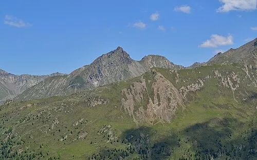 Rappler Mountain, Außervillgraten3.9 km S
More nature in Austria
-
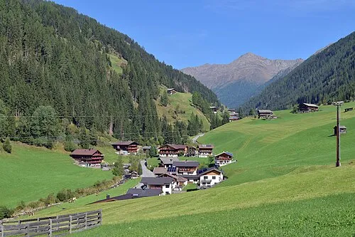 Winkeltal Natural site, Tyrol7.7 km S
-
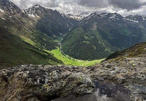 Arntal Natural site, Tyrol8.7 km W
-
Firstkogel Mountain, Hopfgarten in Defereggen4.2 km NE
-
Schneidegg Mountain, Hopfgarten in Defereggen5.1 km E
-
Gölbner Mountain, Anras5.6 km S
-
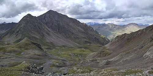 Hochgrabe Mountain, Außervillgraten6 km SW
Sources & licences
Data last updated: · 2 independent sources