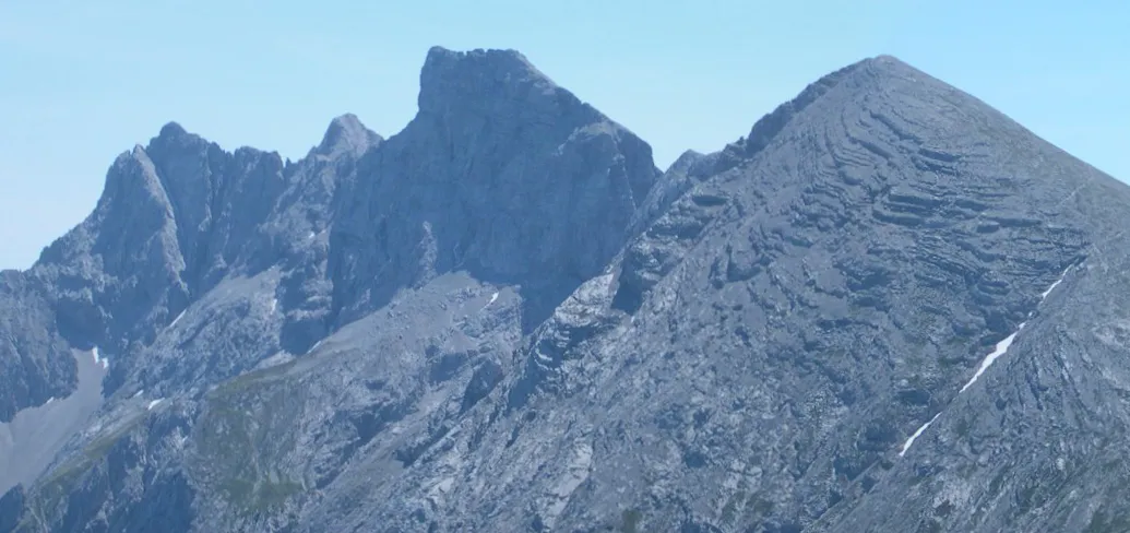
- Elevation
- 2,414 m
- above sea level
- Local time
- UTC+01:00
- Europe/Vienna · UTC+01:00
- Airports
- INN Innsbruck Airport4 km
- BZO Bolzano Airport93 km
About Brandjoch
Brandjoch is a mountain. Location: Innsbruck, Innsbruck Stadt. Elevation: 2,414 m.
The Hintere Brandjochspitze (2,599 m (AA)) is a summit roughly 200 metres northwest of the Vordere Brandjochspitze in the Nordkette range above Innsbruck. It rises above its "forward" neighbour by around 40 metres. The summit may be reached in 20 minutes from the Vordere Brandjochspitze at climbing grade UIAA I through a gully left of the arête. A more difficult route runs along the western arête (grade III-) from the Hohe Warte.
Source: Wikipedia · CC BY-SA 4.0
Photos of Brandjoch
-
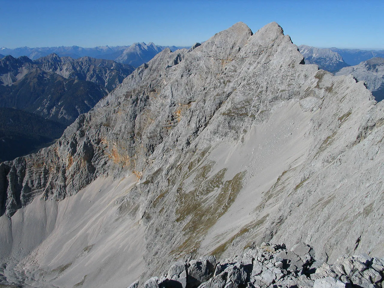
Praxmarerkarspitze No machine-readable author provided. Luidger assumed · CC BY-SA 3.0 -
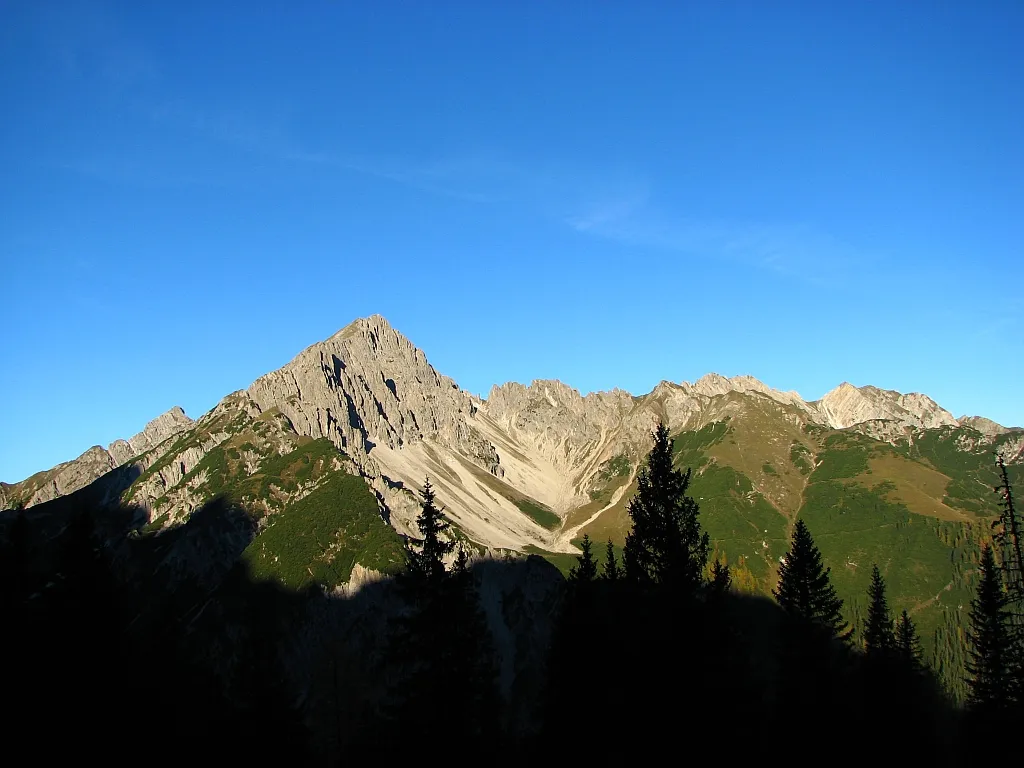
Erlspitze Tirolerbergwelten · CC BY-SA 3.0 -
Achselkopf Hermann Hammer · CC0 -
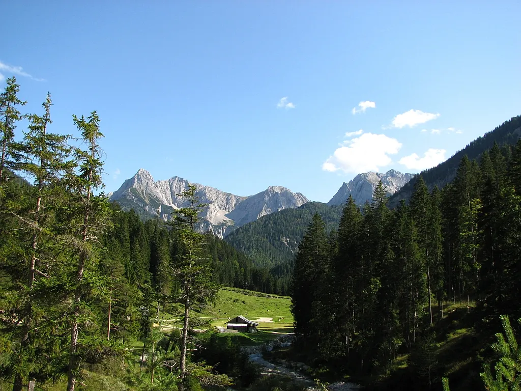
Gleirschtal Tirolerbergwelten · CC BY-SA 3.0 -
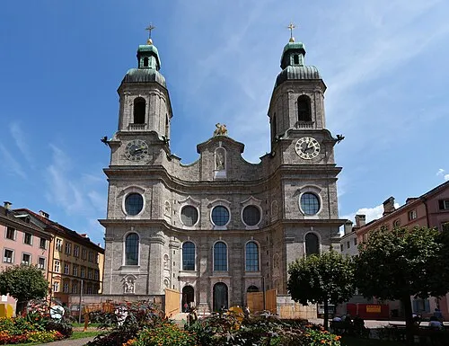
cathedral Innsbruck Simon Legner · CC BY-SA 4.0


Climate of Brandjoch
This month · November
A cold month
Day -3° · Night -9° · Rain 77 mm
- Hottest month
- July (day 12°)
- Coldest month
- January (night -13°)
- Wettest month
- July (150 mm)
- Driest month
- February (52 mm)
Bars: average monthly low and high temperature. Below: precipitation. Monthly averages for 1970–2000 at about 18 km resolution, adjusted for elevation. Highlighted months are mild and relatively dry. Source: WorldClim 2.1 (CC BY 4.0).
Show values as a table
| Month | Jan | Feb | Mar | Apr | May | Jun | Jul | Aug | Sep | Oct | Nov | Dec |
|---|---|---|---|---|---|---|---|---|---|---|---|---|
| Average high (°C) | -6° | -5° | -2° | 1° | 7° | 10° | 12° | 12° | 8° | 4° | -3° | -6° |
| Average low (°C) | -13° | -13° | -10° | -7° | -3° | 0° | 2° | 2° | -1° | -4° | -9° | -12° |
| Precipitation (mm) | 56 | 52 | 68 | 79 | 103 | 140 | 150 | 137 | 95 | 75 | 77 | 66 |
How to get to Brandjoch
The nearest airport is Innsbruck Airport (INN), 4 km to the south as the crow flies. The nearest large city is Innsbruck, 6 km to the southeast.
Airports
- Innsbruck Airport (INN) Innsbruck 4 kmsouth
- Bolzano Airport (BZO) Bolzano (BZ) 93 kmsouth
- Memmingen Allgau Airport (FMM) Memmingen 112 kmnorthwest
Nearby large cities
- Innsbruck Population: 132.5K 6 kmsoutheast
- Munich Population: 1.5M 95 kmnorth
- Augsburg Population: 301.1K 124 kmnorth
- Salzburg Population: 157.2K 140 kmnortheast
- Ulm Population: 120.5K 158 kmnorthwest
Straight-line distances; road distances are longer. Airport data: OurAirports.
Day trips from Brandjoch
Within 100 km: 312 historic and cultural sites, 4,799 natural sites, 1,118 lakes, rivers and coasts.
0–25 km392 places
- Wildsee Lake 11 kmW
- Taxersee Lake 18 kmSW
- Vorderskopf Mountain 23 kmN
- Zeindlkopf Mountain 9 kmNW
25–60 km2,074 places
- Bayerisches Oberland Mountain 39 kmN
- Schloss Hirschberg am Haarsee Historic site 58 kmN
- Zireiner See Lake 41 kmNE
- Wild See Lake 38 kmSE
60–100 km3,763 places
- Lai da Minschun Lake 98 kmSW
- Lai da Sesvenna Lake 96 kmSW
- Lajet da Lischana Lake 96 kmSW
- Ils Lajets Lake 97 kmSW
Straight-line distances.
Nearest towns and villages
-
 Kranebitten Neighbourhood, Innsbruck3.7 km S
-
Hötting Neighbourhood, Innsbruck4.4 km SE
-
Innsbruck City, Innsbruck6.2 km SE
-
 Hungerburg Neighbourhood, Innsbruck5.4 km E
-
Zirl Municipality, Politischer Bezirk Innsbruck Land4.5 km W
-
 Pradl Neighbourhood, Innsbruck7.3 km SE
Nearby attractions & nature
Everything nearby-
Vordere Brandjochspitze Mountain, Innsbruck0.7 km NE
-
Kleiner Solstein Mountain, Zirl1.3 km W
-
Frau Hitt Mountain, Innsbruck1.4 km NE
-
Achselkopf Mountain, Innsbruck2.2 km SE
-
Grosser Solstein Mountain, Zirl2 km W
-
Erlspitze Mountain, Zirl4.3 km NW
-
Kemacher Mountain, Innsbruck3.1 km NE
-
Höchenberg Mountain, Zirl3.1 km SW
More nature in Austria
-
Praxmarerkarspitze Mountain, Innsbruck7.5 km NE
-
Hafelekarspitze Mountain, Innsbruck4.2 km NE
-
Gleirschspitze Mountain, Innsbruck5.2 km E
-
Hoher Gleirsch Mountain, Innsbruck5.7 km N
-
Berg Isel Mountain, Innsbruck7.5 km SE
-
Bergisel Mountain, Innsbruck7.8 km SE
Sources & licences
Data last updated: · 2 independent sources