Schwarzlochkopf
Located in Flirsch, Landeck Coordinates: 47°10′34″ N 10°26′03″ E
- Elevation
- 2,739 m
- above sea level
- Local time
- UTC+01:00
- Europe/Vienna · UTC+01:00
About Schwarzlochkopf
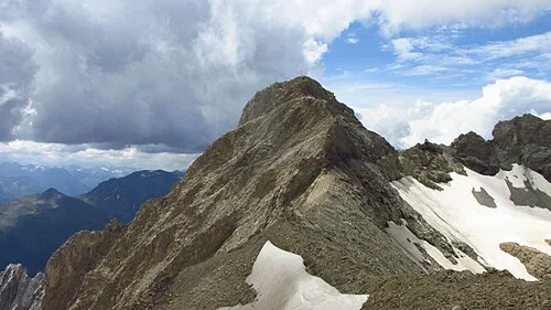
Schwarzlochkopf is a mountain. Location: Flirsch, Landeck. Elevation: 2,739 m.
In comparison
- No. 760 of 7537 mountains in Austria by elevation
- 71 sights and natural places within 10 km Stierlochkopf, Griesmuttekopf
Nearest towns and villages
Nearby attractions & nature
Everything nearby-
Stierlochkopf Mountain, Zams0.3 km N
-
Griesmuttekopf Mountain, Flirsch0.6 km SE
-
Grießlspitze Mountain, Flirsch0.9 km N
-
Rot Spitze Mountain, Kaisers1.6 km NW
-
Stierkopf Mountain, Flirsch1.6 km W
-
 Dawinkopf Mountain, Grins3.1 km E
-
Seekopf Mountain, Zams2.6 km E
-
Feuerkopf Mountain, Strengen2.2 km SE
Sources & licences
Data last updated: