Wazekopf
Located in Kaunertal, Landeck Coordinates: 46°59′00″ N 10°47′00″ E
- Elevation
- 2,755 m
- above sea level
- Local time
- UTC+01:00
- Europe/Vienna · UTC+01:00
About Wazekopf
Wazekopf is a mountain. Location: Kaunertal, Landeck. Elevation: 2,755 m.
In comparison
- No. 715 of 7537 mountains in Austria by elevation
- 46 sights and natural places within 10 km Watzespitze, Rostitzkopf
Nearest towns and villages
-
St. Leonhard im Pitztal Municipality, Politischer Bezirk Imst4.9 km E
-
Kaunertal Village, Kaunertal6 km NW
-
Plangeross Village, St. Leonhard im Pitztal6.5 km E
-
Grasse Village, Kaunertal5.3 km NW
-
Feichten Village, Kaunertal5.9 km NW
-
Vergötschen Village, Kaunertal6.1 km NW
Nearby attractions & nature
Everything nearby-
Watzespitze Mountain, Kaunertal1.2 km NE
-
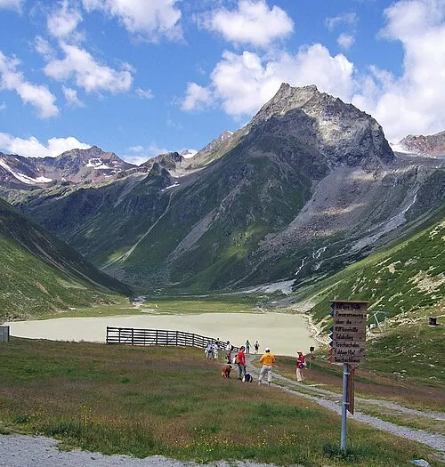 Seekogel Mountain, St. Leonhard im Pitztal2.5 km SE
-
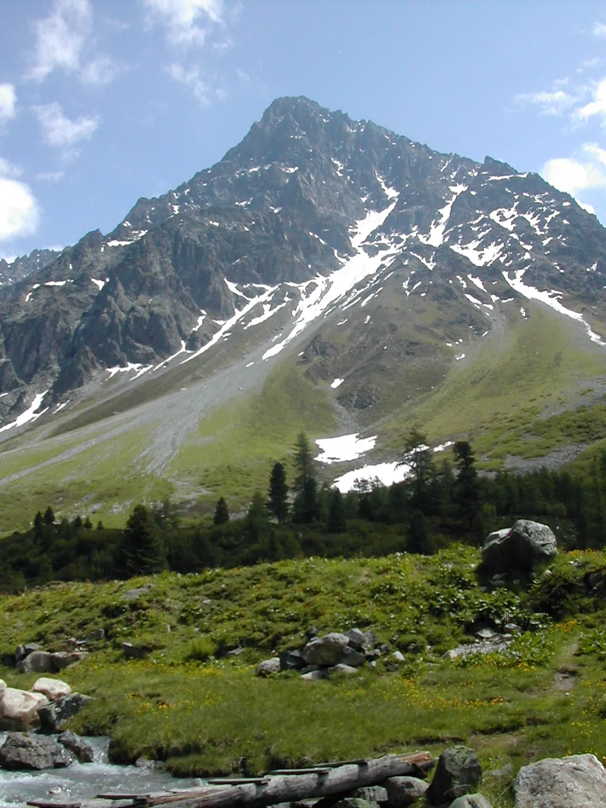 Schwabenkopf Mountain, Kaunertal2.7 km N
-
Rostitzkopf Mountain, Kaunertal1.9 km SE
-
Löcher Ferner Natural site, Tyrol2.2 km SE
-
Verpeil Spitze Mountain, St. Leonhard im Pitztal2.7 km NE
-
Mooskopf Mountain, Kaunertal3.6 km N
-
Schweikertkopf Mountain, St. Leonhard im Pitztal4.5 km NE
More nature in Austria
-
Gsahlkopf Mountain, Kaunertal5.7 km N
-
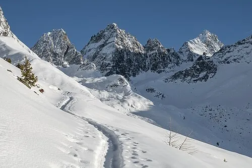 Gallruthkopf Mountain, Kaunertal7.5 km N
-
Hohes Riff Mountain, Kaunertal6.3 km W
-
Roter Schroffen Mountain, Kaunertal7.5 km NW
-
Adams Kogl Mountain, Kaunertal8.4 km SW
-
Eiskasten Spitze Mountain, Kaunertal5.9 km S
Sources & licences
Data last updated: