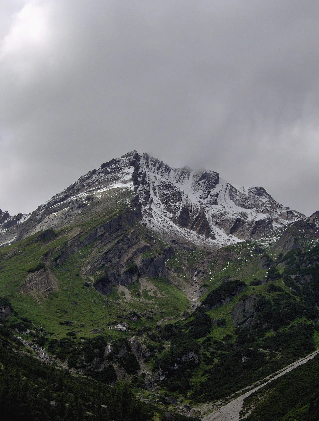
Muttekopf
Located in Imst, Politischer Bezirk Imst Coordinates: 47°16′00″ N 10°39′00″ E
- Elevation
- 2,774 m
- above sea level
- Local time
- UTC+01:00
- Europe/Vienna · UTC+01:00
About Muttekopf
Muttekopf is a mountain. Location: Imst, Politischer Bezirk Imst. Elevation: 2,774 m.
The Muttekopf (Imster Muttekopf, 2,774 m (AA)) is a lookout mountain in the Lechtal Alps in the Austrian state of Tyrol. It lies northwest of Imst and immediately south of the Hahntennjoch saddle. The path runs from Imst along a road or through the narrow Rosengarten Gorge to Hochimst. From there it takes about 2 hours on a footpath to reach the Muttekopf Hut (1,934 m above sea level (AA)).
Read more on Wikipedia Text: Wikipedia contributors · CC BY-SA 4.0 · shortened
In comparison
- No. 668 of 7537 mountains in Austria by elevation
- 42 sights and natural places within 10 km Maldonkopf, Hintere Plattein Spitze
Nearest towns and villages
-
Imst Town, Imst7.2 km E
-
Boden Village, Pfafflar3.8 km NW
-
Pfafflar Municipality, Politischer Bezirk Reutte5.2 km NW
-
Schönwies Municipality, Landeck6.5 km S
-
Mils bei Imst Municipality, Politischer Bezirk Imst6.4 km S
-
Mils bei Imst Village, Mils bei Imst7 km S
Nearby attractions & nature
Everything nearby-
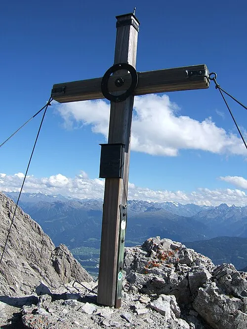 Maldonkopf Mountain, Imst1.3 km E
-
Hintere Plattein Spitze Mountain, Imst1.3 km E
-
Ödkarlekopf Mountain, Imst1.9 km S
-
Pleiskopf Mountain, Imst1.6 km S
-
Maileskar Spitze Mountain, Pfafflar2.2 km NW
-
Maldongrat Mountain, Imst2.5 km NE
-
Vordere Plattein Spitze Mountain, Imst2.5 km E
-
Hahnleskopf Mountain, Imst3.1 km NE
More nature in Austria
-
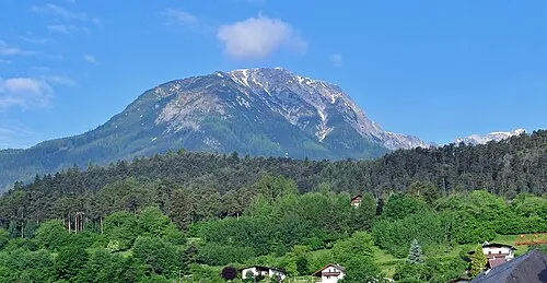 Laaggers Mountain, Imst3.9 km S
-
Grosse Schlenkerspitze Mountain, Imst3.1 km SW
-
Reich Spitze Mountain, Imst3.8 km W
-
Namloser Wetterspitze Mountain, Imst6.3 km N
Sources & licences
Data last updated: · 2 independent sources