Aperer Pfaff
Located in Sölden, Politischer Bezirk Imst Coordinates: 46°58′18″ N 11°08′24″ E
- Elevation
- 3,353 m
- above sea level
- Local time
- UTC+01:00
- Europe/Vienna · UTC+01:00
- Airports
- INN Innsbruck Airport36 km
- BZO Bolzano Airport59 km
About Aperer Pfaff
Aperer Pfaff is a mountain. Location: Sölden, Politischer Bezirk Imst. Elevation: 3,353 m. The nearest airport is Innsbruck Airport (36 km). Nearby sights include Zuckerhütl and Zuckerhütl Westgipfel.
Photos of Aperer Pfaff
-
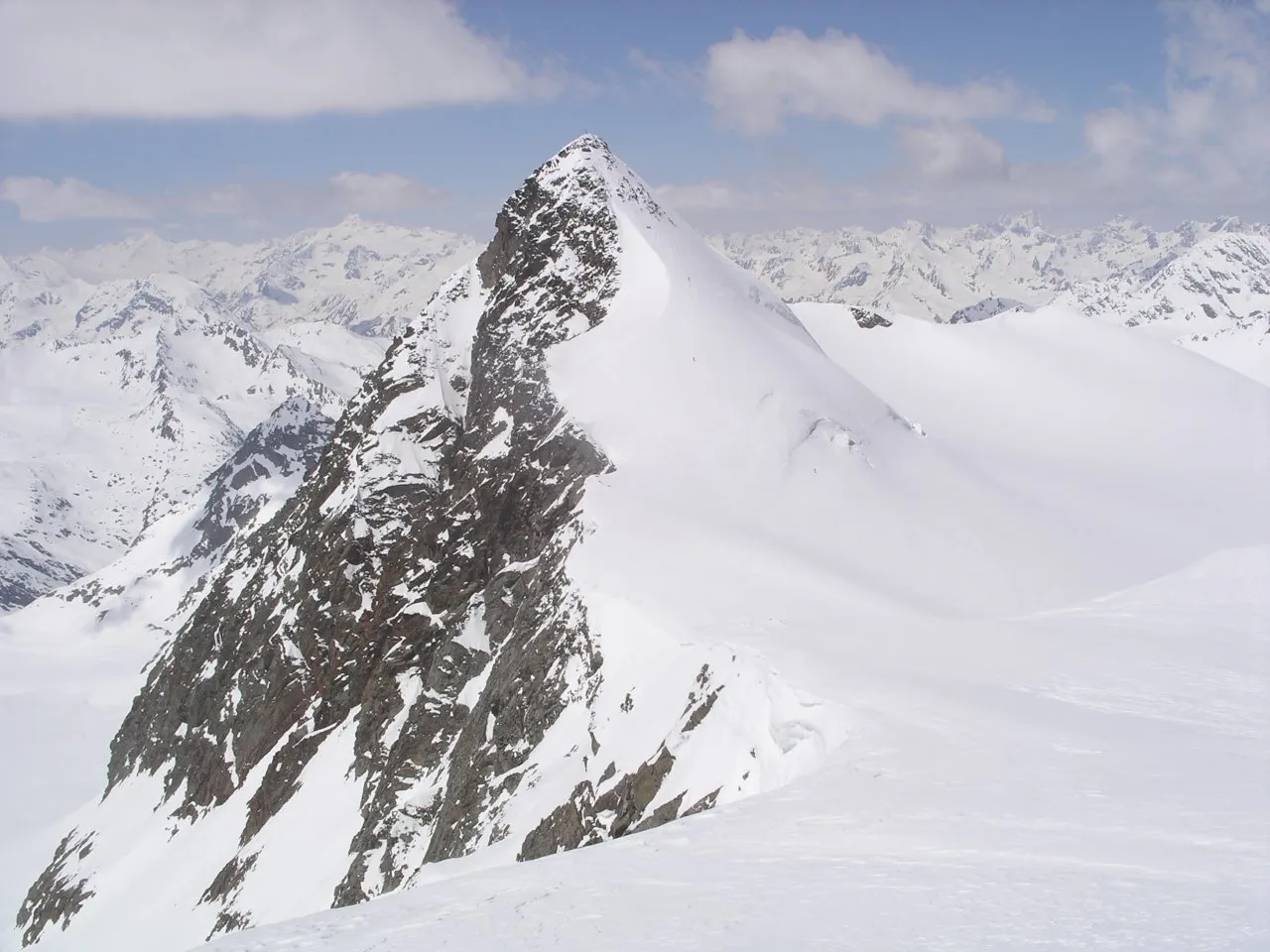
Zuckerhütl Wikimedia Commons · CC BY-SA 3.0 -
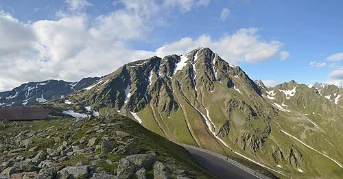
Monte Rombo Feel free to use my photos, but please mention me as the author and if you want send me a message . or · CC BY-SA 3.0 at -
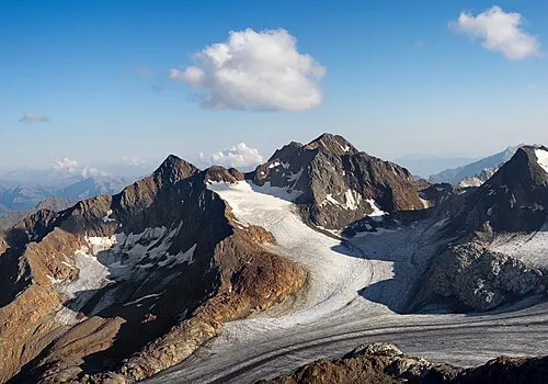
Hochgewänd Jörg Braukmann · CC BY-SA 4.0 -
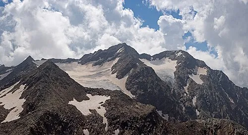
Montarso di Ponente Jörg Braukmann · CC BY-SA 4.0 -
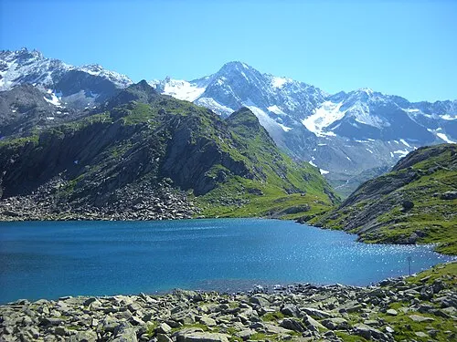
Il Capro giovanni bidi · CC BY 3.0


Climate of Aperer Pfaff
This month · November
A cold month
Day -8° · Night -13° · Rain 78 mm
- Hottest month
- July (day 5°)
- Coldest month
- February (night -18°)
- Wettest month
- July (113 mm)
- Driest month
- February (59 mm)
Bars: average monthly low and high temperature. Below: precipitation. Monthly averages for 1970–2000 at about 18 km resolution, adjusted for elevation. Highlighted months are mild and relatively dry. Source: WorldClim 2.1 (CC BY 4.0).
Show values as a table
| Month | Jan | Feb | Mar | Apr | May | Jun | Jul | Aug | Sep | Oct | Nov | Dec |
|---|---|---|---|---|---|---|---|---|---|---|---|---|
| Average high (°C) | -12° | -11° | -9° | -7° | -2° | 2° | 5° | 5° | 2° | -2° | -8° | -10° |
| Average low (°C) | -17° | -18° | -16° | -13° | -8° | -6° | -3° | -3° | -5° | -8° | -13° | -16° |
| Precipitation (mm) | 65 | 59 | 79 | 82 | 86 | 107 | 113 | 103 | 77 | 68 | 78 | 70 |
How to get to Aperer Pfaff
The nearest airport is Innsbruck Airport (INN), 36 km to the northeast as the crow flies. The nearest large city is Innsbruck, 38 km to the northeast.
Airports
- Innsbruck Airport (INN) Innsbruck 36 kmnortheast
- Bolzano Airport (BZO) Bolzano (BZ) 59 kmsouth
- Memmingen Allgau Airport (FMM) Memmingen 132 kmnorthwest
Nearby large cities
- Innsbruck Population: 132.5K 38 kmnortheast
- Munich Population: 1.5M 134 kmnorth
- Augsburg Population: 301.1K 157 kmnorth
- Salzburg Population: 157.2K 171 kmnortheast
- Ulm Population: 120.5K 181 kmnorthwest
Straight-line distances; road distances are longer. Airport data: OurAirports.
Day trips from Aperer Pfaff
Within 100 km: 125 historic and cultural sites, 5,353 natural sites, 905 lakes, rivers and coasts.
0–25 km253 places
- Wilder See Lake 23 kmNW
- Wannensee Lake 6 kmSW
- Seekar See Lake 5 kmW
- Schwarzsee Lake 14 kmW
25–60 km1,342 places
- Kapfkopf Mountain 59 kmW
- Punta di Rassas Mountain 58 kmSW
- Craist'Ota Mountain 59 kmSW
- Rassaserspitz Mountain 59 kmSW
60–100 km4,788 places
- Bayerisches Oberland Mountain 78 kmN
- Schloss Hirschberg am Haarsee Historic site 94 kmN
- Spadalone Mountain 98 kmS
- Lake Davos Lake 99 kmW
Straight-line distances.
Nearest towns and villages
-
Mutterbergalm Village, Neustift im Stubaital4.8 km N
-
Solden Village, Sölden11 km W
-
Zwieselstein Village, Sölden9.3 km SW
-
Gurgl Village, Sölden13 km SW
-
Windau Village, Sölden9.4 km W
-
Corvara Village, Moso in Passiria/Moos in Passeier11 km S
Nearby attractions & nature
Everything nearby-
Zuckerhütl Mountain, Sölden1.3 km SE
-
Zuckerhütl Westgipfel Mountain, Sölden1.1 km SE
-
Pfaffenschneid Mountain, Sölden1.3 km S
-
Südlicher Fernaukogel Mountain, Neustift im Stubaital1.4 km N
-
Schaufelspitze Mountain, Sölden2 km W
-
Gaiskogel Mountain, Sölden2 km SW
-
Nördlicher Fernaukogel Mountain, Neustift im Stubaital2.2 km N
-
Schussgrubenkogel Mountain, Sölden2.4 km W
More nature in Austria
-
Kleiner Isidor Mountain, Sölden2.5 km W
-
Stubaier Wildspitze Mountain, Sölden3.3 km W
-
Schwarzwandspitze - Croda Nera Mountain, Sölden3.6 km SE
-
Östlicher Daunkogel Mountain, Sölden3.8 km NW
-
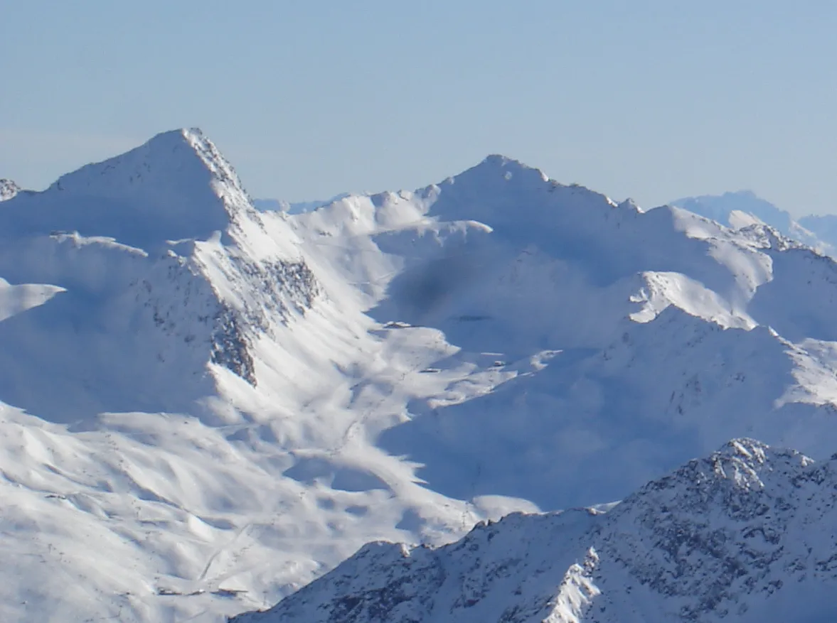 Schermer-Spitze Mountain, Sölden9.2 km SW
-
Nebelkogl Mountain, Sölden5 km W
Sources & licences
Data last updated: