Wilder Rotkogl
Located in Sölden, Politischer Bezirk Imst Coordinates: 46°57′00″ N 11°04′00″ E
- Elevation
- 2,424 m
- above sea level
- Local time
- UTC+01:00
- Europe/Vienna · UTC+01:00
- Airports
- INN Innsbruck Airport40 km
- BZO Bolzano Airport58 km
About Wilder Rotkogl
Wilder Rotkogl is a mountain. Location: Sölden, Politischer Bezirk Imst. Elevation: 2,424 m. The nearest airport is Innsbruck Airport (40 km). Nearby sights include Wannensee and Wannenkogl.
Photos of Wilder Rotkogl
-
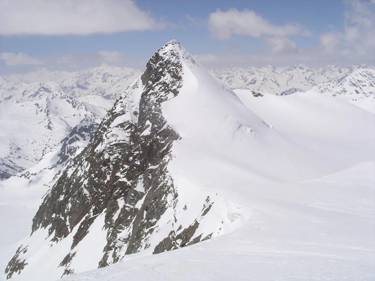
Zuckerhütl Wikimedia Commons · CC BY-SA 3.0 -
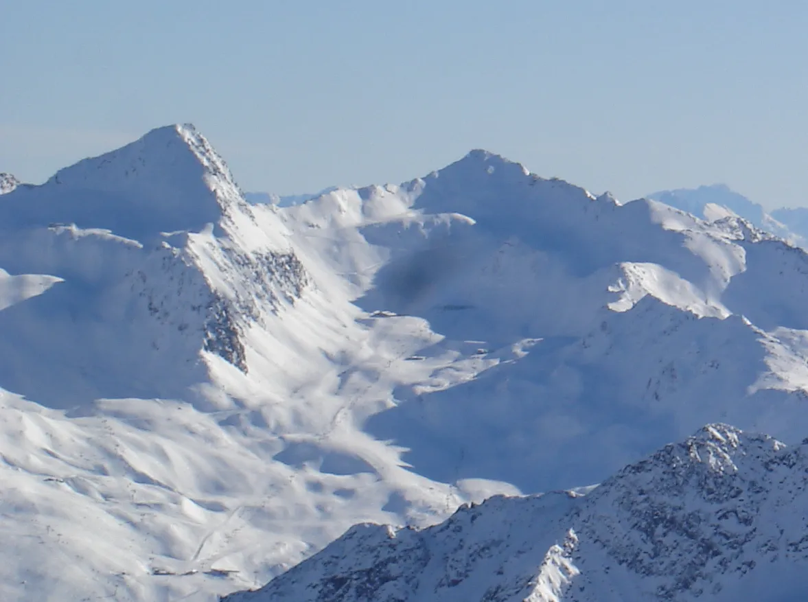
Schermer-Spitze sanja mm · CC BY 3.0 -
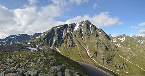
Monte Rombo Feel free to use my photos, but please mention me as the author and if you want send me a message . or · CC BY-SA 3.0 at


Climate of Wilder Rotkogl
This month · November
A cold month
Day -2° · Night -7° · Rain 78 mm
- Hottest month
- July (day 11°)
- Coldest month
- February (night -12°)
- Wettest month
- July (113 mm)
- Driest month
- February (59 mm)
Bars: average monthly low and high temperature. Below: precipitation. Monthly averages for 1970–2000 at about 18 km resolution, adjusted for elevation. Highlighted months are mild and relatively dry. Source: WorldClim 2.1 (CC BY 4.0).
Show values as a table
| Month | Jan | Feb | Mar | Apr | May | Jun | Jul | Aug | Sep | Oct | Nov | Dec |
|---|---|---|---|---|---|---|---|---|---|---|---|---|
| Average high (°C) | -6° | -5° | -3° | -1° | 4° | 8° | 11° | 11° | 8° | 4° | -2° | -4° |
| Average low (°C) | -11° | -12° | -10° | -7° | -2° | 1° | 3° | 3° | 1° | -2° | -7° | -10° |
| Precipitation (mm) | 65 | 59 | 79 | 82 | 86 | 107 | 113 | 103 | 77 | 68 | 78 | 70 |
How to get to Wilder Rotkogl
The nearest airport is Innsbruck Airport (INN), 40 km to the northeast as the crow flies. The nearest large city is Innsbruck, 43 km to the northeast.
Airports
- Innsbruck Airport (INN) Innsbruck 40 kmnortheast
- Bolzano Airport (BZO) Bolzano (BZ) 58 kmsouth
- Sankt Gallen Altenrhein Airport (ACH) St. Gallen 129 kmnorthwest
Nearby large cities
- Innsbruck Population: 132.5K 43 kmnortheast
- Munich Population: 1.5M 137 kmnorth
- Augsburg Population: 301.1K 159 kmnorth
- Salzburg Population: 157.2K 177 kmnortheast
- Ulm Population: 120.5K 180 kmnorthwest
Straight-line distances; road distances are longer. Airport data: OurAirports.
Day trips from Wilder Rotkogl
Within 100 km: 119 historic and cultural sites, 5,438 natural sites, 911 lakes, rivers and coasts.
0–25 km262 places
- Wilder See Lake 20 kmNW
- Wannensee Lake 1 kmN
- Seekar See Lake 2 kmN
- Schwarzsee Lake 9 kmW
25–60 km1,329 places
- Lai da Sesvenna Lake 57 kmSW
- Lajet da Lischana Lake 58 kmW
- Ils Lajets Lake 58 kmSW
- Lai d'Immez Lake 58 kmSW
60–100 km4,877 places
- Bayerisches Oberland Mountain 81 kmN
- Schloss Hirschberg am Haarsee Historic site 96 kmN
- Spadalone Mountain 94 kmS
- Lake Davos Lake 94 kmW
Straight-line distances.
Nearest towns and villages
Nearby attractions & nature
Everything nearby-
Wannensee Lake, Tyrol<0.1 km N
-
Wannenkogl Mountain, Sölden2.2 km SE
-
Seekar See Lake, Sölden2.5 km N
-
Corno del Passo Mountain, Sölden3.1 km SE
-
Nebelkogl Mountain, Sölden3.4 km N
-
Schussgrubenkogel Mountain, Sölden3.8 km NE
-
Monte Rombo Mountain, Moso in Passiria/Moos in Passeier5 km SE
-
Kleiner Isidor Mountain, Sölden4.1 km NE
More nature in Austria
-
Zuckerhütl Mountain, Sölden6.8 km E
-
Schermer-Spitze Mountain, Sölden5.7 km S
-
Corno del Passo Mountain, Sölden4.1 km SE
-
Stubaier Wildspitze Mountain, Sölden4.4 km NE
-
Östlicher Daunkogel Mountain, Sölden4.6 km NE
-
Gaiskogel Mountain, Sölden4.7 km E
Sources & licences
Data last updated: