Wenns
Located in Politischer Bezirk Imst, Tyrol Coordinates: 47°09′07″ N 10°43′08″ E
- Population
- 2,044
- 2K
- Elevation
- 1,175 m
- above sea level
- Local time
- UTC+01:00
- Europe/Vienna · UTC+01:00
- Places inside
- 9
- listed under Wenns
About Wenns
Wenns is a municipality. Location: Politischer Bezirk Imst, Tyrol. Population: 2,044. Elevation: 1,175 m.
In comparison
- No. 13 of 24 places in Politischer Bezirk Imst by population
- Nearest larger town: Arzl im Pitztal, 5 km NE
- 31 sights and natural places within 10 km Tallest electricity pylon in Austria, Gampelkopf
- Listed here: Village: 8, Landmark: 1
Places in Wenns
9 places-
Wenns Village2K
-
Blons Village
-
Graslehen Village
-
Hochasten Village
-
Larchach Village
-
Oberleins Village
-
Ried Village
-
Sonnenberg Village
-
Tallest electricity pylon in Austria Landmark
Nearby attractions & nature
Everything nearby-
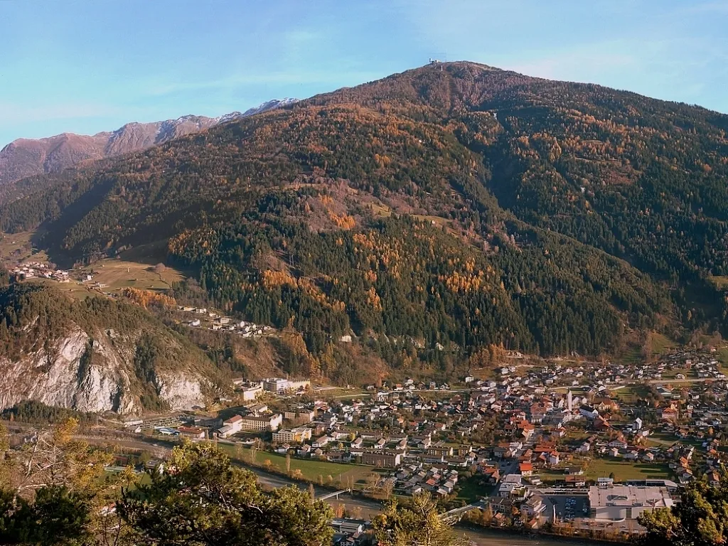 Venetberg Mountain, Fließ4.5 km W
-
Hohe Aifner Spitze Mountain, Kaunerberg5.4 km S
-
Gampelkopf Mountain, Zams4.1 km NW
-
Sechszeiger = Leiner Kögele Mountain, Jerzens5.1 km E
-
Zeigerberg Mountain, Jerzens5.1 km E
-
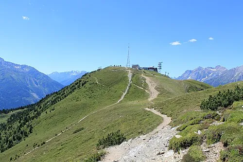 Krahberg Mountain, Zams7 km W
-
Hoher Aifenspitze Mountain, Jerzens5.9 km S
-
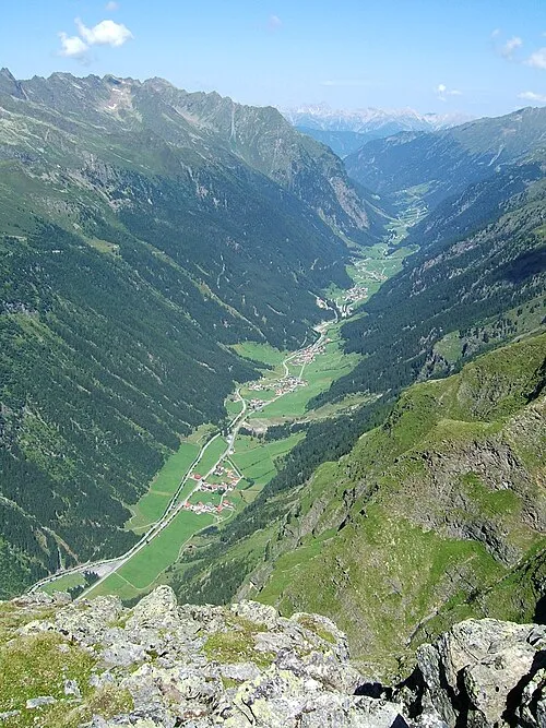 Pitztal Natural site, Tyrol6.3 km SE
Sources & licences
Data last updated: