Südliche Sonnenspitz
Located in Scharnitz, Politischer Bezirk Innsbruck Land Coordinates: 47°23′11″ N 11°28′39″ E
- Elevation
- 2,668 m
- above sea level
- Local time
- UTC+01:00
- Europe/Vienna · UTC+01:00
- Airports
- INN Innsbruck Airport17 km
- BZO Bolzano Airport104 km
About Südliche Sonnenspitz
Südliche Sonnenspitz is a mountain. Location: Scharnitz, Politischer Bezirk Innsbruck Land. Elevation: 2,668 m. The nearest airport is Innsbruck Airport (17 km). Nearby sights include Nördliche Sonnenspitz and Laliderer Spitze.
Photos of Südliche Sonnenspitz
-
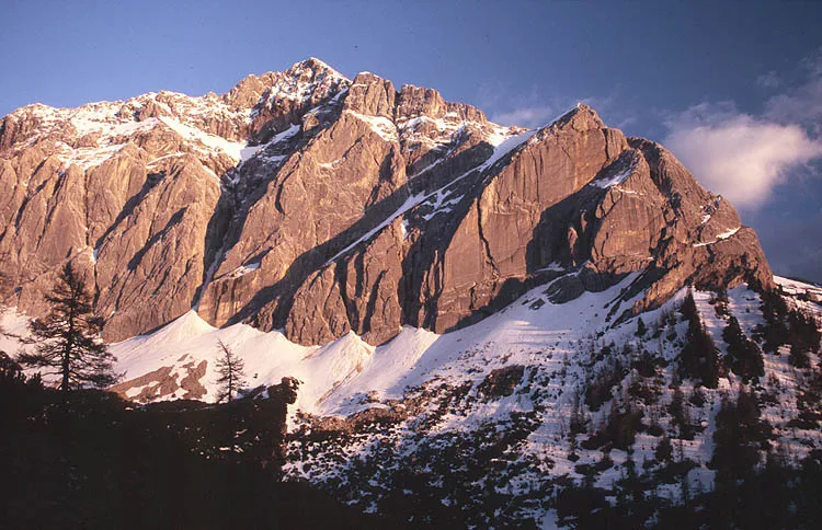
Speckkar Spitze Wikimedia Commons · CC BY-SA 3.0 -
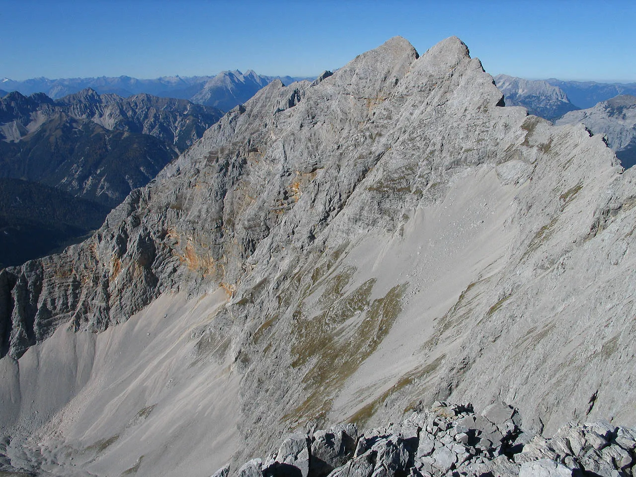
Praxmarerkarspitze No machine-readable author provided. Luidger assumed · CC BY-SA 3.0 -
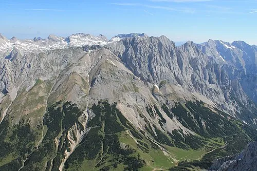
Gamskarl Spitze Luidger · CC BY 3.0 -
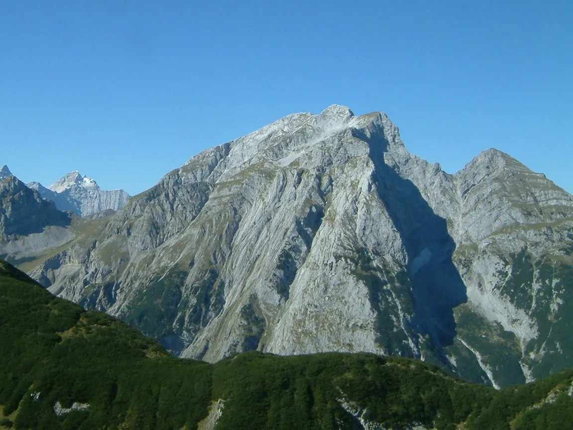
Gamsjoch Deconstruct · CC BY-SA 3.0 -
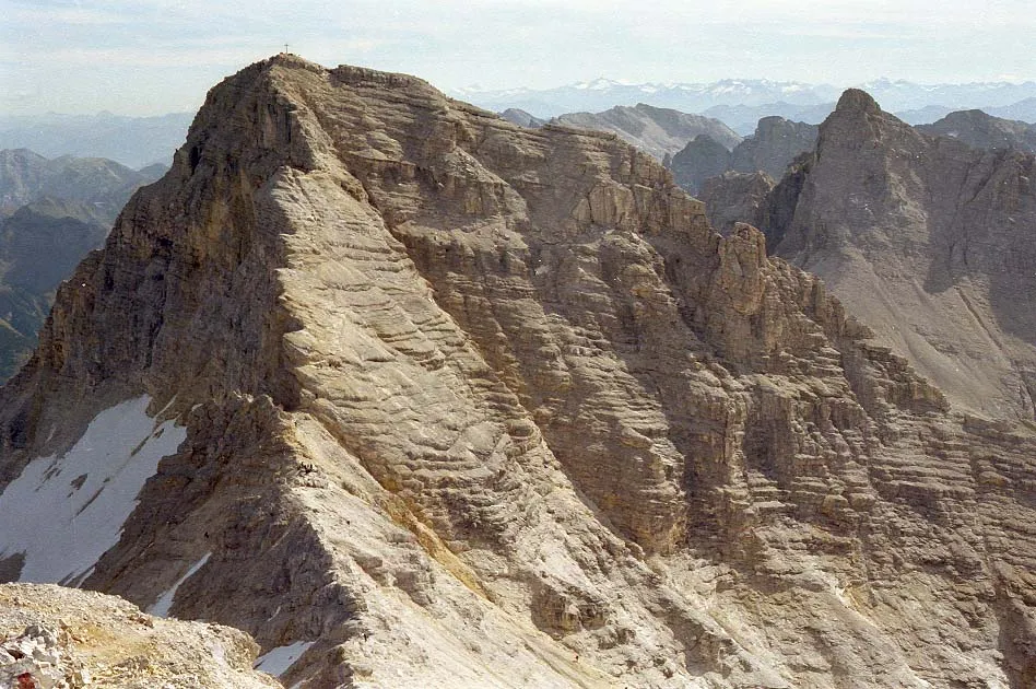
Birkkarspitze Wikimedia Commons · CC BY-SA 3.0


Climate of Südliche Sonnenspitz
This month · November
A cold month
Day -4° · Night -10° · Rain 95 mm
- Hottest month
- July (day 10°)
- Coldest month
- January (night -14°)
- Wettest month
- July (169 mm)
- Driest month
- February (66 mm)
Bars: average monthly low and high temperature. Below: precipitation. Monthly averages for 1970–2000 at about 18 km resolution, adjusted for elevation. Highlighted months are mild and relatively dry. Source: WorldClim 2.1 (CC BY 4.0).
Show values as a table
| Month | Jan | Feb | Mar | Apr | May | Jun | Jul | Aug | Sep | Oct | Nov | Dec |
|---|---|---|---|---|---|---|---|---|---|---|---|---|
| Average high (°C) | -8° | -7° | -4° | -2° | 4° | 7° | 10° | 10° | 6° | 2° | -4° | -6° |
| Average low (°C) | -14° | -14° | -11° | -8° | -4° | -1° | 1° | 1° | -2° | -5° | -10° | -12° |
| Precipitation (mm) | 70 | 66 | 88 | 101 | 123 | 162 | 169 | 153 | 108 | 87 | 95 | 83 |
How to get to Südliche Sonnenspitz
The nearest airport is Innsbruck Airport (INN), 17 km to the southwest as the crow flies. The nearest large city is Innsbruck, 15 km to the southwest.
Airports
- Innsbruck Airport (INN) Innsbruck 17 kmsouthwest
- Bolzano Airport (BZO) Bolzano (BZ) 104 kmsouth
- Munich Airport (MUC) Munich 110 kmnorth
Nearby large cities
- Innsbruck Population: 132.5K 15 kmsouthwest
- Munich Population: 1.5M 84 kmnorth
- Augsburg Population: 301.1K 118 kmnorth
- Salzburg Population: 157.2K 126 kmeast
- Ingolstadt Population: 120.7K 153 kmnorth
Straight-line distances; road distances are longer. Airport data: OurAirports.
Day trips from Südliche Sonnenspitz
Within 100 km: 361 historic and cultural sites, 4,555 natural sites, 1,181 lakes, rivers and coasts.
0–25 km413 places
- Wildsee Lake 24 kmW
- Achen Lake Lake 20 kmNE
- Delpsee Lake 13 kmN
- Vorderskopf Mountain 13 kmN
25–60 km2,085 places
- Bayerisches Oberland Mountain 31 kmN
- Schloss Hirschberg am Haarsee Historic site 51 kmN
- Zireiner See Lake 27 kmE
- Wild See Lake 44 kmS
60–100 km3,599 places
- Frauenchiemsee Island 89 kmNE
- Herreninsel Island 87 kmNE
- elf-pavlik's tent Historic site 89 kmN
- Kapfkopf Mountain 88 kmW
Straight-line distances.
Nearest towns and villages
Nearby attractions & nature
Everything nearby-
Nördliche Sonnenspitz Mountain, Scharnitz0.6 km NE
-
Laliderer Spitze Mountain, Scharnitz1.8 km E
-
Rossloch Natural site, Tyrol2.1 km W
-
Gamskarl Spitze Mountain, Scharnitz2.8 km SE
-
Dreizinkenspitze Mountain, Scharnitz2.4 km E
-
Sunntigerspitze Mountain, Absam2.4 km S
-
Birkkarspitze Mountain, Scharnitz4.1 km NW
-
Kaltwasserkarspitze Mountain, Scharnitz2.8 km NW
More nature in Austria
-
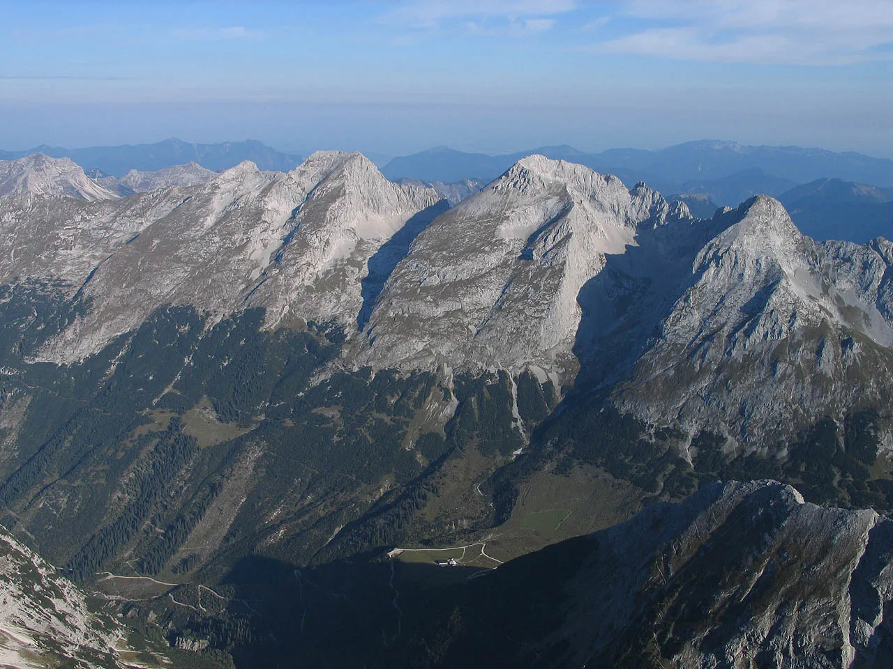 Vogelkarspitze Mountain, Scharnitz8.4 km NW
-
Grubenkarspitze Mountain, Scharnitz3.4 km E
-
Östliche Ödkarspitze Mountain, Scharnitz4.6 km NW
-
Mittlere Ödkarspitze Mountain, Scharnitz4.9 km NW
-
Seekarspitze Mountain, Scharnitz7.9 km NW
-
Westliche Ödkarspitze Mountain, Scharnitz5.2 km NW
Sources & licences
Data last updated: