Hochmark
Located in Schmirn, Politischer Bezirk Innsbruck Land Coordinates: 47°05′00″ N 11°35′00″ E
- Elevation
- 1,621 m
- above sea level
- Local time
- UTC+01:00
- Europe/Vienna · UTC+01:00
- Airports
- INN Innsbruck Airport27 km
- BZO Bolzano Airport72 km
About Hochmark
Hochmark is a village. Location: Schmirn, Politischer Bezirk Innsbruck Land. Elevation: 1,621 m. The nearest airport is Innsbruck Airport (27 km). Nearby sights include Wildlahner Bach and Rauher Kopf = Schmirn.
Photos of Hochmark
-
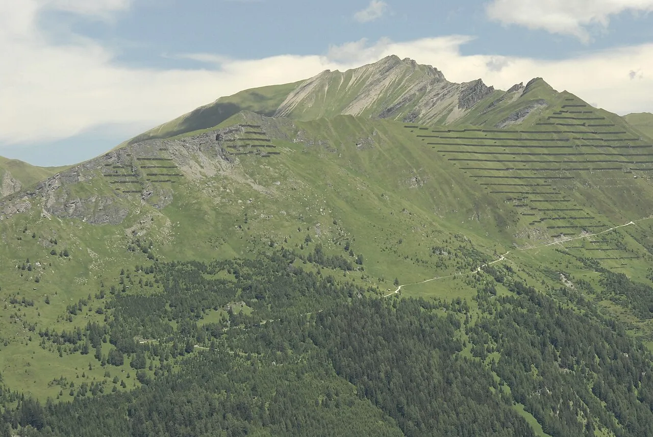
Sumpfkopf Haneburger · Public domain -
Schrammacher Carsten Steger · CC BY-SA 4.0 -
Schafseitenspitze Haneburger · Public domain -
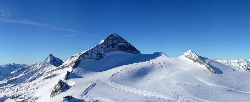
Olperer earnie81 · CC BY-SA 2.0 de -
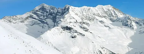
Sagwand Spitze Svíčková · CC BY-SA 3.0


Climate of Hochmark
This month · November
A cold month
Day 3° · Night -2° · Rain 90 mm
- Hottest month
- July (day 17°)
- Coldest month
- February (night -6°)
- Wettest month
- July (146 mm)
- Driest month
- February (59 mm)
Bars: average monthly low and high temperature. Below: precipitation. Monthly averages for 1970–2000 at about 18 km resolution, adjusted for elevation. Highlighted months are mild and relatively dry. Source: WorldClim 2.1 (CC BY 4.0).
Show values as a table
| Month | Jan | Feb | Mar | Apr | May | Jun | Jul | Aug | Sep | Oct | Nov | Dec |
|---|---|---|---|---|---|---|---|---|---|---|---|---|
| Average high (°C) | 0° | 0° | 3° | 5° | 11° | 14° | 17° | 17° | 14° | 9° | 3° | 1° |
| Average low (°C) | -6° | -6° | -4° | -1° | 3° | 6° | 9° | 9° | 6° | 3° | -2° | -5° |
| Precipitation (mm) | 63 | 59 | 81 | 91 | 108 | 138 | 146 | 132 | 99 | 83 | 90 | 71 |
How to get to Hochmark
The nearest airport is Innsbruck Airport (INN), 27 km to the northwest as the crow flies. The nearest large city is Innsbruck, 25 km to the northwest.
Airports
- Innsbruck Airport (INN) Innsbruck 27 kmnorthwest
- Bolzano Airport (BZO) Bolzano (BZ) 72 kmsouth
- Salzburg Airport (SZG) Salzburg 133 kmnortheast
Nearby large cities
- Innsbruck Population: 132.5K 25 kmnorthwest
- Munich Population: 1.5M 117 kmnorth
- Salzburg Population: 157.2K 136 kmnortheast
- Augsburg Population: 301.1K 152 kmnorth
- Ingolstadt Population: 120.7K 187 kmnorth
Straight-line distances; road distances are longer. Airport data: OurAirports.
Day trips from Hochmark
Within 100 km: 172 historic and cultural sites, 4,719 natural sites, 978 lakes, rivers and coasts.
0–25 km304 places
- Wild See Lake 10 kmS
- Torseen Lake 12 kmNE
- Obernberger See Lake 18 kmSW
- Juns See Lake 7 kmNE
25–60 km1,540 places
- Wildsee Lake 40 kmNW
- Zireiner See Lake 46 kmN
- Wilder See Lake 53 kmW
- Wannensee Lake 42 kmW
60–100 km4,025 places
- Bayerisches Oberland Mountain 65 kmN
- Schloss Hirschberg am Haarsee Historic site 86 kmN
- Lai da Sesvenna Lake 98 kmSW
- Ils Lajets Lake 100 kmSW
Straight-line distances.
Nearby attractions & nature
Everything nearby-
Wildlahner Bach River, Tyrol<0.1 km N
-
Rauher Kopf = Schmirn Mountain, Schmirn1 km S
-
Schönjöchl Mountain, Schmirn1.3 km SE
-
Hohe Warte Mountain, Schmirn1.9 km S
-
Schafseitenspitze Mountain, Steinach am Brenner3.1 km NW
-
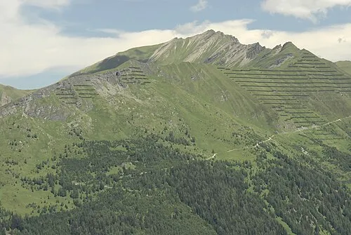 Sumpfkopf Mountain, Schmirn3.8 km W
Sources & licences
Data last updated: