Feldberg
Located in Kirchdorf in Tirol, Politischer Bezirk Kitzbühel Coordinates: 47°35′32″ N 12°19′26″ E
- Elevation
- 1,813 m
- above sea level
- Local time
- UTC+01:00
- Europe/Vienna · UTC+01:00
- Airports
- SZG Salzburg Airport56 km
- INN Innsbruck Airport83 km
About Feldberg
Feldberg is a mountain. Location: Kirchdorf in Tirol, Politischer Bezirk Kitzbühel. Elevation: 1,813 m. The nearest airport is Salzburg Airport (56 km). Nearby sights include Kaiser Mountains and Stripsenkopf.
Climate of Feldberg
This month · November
A cold month
Day 0° · Night -7° · Rain 90 mm
- Hottest month
- July (day 15°)
- Coldest month
- January (night -11°)
- Wettest month
- July (173 mm)
- Driest month
- February (70 mm)
Bars: average monthly low and high temperature. Below: precipitation. Monthly averages for 1970–2000 at about 18 km resolution, adjusted for elevation. Highlighted months are mild and relatively dry. Source: WorldClim 2.1 (CC BY 4.0).
Show values as a table
| Month | Jan | Feb | Mar | Apr | May | Jun | Jul | Aug | Sep | Oct | Nov | Dec |
|---|---|---|---|---|---|---|---|---|---|---|---|---|
| Average high (°C) | -4° | -3° | 1° | 5° | 10° | 13° | 15° | 15° | 11° | 7° | 0° | -4° |
| Average low (°C) | -11° | -10° | -7° | -4° | 1° | 4° | 6° | 6° | 2° | -2° | -7° | -10° |
| Precipitation (mm) | 73 | 70 | 87 | 91 | 113 | 157 | 173 | 153 | 104 | 78 | 90 | 85 |
How to get to Feldberg
The nearest airport is Salzburg Airport (SZG), 56 km to the northeast as the crow flies. The nearest large city is Salzburg, 59 km to the northeast.
Airports
- Salzburg Airport (SZG) Salzburg 56 kmnortheast
- Innsbruck Airport (INN) Innsbruck 83 kmsouthwest
- Munich Airport (MUC) Munich 94 kmnorthwest
Nearby large cities
- Salzburg Population: 157.2K 59 kmnortheast
- Innsbruck Population: 132.5K 79 kmsouthwest
- Munich Population: 1.5M 83 kmnorthwest
- Augsburg Population: 301.1K 137 kmnorthwest
- Ingolstadt Population: 120.7K 147 kmnorthwest
Straight-line distances; road distances are longer. Airport data: OurAirports.
Day trips from Feldberg
Within 100 km: 398 historic and cultural sites, 4,002 natural sites, 1,171 lakes, rivers and coasts.
0–25 km297 places
- Wildsee Lake 24 kmSE
- Wiesensee Lake 24 kmSE
- Schwarzsee Lake 16 kmS
- Piller See Lake 19 kmE
25–60 km2,014 places
- Frauenchiemsee Island 32 kmN
- Herreninsel Island 30 kmN
- Fürlegsee Lake 56 kmSE
- Eissee Lake 59 kmS
60–100 km3,260 places
- Hoher Dachstein Mountain 97 kmE
- Bayerisches Oberland Mountain 72 kmW
- Schloss Hirschberg am Haarsee Historic site 87 kmW
- elf-pavlik's tent Historic site 84 kmNW
Straight-line distances.
Nearest towns and villages
-
Walchsee Municipality, Politischer Bezirk Kufstein5.1 km N
-
 Durchholzen Village, Walchsee5.5 km NW
-
Ebbs Municipality, Politischer Bezirk Kufstein6.4 km W
-
Oed Village, Walchsee4.6 km N
-
Schwendt Municipality, Politischer Bezirk Kitzbühel5.7 km NE
-
Going am Wilden Kaiser Municipality, Politischer Bezirk Kitzbühel7.1 km S
Nearby attractions & nature
Everything nearby-
Kaiser Mountains Mountain, Tyrol1.1 km NE
-
Stripsenkopf Mountain, Ebbs1.6 km SW
-
Scheibenbühel Berg Mountain, Schwendt2.1 km NE
-
Schneebichl Mountain, Kirchdorf in Tirol2.5 km E
-
Scheibenkogel Mountain, Schwendt2.7 km NE
-
Heuberg Mountain, Walchsee3.2 km N
-
Lärchegg Mountain, Kirchdorf in Tirol3.3 km SE
-
Ellmauer Haltspitze Mountain, Ellmau3.7 km SW
More nature in Austria
-
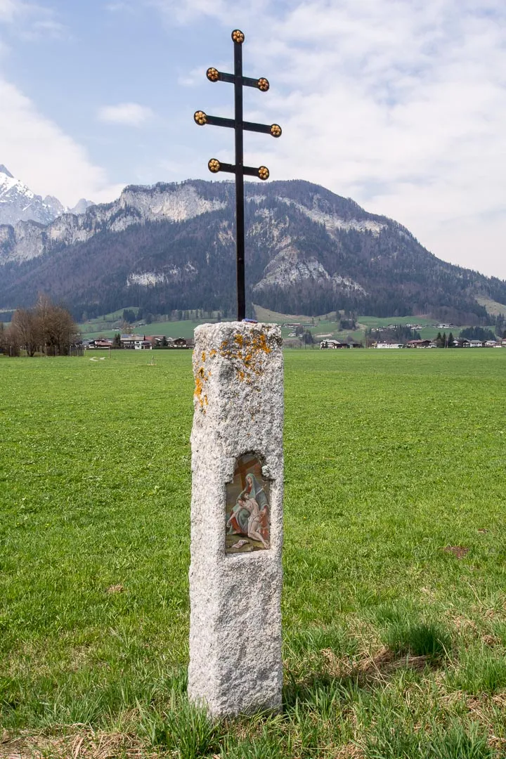 Schatterberg Mountain, Kirchdorf in Tirol8.4 km SE
-
Gscheuerkopf Mountain, Kirchdorf in Tirol7.4 km SE
-
Unterberghorn Mountain, Kirchdorf in Tirol9 km E
-
Kalkstein Mountain, Kirchdorf in Tirol14 km SE
-
Fellhorn Mountain, Kirchdorf in Tirol13 km E
-
Kirchberg Mountain, Kirchdorf in Tirol17 km SE
Sources & licences
Data last updated: