Kitzbühel
Located in Politischer Bezirk Kitzbühel, Tyrol Coordinates: 47°26′50″ N 12°24′54″ E
- Population
- 8,341
- 8.3K
- Elevation
- 932 m
- above sea level
- Local time
- UTC+01:00
- Europe/Vienna · UTC+01:00
- Places inside
- 20
- listed under Kitzbühel
About Kitzbühel
Kitzbühel is a municipality. Location: Politischer Bezirk Kitzbühel, Tyrol. Population: 8,341. Elevation: 932 m.
In comparison
- No. 2 of 20 places in Politischer Bezirk Kitzbühel by population
- Nearest larger town: Sankt Johann in Tirol, 8 km N
- 45 sights and natural places within 10 km Schloss Kaps, Kitzbüheler Horn
- Listed here: Village: 10, Mountain: 7, Historic site: 1, Landmark: 1
Places in Kitzbühel
20 places-
Kitzbühel Town8.3K
-
Badhaus Village
-
Ecking Village
-
Ehrenbachhöhe Mountain
-
Griesenau Village
-
Gundhabing Village
-
Haselwand Village
-
Henntal Village
-
Hochetzkogel Mountain
-
Högl Village
-
Hornköpfl Mountain
-
Karstein Mountain
-
Kitzbüheler Horn Mountain
-
Lebenberg Mountain
-
Rissberg Village
-
Schloss Kaps Historic site
-
Sendeturm Kitzbühler Horn Landmark
-
Staudach Village
-
Stockerdörfl Village
-
Stuckkogel Mountain
Nearby attractions & nature
Everything nearby-
Jochberger Ache River, Tyrol2.4 km W
-
Brunnerkogel Mountain, Aurach bei Kitzbühel3.9 km SE
-
Auracher Bach River, Tyrol3.4 km S
-
Aschbach River, Tyrol3.4 km S
-
Schwarzsee Lake, Tyrol3.6 km W
-
Grosse Aualm Mountain, Jochberg5.8 km SW
-
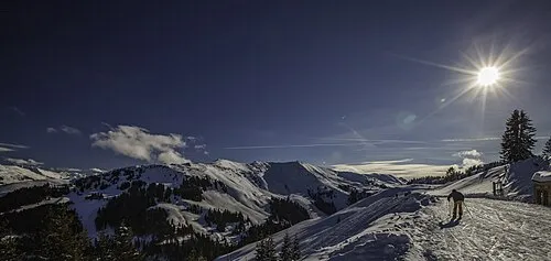 Steinbergkogel Mountain, Jochberg6.4 km SW
-
Reisenbergköpfl Mountain, St. Johann in Tirol5.2 km NE
Sources & licences
Data last updated: