Roter Kogel
Located in Kals am Großglockner, Politischer Bezirk Lienz Coordinates: 46°58′49″ N 12°35′56″ E
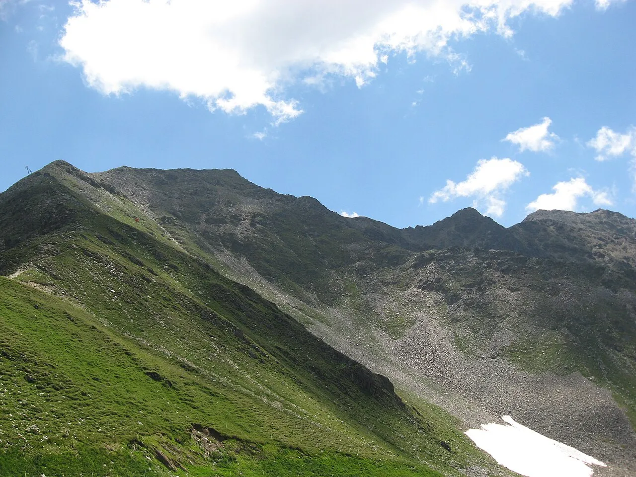
- Elevation
- 2,762 m
- above sea level
- Local time
- UTC+01:00
- Europe/Vienna · UTC+01:00
- Airports
- SZG Salzburg Airport95 km
- INN Innsbruck Airport100 km
About Roter Kogel
Roter Kogel is a mountain. Location: Kals am Großglockner, Politischer Bezirk Lienz. Elevation: 2,762 m. The nearest airport is Salzburg Airport (95 km). Nearby sights include Gorner and Kalser Tal.
At a glance
- Topographic prominence
- 555 m
Source: Wikidata
Photos of Roter Kogel
-

Michael Kranewitter · CC BY-SA 4.0 -

Michael Kranewitter · CC BY-SA 4.0 -
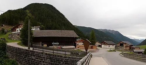
Pohleshöhe Michael Kranewitter · CC BY-SA 4.0 -
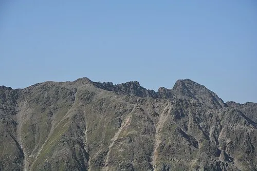
Kreuzecke Michael Kranewitter · CC BY-SA 4.0 -
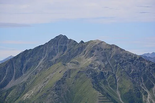
Gorner Michael Kranewitter · CC BY-SA 4.0


Climate of Roter Kogel
This month · November
A cold month
Day -5° · Night -11° · Rain 94 mm
- Hottest month
- July (day 9°)
- Coldest month
- January (night -15°)
- Wettest month
- July (158 mm)
- Driest month
- February (60 mm)
Bars: average monthly low and high temperature. Below: precipitation. Monthly averages for 1970–2000 at about 18 km resolution, adjusted for elevation. Highlighted months are mild and relatively dry. Source: WorldClim 2.1 (CC BY 4.0).
Show values as a table
| Month | Jan | Feb | Mar | Apr | May | Jun | Jul | Aug | Sep | Oct | Nov | Dec |
|---|---|---|---|---|---|---|---|---|---|---|---|---|
| Average high (°C) | -8° | -8° | -5° | -2° | 4° | 7° | 9° | 9° | 6° | 2° | -5° | -8° |
| Average low (°C) | -15° | -15° | -13° | -10° | -5° | -2° | 1° | 1° | -3° | -6° | -11° | -14° |
| Precipitation (mm) | 61 | 60 | 77 | 90 | 113 | 142 | 158 | 144 | 109 | 96 | 94 | 72 |
How to get to Roter Kogel
The nearest airport is Salzburg Airport (SZG), 95 km to the north as the crow flies. The nearest large city is Innsbruck, 97 km to the west.
Airports
- Salzburg Airport (SZG) Salzburg 95 kmnorth
- Innsbruck Airport (INN) Innsbruck 100 kmwest
- Bolzano Airport (BZO) Bolzano (BZ) 113 kmsouthwest
Nearby large cities
- Innsbruck Population: 132.5K 97 kmwest
- Salzburg Population: 157.2K 97 kmnorth
- Klagenfurt Population: 100.3K 136 kmeast
- Munich Population: 1.5M 150 kmnorthwest
- Ljubljana Population: 272.2K 179 kmsoutheast
Straight-line distances; road distances are longer. Airport data: OurAirports.
Day trips from Roter Kogel
Within 100 km: 194 historic and cultural sites, 4,130 natural sites, 845 lakes, rivers and coasts.
0–25 km741 places
- Fürlegsee Lake 17 kmN
- Vorderer Langtalsee Lake 14 kmE
- Eissee Lake 19 kmNW
- Hacklsee Lake 25 kmN
25–60 km1,552 places
- Sille River 25 kmSW
- Brandlsee Lake 31 kmNE
- Brechlsee Lake 29 kmNE
- Schmiedingersee Lake 26 kmN
60–100 km2,876 places
- Hoher Dachstein Mountain 94 kmNE
- Herreninsel Island 99 kmN
- Prestreljenik Mountain 96 kmSE
- Piz Gralba Mountain 80 kmSW
Straight-line distances.
Nearest towns and villages

Nearby attractions & nature
Everything nearby-
Gorner Mountain, Matrei in Osttirol0.7 km NE
-
Kalser Tal Natural site, Tyrol2 km SE
-
Kalser Höhe Mountain, Matrei in Osttirol3.4 km N
-
Kreuzecke Mountain, Kals am Großglockner5.4 km SE
-
Ganotzkogel Mountain, Matrei in Osttirol4 km N
-
Blauspitze Mountain, Matrei in Osttirol4 km N
-
Lesachbach River, Tyrol3 km E
-
Weißer Knopf Mountain, Matrei in Osttirol4.2 km N
More nature in Austria
-
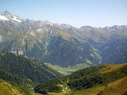 Figerhorn Mountain, Kals am Großglockner8.1 km NE
-
Pohleshöhe Mountain, Kals am Großglockner7.8 km NE
-
Goll Spitze Mountain, Kals am Großglockner4.5 km E
-
Winkeleck Mountain, Kals am Großglockner6.1 km E
-
Ganimitz Mountain, Kals am Großglockner6.2 km N
-
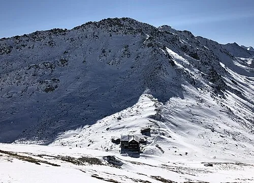 Kastenegg Mountain, Kals am Großglockner11 km NE
Sources & licences
Data last updated: · 2 independent sources