Großer Geiger
Located in Prägraten am Großvenediger, Politischer Bezirk Lienz Coordinates: 47°05′36″ N 12°18′30″ E
- Elevation
- 3,360 m
- above sea level
- Local time
- UTC+01:00
- Europe/Vienna · UTC+01:00
- Airports
- INN Innsbruck Airport75 km
- SZG Salzburg Airport94 km
About Großer Geiger
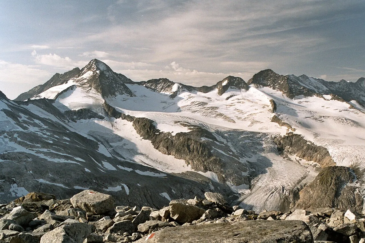
Großer Geiger is a mountain. Location: Prägraten am Großvenediger, Politischer Bezirk Lienz. Elevation: 3,360 m.
The Großer Geiger, formerly also called the Obersulzbacher Venediger and Heiliggeistkogel, is a mountain, 3,360 m (AA), in the Venediger Group in the main chain of the Central Tauern (Mittlerer Tauernhauptkamm). This chain lies in the High Tauern, part of the Austrian Central Alps on the border between the Austrian states of Tyrol in the south and Salzburg in the north. The mountain was given its present name in 1855 by the Austrian chemist and cartographer, Franz Keil.
Source: Wikipedia · CC BY-SA 4.0
Photos of Großer Geiger
-

Whgler · CC BY-SA 4.0 -

Whgler · CC BY-SA 4.0 -

Jörg Braukmann · CC BY-SA 4.0 -
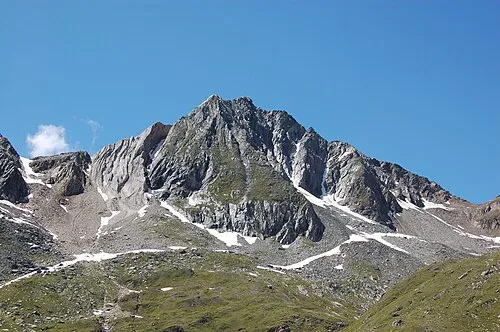
Zopetspitz Michael Kranewitter · CC BY-SA 3.0 at -
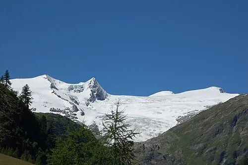
Kleinvenediger Michael Kranewitter, Vienna · CC BY 3.0


Climate of Großer Geiger
This month · November
A wet month
Day -8° · Night -13° · Rain 117 mm
- Hottest month
- July (day 4°)
- Coldest month
- February (night -18°)
- Wettest month
- July (168 mm)
- Driest month
- February (85 mm)
Bars: average monthly low and high temperature. Below: precipitation. Monthly averages for 1970–2000 at about 18 km resolution, adjusted for elevation. Highlighted months are mild and relatively dry. Source: WorldClim 2.1 (CC BY 4.0).
Show values as a table
| Month | Jan | Feb | Mar | Apr | May | Jun | Jul | Aug | Sep | Oct | Nov | Dec |
|---|---|---|---|---|---|---|---|---|---|---|---|---|
| Average high (°C) | -12° | -12° | -10° | -7° | -2° | 1° | 4° | 4° | 1° | -3° | -8° | -10° |
| Average low (°C) | -17° | -18° | -16° | -13° | -8° | -5° | -3° | -2° | -5° | -8° | -13° | -16° |
| Precipitation (mm) | 90 | 85 | 112 | 117 | 127 | 151 | 168 | 153 | 114 | 103 | 117 | 101 |
How to get to Großer Geiger
The nearest airport is Innsbruck Airport (INN), 75 km to the west as the crow flies. The nearest large city is Innsbruck, 72 km to the west.
Airports
- Innsbruck Airport (INN) Innsbruck 75 kmwest
- Salzburg Airport (SZG) Salzburg 94 kmnortheast
- Bolzano Airport (BZO) Bolzano (BZ) 103 kmsouthwest
Nearby large cities
- Innsbruck Population: 132.5K 72 kmwest
- Salzburg Population: 157.2K 96 kmnortheast
- Munich Population: 1.5M 129 kmnorthwest
- Klagenfurt Population: 100.3K 161 kmeast
- Augsburg Population: 301.1K 177 kmnorthwest
Straight-line distances; road distances are longer. Airport data: OurAirports.
Day trips from Großer Geiger
Within 100 km: 207 historic and cultural sites, 4,292 natural sites, 950 lakes, rivers and coasts.
0–25 km661 places
- Fürlegsee Lake 24 kmE
- Eissee Lake 6 kmSE
- Schwarzsee Lake 23 kmE
- Wildensee Lake 13 kmE
25–60 km1,560 places
- Sille River 36 kmS
- Vorderer Langtalsee Lake 38 kmE
- Brandlsee Lake 38 kmNE
- Brechlsee Lake 39 kmE
60–100 km3,228 places
- Bayerisches Oberland Mountain 95 kmNW
- Frauenchiemsee Island 87 kmN
- Herreninsel Island 86 kmN
- Piz Gralba Mountain 75 kmSW
Straight-line distances.
Nearest towns and villages
-
Hinterbichl Village, Prägraten am Großvenediger8.7 km S
-
Sankt Andrä Village, Prägraten am Großvenediger9.8 km SE
-
Wallhorn Village, Prägraten am Großvenediger10 km SE
-
Bichl Village, Prägraten am Großvenediger9.6 km SE
-
Bobojach Village, Prägraten am Großvenediger11 km SE
-
Feldner Village, Prägraten am Großvenediger9.1 km S
Nearby attractions & nature
Everything nearby-
Venedigergruppe Mountain, Prägraten am Großvenediger0.3 km SW
-
Großer Happ Mountain, Prägraten am Großvenediger1.3 km SE
-
Hinterer Maurerkeeskopf Mountain, Krimml1.9 km W
-
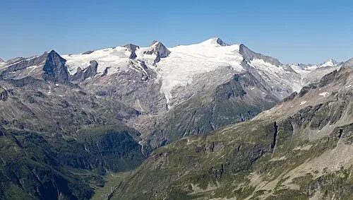 Großvenediger Mountain, Prägraten am Großvenediger3.3 km NE
-
Dorferkees Natural site, Tyrol2 km E
-
Mittlerer Maurerkeeskopf Mountain, Prägraten am Großvenediger2.4 km W
-
Türkische Zeltstadt (former) Natural site, Neukirchen am Grossvenediger2.7 km N
-
Gamsspitzl Mountain, Krimml3.1 km W
More nature in Austria
-
Zopetspitz Mountain, Prägraten am Großvenediger5.7 km SE
-
Kreuzspitze Mountain, Prägraten am Großvenediger6.4 km SE
-
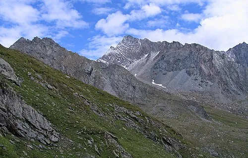 Hoher Eichham Mountain, Prägraten am Großvenediger8.7 km SE
-
Hohes Aderl Mountain, Prägraten am Großvenediger3.3 km E
-
Kapunitzköpfl Mountain, Prägraten am Großvenediger3.3 km E
-
Mullwitzköpfl Mountain, Prägraten am Großvenediger3.3 km E
Sources & licences
Data last updated: · 2 independent sources