Trojer Alm
Located in St. Jakob in Defereggen, Politischer Bezirk Lienz Coordinates: 46°56′48″ N 12°17′14″ E
- Elevation
- 2,496 m
- above sea level
- Local time
- UTC+01:00
- Europe/Vienna · UTC+01:00
- Airports
- INN Innsbruck Airport80 km
- BZO Bolzano Airport91 km
About Trojer Alm
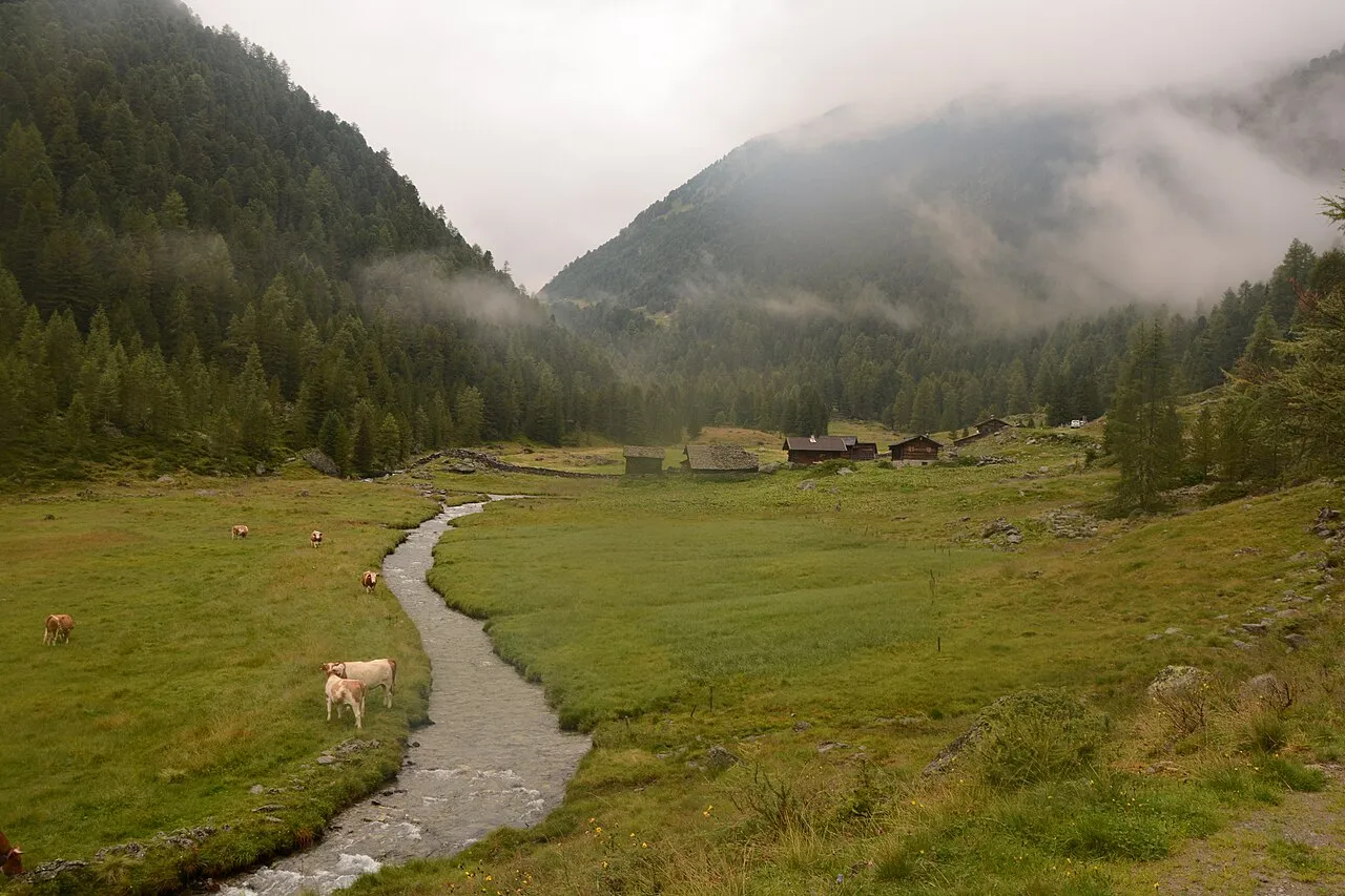
Trojer Alm is a mountain. Location: St. Jakob in Defereggen, Politischer Bezirk Lienz. Elevation: 2,496 m. The nearest airport is Innsbruck Airport (80 km). Nearby sights include Trojeralmtal and Seespitze.
Photos of Trojer Alm
-
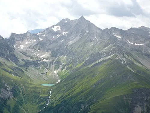
Lasörling PietJay · CC BY 3.0 -
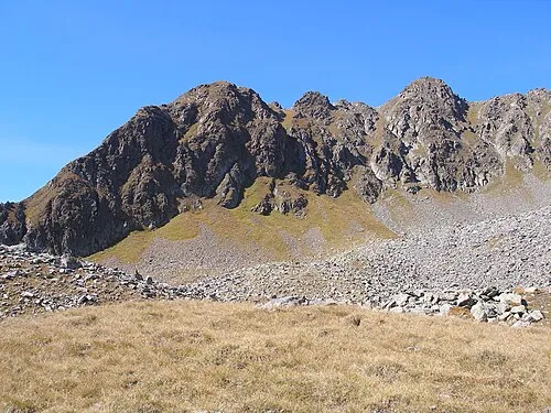
Kastal Sepp100 · Public domain -
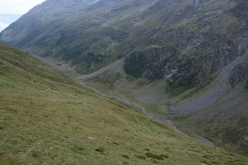
Trojeralmtal Michael Kranewitter · CC BY-SA 4.0 -
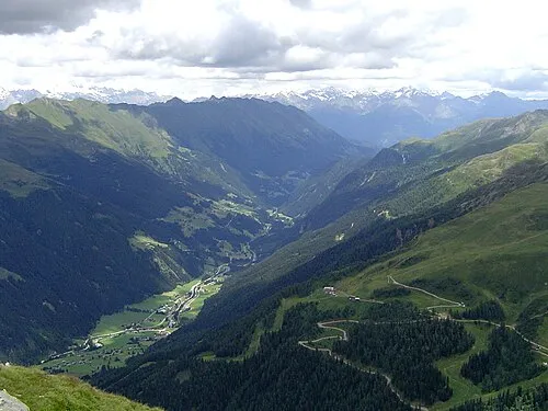
Defereggen Itti · CC BY-SA 3.0


Climate of Trojer Alm
This month · November
A wet month
Day -2° · Night -8° · Rain 107 mm
- Hottest month
- July (day 11°)
- Coldest month
- February (night -12°)
- Wettest month
- July (163 mm)
- Driest month
- February (71 mm)
Bars: average monthly low and high temperature. Below: precipitation. Monthly averages for 1970–2000 at about 18 km resolution, adjusted for elevation. Highlighted months are mild and relatively dry. Source: WorldClim 2.1 (CC BY 4.0).
Show values as a table
| Month | Jan | Feb | Mar | Apr | May | Jun | Jul | Aug | Sep | Oct | Nov | Dec |
|---|---|---|---|---|---|---|---|---|---|---|---|---|
| Average high (°C) | -6° | -6° | -4° | -1° | 5° | 8° | 11° | 11° | 8° | 4° | -2° | -5° |
| Average low (°C) | -12° | -12° | -10° | -7° | -3° | 1° | 3° | 3° | 0° | -3° | -8° | -10° |
| Precipitation (mm) | 74 | 71 | 92 | 103 | 122 | 146 | 163 | 150 | 111 | 100 | 107 | 83 |
How to get to Trojer Alm
The nearest airport is Innsbruck Airport (INN), 80 km to the northwest as the crow flies. The nearest large city is Innsbruck, 76 km to the northwest.
Airports
- Innsbruck Airport (INN) Innsbruck 80 kmnorthwest
- Bolzano Airport (BZO) Bolzano (BZ) 91 kmsouthwest
- Salzburg Airport (SZG) Salzburg 109 kmnortheast
Nearby large cities
- Innsbruck Population: 132.5K 76 kmnorthwest
- Salzburg Population: 157.2K 111 kmnortheast
- Munich Population: 1.5M 143 kmnorth
- Klagenfurt Population: 100.3K 158 kmeast
- Augsburg Population: 301.1K 190 kmnorthwest
Straight-line distances; road distances are longer. Airport data: OurAirports.
Day trips from Trojer Alm
Within 100 km: 146 historic and cultural sites, 4,165 natural sites, 783 lakes, rivers and coasts.
0–25 km514 places
- Sille River 21 kmSE
- Eissee Lake 15 kmNE
- Wildensee Lake 23 kmNE
- Unterer Ganitzsee Lake 22 kmE
25–60 km1,673 places
- Fürlegsee Lake 33 kmNE
- Vorderer Langtalsee Lake 38 kmE
- Brandlsee Lake 48 kmNE
- Brechlsee Lake 48 kmNE
60–100 km2,907 places
- Piz Gralba Mountain 61 kmSW
- Piz Miara Mountain 60 kmSW
- Croda Nera Mountain 69 kmSW
- Wildsee Lake 93 kmNW
Straight-line distances.
Nearest towns and villages
-
Oberrotte Village, St. Jakob in Defereggen3 km S
-
Unterrotte Village, St. Jakob in Defereggen4.8 km SE
-
Innerrotte Village, St. Jakob in Defereggen4.8 km SE
-
Mariahilf Village, St. Jakob in Defereggen3.1 km S
-
Pötsch Village, St. Jakob in Defereggen3.3 km S
-
Erlsbach Village, St. Jakob in Defereggen3.6 km SW
Nearby attractions & nature
Everything nearby-
Trojeralmtal Natural site, Tyrol1.1 km NE
-
Seespitze Mountain, St. Jakob in Defereggen1.1 km NW
-
Weißes Beil Mountain, St. Jakob in Defereggen1.1 km SE
-
Oberseitsee Lake, Tyrol1 km SW
-
Alples Spitze Mountain, St. Jakob in Defereggen2.5 km NW
-
Blindis Spitze Mountain, St. Jakob in Defereggen4.2 km NE
-
Hutner Spitze Mountain, St. Jakob in Defereggen3.2 km SW
-
Finsterkarspitze Mountain, St. Jakob in Defereggen3.3 km NE
Sources & licences
Data last updated: · 2 independent sources