Wetterspitzen
Located in Ehrwald, Politischer Bezirk Reutte Coordinates: 47°24′02″ N 10°58′14″ E
- Elevation
- 2,750 m
- above sea level
- Local time
- UTC+01:00
- Europe/Vienna · UTC+01:00
- Airports
- INN Innsbruck Airport32 km
- FMM Memmingen Allgau Airport85 km
About Wetterspitzen
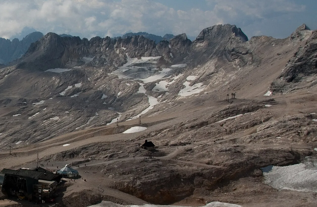
Wetterspitzen is a mountain. Location: Ehrwald, Politischer Bezirk Reutte. Elevation: 2,750 m.
The Wetterspitzen are three of the rocky peaks on a mountain ridge in the Wetterstein mountains in the central part of the Eastern Alps in Germany. They lie two kilometres, as the crow flies, southwest of Germany's highest peak, the Zugspitze, on the border between the Austrian province of Tyrol and the German state of Bavaria.
Source: Wikipedia · CC BY-SA 4.0
Photos of Wetterspitzen
-
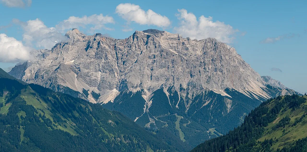
Zugspitze Tuxyso · CC BY-SA 4.0 -
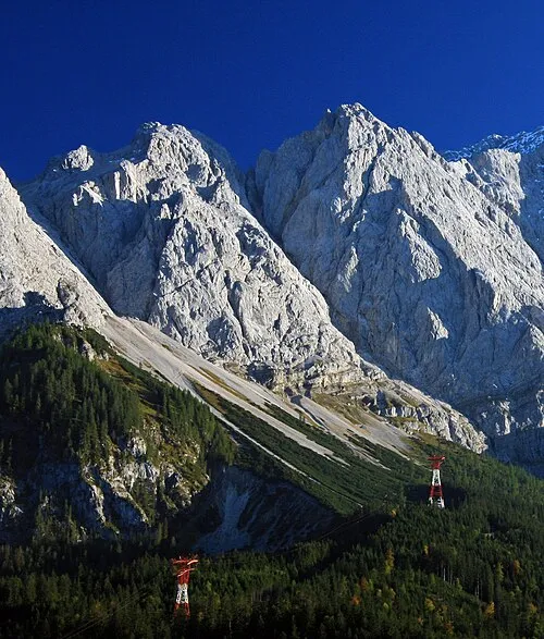
Riffelwandspitze Octagon · CC BY 3.0 -
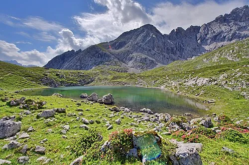
Hoher Gaif Stefan Brending · CC BY-SA 3.0 de -
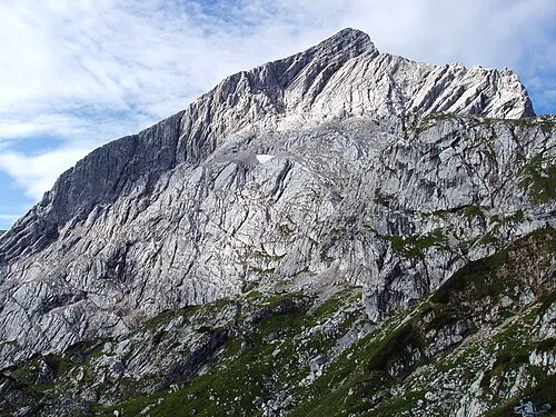
Alpspitze Günter Seggebäing · CC BY-SA 2.0 de -
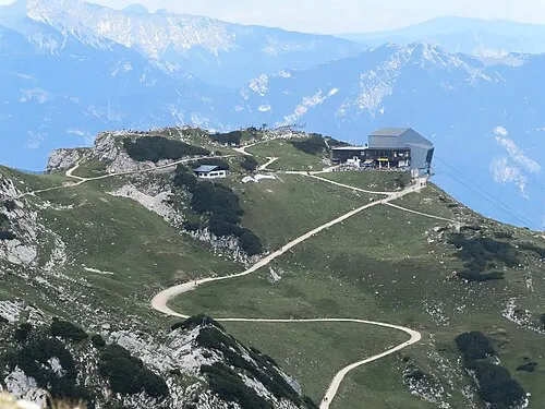
Osterfelderkopf Bbb-Commons · CC BY-SA 3.0


Climate of Wetterspitzen
This month · November
A cold month
Day -5° · Night -11° · Rain 88 mm
- Hottest month
- July (day 9°)
- Coldest month
- January (night -15°)
- Wettest month
- July (166 mm)
- Driest month
- February (68 mm)
Bars: average monthly low and high temperature. Below: precipitation. Monthly averages for 1970–2000 at about 18 km resolution, adjusted for elevation. Highlighted months are mild and relatively dry. Source: WorldClim 2.1 (CC BY 4.0).
Show values as a table
| Month | Jan | Feb | Mar | Apr | May | Jun | Jul | Aug | Sep | Oct | Nov | Dec |
|---|---|---|---|---|---|---|---|---|---|---|---|---|
| Average high (°C) | -8° | -8° | -5° | -2° | 4° | 7° | 9° | 9° | 6° | 1° | -5° | -7° |
| Average low (°C) | -15° | -14° | -12° | -9° | -5° | -2° | 0° | 0° | -2° | -6° | -11° | -13° |
| Precipitation (mm) | 69 | 68 | 84 | 94 | 117 | 157 | 166 | 153 | 104 | 81 | 88 | 80 |
How to get to Wetterspitzen
The nearest airport is Innsbruck Airport (INN), 32 km to the southeast as the crow flies. The nearest large city is Innsbruck, 36 km to the southeast.
Airports
- Innsbruck Airport (INN) Innsbruck 32 kmsoutheast
- Memmingen Allgau Airport (FMM) Memmingen 85 kmnorthwest
- Sankt Gallen Altenrhein Airport (ACH) St. Gallen 107 kmwest
Nearby large cities
- Innsbruck Population: 132.5K 36 kmsoutheast
- Munich Population: 1.5M 94 kmnortheast
- Augsburg Population: 301.1K 108 kmnorth
- Ulm Population: 120.5K 133 kmnorthwest
- Ingolstadt Population: 120.7K 155 kmnorth
Straight-line distances; road distances are longer. Airport data: OurAirports.
Day trips from Wetterspitzen
Within 100 km: 381 historic and cultural sites, 4,989 natural sites, 1,190 lakes, rivers and coasts.
0–25 km627 places
- Wildsee Lake 19 kmSE
- Weissensee Lake 9 kmSW
- Taxersee Lake 22 kmSE
- Seebensee Lake 5 kmSW
25–60 km2,181 places
- Bayerisches Oberland Mountain 41 kmNE
- Schloss Hirschberg am Haarsee Historic site 49 kmN
- Kapfkopf Mountain 55 kmSW
- Wilder See Lake 36 kmS
60–100 km3,752 places
- elf-pavlik's tent Historic site 100 kmNE
- Weiher Diepoldsau Lake 98 kmW
- Lai da Juata Lake 97 kmSW
- Lai Sura Lake 99 kmSW
Straight-line distances.
Nearest towns and villages
-
Ehrwald Village, Ehrwald4.1 km W
-
Biberwier Village, Biberwier5.7 km W
-
Ehrwald Unterdorf Village, Ehrwald4.1 km W
-
Ehrwald Oberdorf Village, Ehrwald4.1 km W
-
Mieming Municipality, Politischer Bezirk Imst7.5 km S
-
Wildermieming Municipality, Politischer Bezirk Innsbruck Land6.9 km SE
Nearby attractions & nature
Everything nearby-
Schneefernerkopf Mountain, Garmisch-Partenkirchen0.9 km N
-
Schneefernerkopf Mountain, Ehrwald1 km N
-
Wetterwandeck Mountain, Carinthia1 km E
-
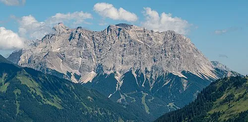 Zugspitze Mountain, Garmisch-Partenkirchen2.6 km NE
-
Westliche Plattspitze Mountain, Ehrwald1.4 km E
-
Mittlere Plattspitze Mountain, Ehrwald1.6 km E
-
Plattspitzen Mountain, Mieming1.8 km E
-
Riffelwandspitze Mountain, Grainau3.4 km NE
Sources & licences
Data last updated: · 2 independent sources