Hohes Licht
Located in Holzgau, Politischer Bezirk Reutte Coordinates: 47°16′53″ N 10°16′34″ E
- Elevation
- 2,651 m
- above sea level
- Local time
- UTC+01:00
- Europe/Vienna · UTC+01:00
- Airports
- ACH Sankt Gallen Altenrhein Airport59 km
- FDH Bodensee Airport Friedrichshafen72 km
About Hohes Licht
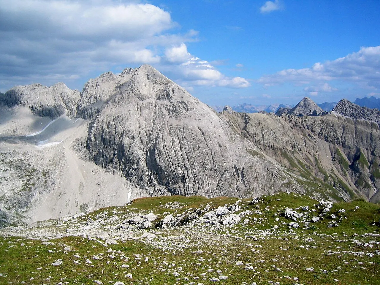
Hohes Licht is a mountain. Location: Holzgau, Politischer Bezirk Reutte. Elevation: 2,651 m.
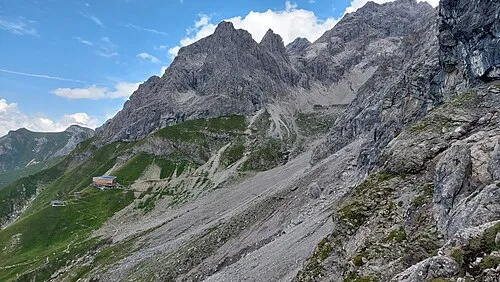
The Hohes Licht, at 2,651 metres, is the second highest mountain in the Allgäu Alps after the Großer Krottenkopf. Its summit lies in the Austrian state of Tyrol.
Source: Wikipedia · CC BY-SA 4.0
At a glance
- Topographic prominence
- 681 m
Source: Wikidata
Photos of Hohes Licht
-

Robinhood50 · CC BY-SA 4.0 -

Robinhood50 · CC BY-SA 4.0 -

böhringer friedrich · CC BY-SA 2.5 -

Whgler · CC BY-SA 4.0 -

Harald Hetzner · CC0


Climate of Hohes Licht
This month · November
A wet month
Day -3° · Night -10° · Rain 102 mm
- Hottest month
- July (day 10°)
- Coldest month
- February (night -14°)
- Wettest month
- July (165 mm)
- Driest month
- February (87 mm)
Bars: average monthly low and high temperature. Below: precipitation. Monthly averages for 1970–2000 at about 18 km resolution, adjusted for elevation. Highlighted months are mild and relatively dry. Source: WorldClim 2.1 (CC BY 4.0).
Show values as a table
| Month | Jan | Feb | Mar | Apr | May | Jun | Jul | Aug | Sep | Oct | Nov | Dec |
|---|---|---|---|---|---|---|---|---|---|---|---|---|
| Average high (°C) | -7° | -7° | -4° | -2° | 4° | 7° | 10° | 10° | 7° | 2° | -3° | -6° |
| Average low (°C) | -14° | -14° | -12° | -9° | -4° | -2° | 1° | 1° | -2° | -5° | -10° | -13° |
| Precipitation (mm) | 92 | 87 | 95 | 99 | 115 | 151 | 165 | 152 | 112 | 89 | 102 | 101 |
How to get to Hohes Licht
The nearest airport is Sankt Gallen Altenrhein Airport (ACH), 59 km to the northwest as the crow flies. For international flights: Bodensee Airport Friedrichshafen (FDH) (72 km). The nearest large city is Innsbruck, 85 km to the east.
Airports
- Sankt Gallen Altenrhein Airport (ACH) St. Gallen 59 kmnorthwest
- Bodensee Airport Friedrichshafen (FDH) Friedrichshafen 72 kmnorthwest
- Memmingen Allgau Airport (FMM) Memmingen 79 kmnorth
Nearby large cities
- Innsbruck Population: 132.5K 85 kmeast
- Winterthur Population: 111.8K 120 kmwest
- Ulm Population: 120.5K 126 kmnorth
- Augsburg Population: 301.1K 130 kmnorth
- Zurich Population: 415.4K 131 kmwest
Straight-line distances; road distances are longer. Airport data: OurAirports.
Day trips from Hohes Licht
Within 100 km: 379 historic and cultural sites, 5,580 natural sites, 1,261 lakes, rivers and coasts.
0–25 km735 places
- Kapfkopf Mountain 22 kmSE
- Zürser See Lake 16 kmSW
- Vordersee Lake 14 kmSE
- Spullersee Lake 20 kmSW
25–60 km2,533 places
- Weiher Diepoldsau Lake 47 kmW
- Gotschnaseeli Lake 57 kmSW
- Alter Rhein Lake 49 kmW
- Lai Verd Lake 53 kmS
60–100 km3,952 places
- Bayerisches Oberland Mountain 92 kmNE
- Mainau Island 94 kmNW
- Schloss Hirschberg am Haarsee Historic site 92 kmNE
- Dominikanerinsel Konstanz Island 93 kmNW
Straight-line distances.
Nearest towns and villages
Nearby attractions & nature
Everything nearby-
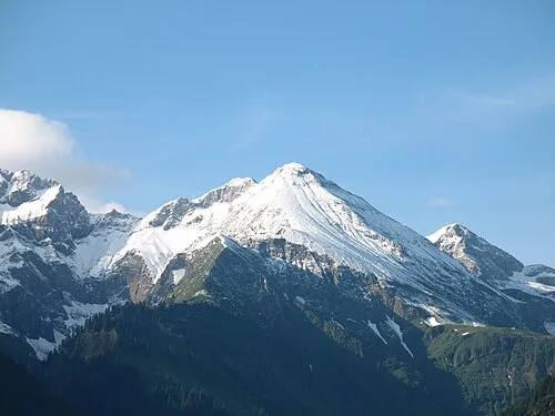 Linkers-Kopf Mountain, Oberstdorf, Markt1.2 km NW
-
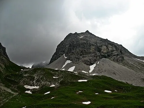 Hochgund-Spitze Mountain, Oberstdorf, Markt1.1 km W
-
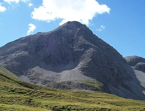 Rappenseekopf Mountain, Steeg1.6 km W
-
Steinschartenkopf Mountain, Holzgau0.7 km NE
-
 Westlicher Berg der guten Hoffnung Mountain, Oberstdorf, Markt1.4 km N
-
Wilder Mann Mountain, Holzgau0.8 km NE
-
Rotgundspitze Mountain, Austria1.1 km NW
-
Peischelspitze Mountain, Steeg1.1 km S
Sources & licences
Data last updated: · 2 independent sources